Wheeler Peak is the highest point in New Mexico at 13,161'.
The hike to the summit via Bull of the Woods is about 15 miles round trip, and has an elevation gain from 9,000 to 13,161'.
This climb is non-technical during most of the summer. But extreme
care should be taken during the thunderstorm season-July and August-since
much of the Wheeler Peak trail is above timberline and exposed. Getting to and
off the summit before thunderstorms this time of year will entail a
near-dawn departure.  Wheeler Peak
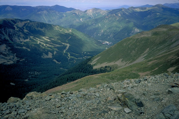
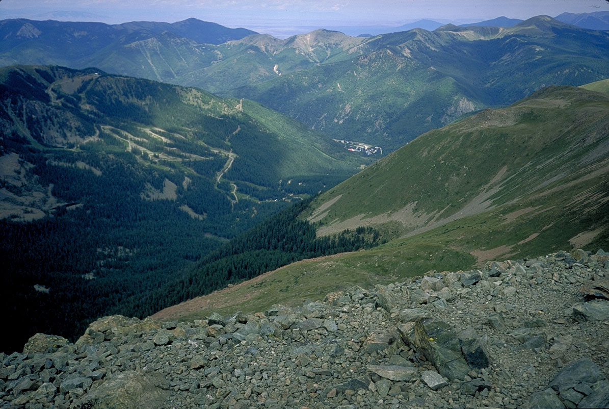
is invisible, just to the left of the mountain in the distant center. Taos ski
valley to the right.Click the picture to enlarge. Wheeler Peak
is invisible, just to the left of the mountain in the distant center. Taos ski
valley to the right.Click the picture to enlarge.
A hike to the summit in summer, 1997.
I left a bit before dawn, actually, because driving up the previous day I
had seen thunderstorms and severe lightning near Eagle Nest as early as 11:00
a.m. The trail leaves the trailhead at Taos ski area (the upper parking area)
and threads its way among fairly heavy growth as it follows a creek. Ignore
most of the footbridges across the creek; most of them go to the newly
developed houses on the other side of the creek. As the guide books say, just
stay on what seems to be the most heavily used trail (and the one going up).
Eventually, the trail will join an old logging/mining road and ascend to Bull
of the Woods pasture.
There are a couple of confusing trail junctions early on; some of them not
listed on the maps. So take a topo map with you and you can figure out the
proper course to take. (I did.) After a couple of hours, you'll hit Bull of
the Woods Pasture and the trail junction-you take a right here. This is a
popular camping spot for people doing overnighters here.
There's a good chance you'll meet up with the namesake of this meadow,
or his wife. There's a lot of cattle grazing around here, taking advantage of
cheap public land and messing up the trails.
On up the trail to a saddle between Bull of the Woods mountain and the
line of peaks leading up to Wheeler. Here's a good resting point if you're so
inclined. [No pun intended.] There's supposed to be some old mines around here,
but I didn't have the time to explore. There was heavy overcast in
places, and I really wanted to get to the summit and back below timberline
before noon or so.
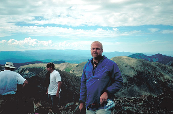
 Summit
view from Wheeler Peak, looking up Taos valley. Some people hasten their descent
by hopping down this slope. I didn't.(Click to enlarge). Summit
view from Wheeler Peak, looking up Taos valley. Some people hasten their descent
by hopping down this slope. I didn't.(Click to enlarge).
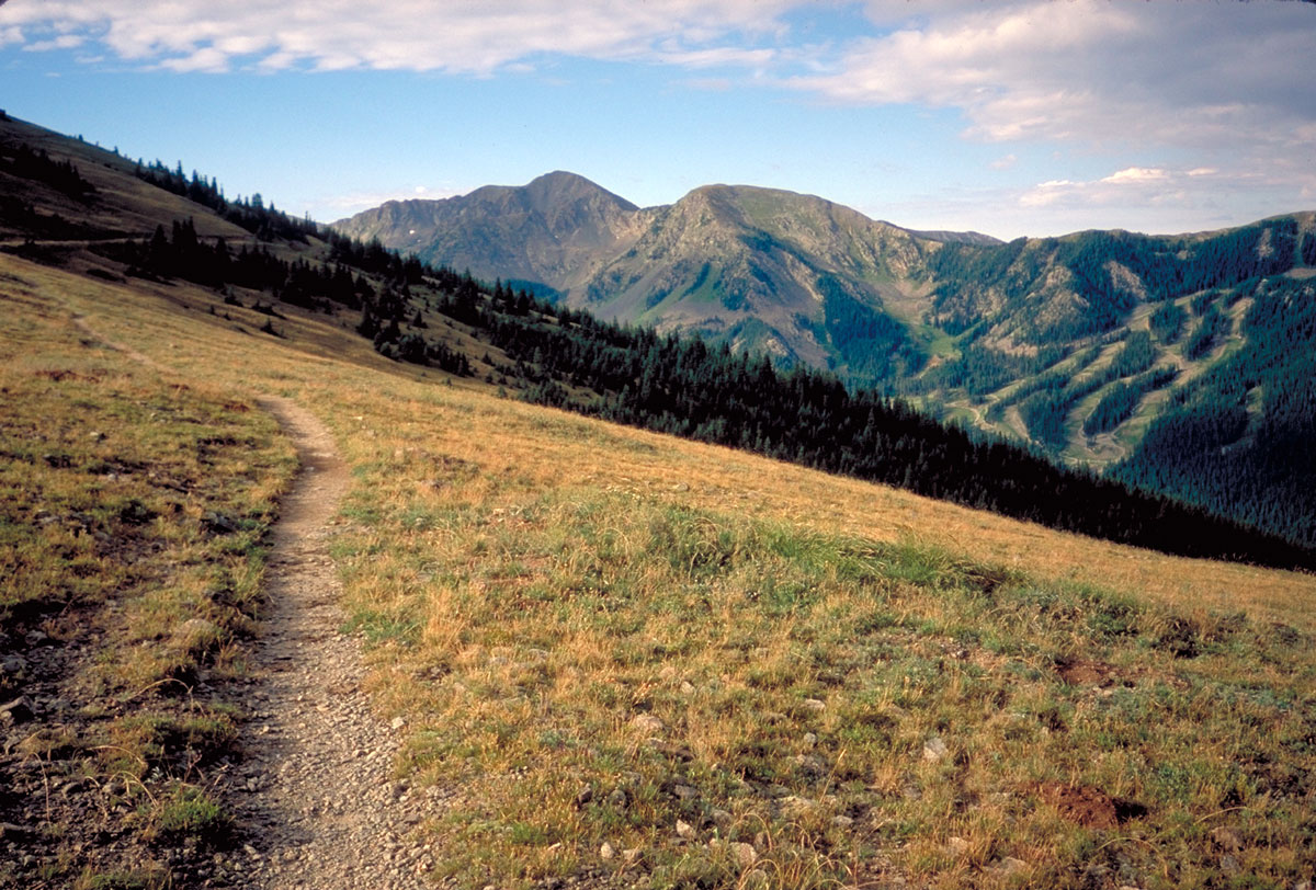
Soon the trail emerges from the forest and for most of the rest of
the trail skirts the edge of the mountain ridge. The views are pretty
spectacular here, and you can enjoy them if, like me, the altitude begins to
hit you here and you began to go slower.
After you pass Frazer Mtn. (12,163'), the trail descends (inexplicably, to
me) to a wooded area and creek, and I'm told that's a good camping area. But
you lose substantial elevation at a time of the hike when you really don't feel
like wasting steps.
There's a cut-off here, made by numerous hikers, that bypasses some switchbacks--it's usually considered bad form to do so, but I'll admit I was tired enough that I took this bypass. I rejoined the trail shortly before descending into the saddle. I later realized most hikers bypass the saddle altogether, because as I emerged back out of the woods, a few hikers who had been way behind me were now catching up with me.
From here on, the task is obvious, as the trail is a long series of big switchbacks to the ridge top, which it then follows to the summit. By this time, it being Labor Day weekend and all, I could see several hikers and parties of hikers making their way up. Most of them going pretty slowly, so I didn't feel so bad about my head-pounding heart-pumping lung-busting reaction to the 13,000'+ altitude.
There's not much to say about the final mile-follow the trail, enjoy the views, and don't be too disappointed by Mt. Walter, a false summit (13,140') about 400 yards short of Wheeler. Up at the summit, there's a little rock wall (I guess if it were windy that would be handy), and some spectacular views. There are alpine lakes almost straight down, and in a pinch one could scramble down there quickly, but I think most people prefer the trail back down.
Total time for the trip, for me, was about 8 hours (five up, three down).

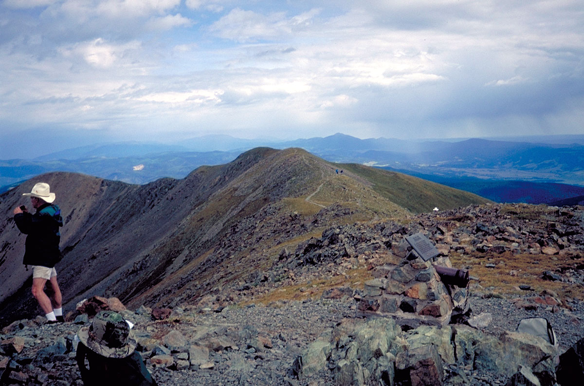
Summit views; me (top) and looking back along the summit
ridge. (click to enlarge)
| 
