August 27, 2002 Purple Lake to Silver Pass Creek 45º—72º @MHP
Left Purple Lake (and
here, and here)
around 8:10 a.m. On
the way out, passing another tent, a young man out in front
of his tent was barely awake. He asksed if I had seen 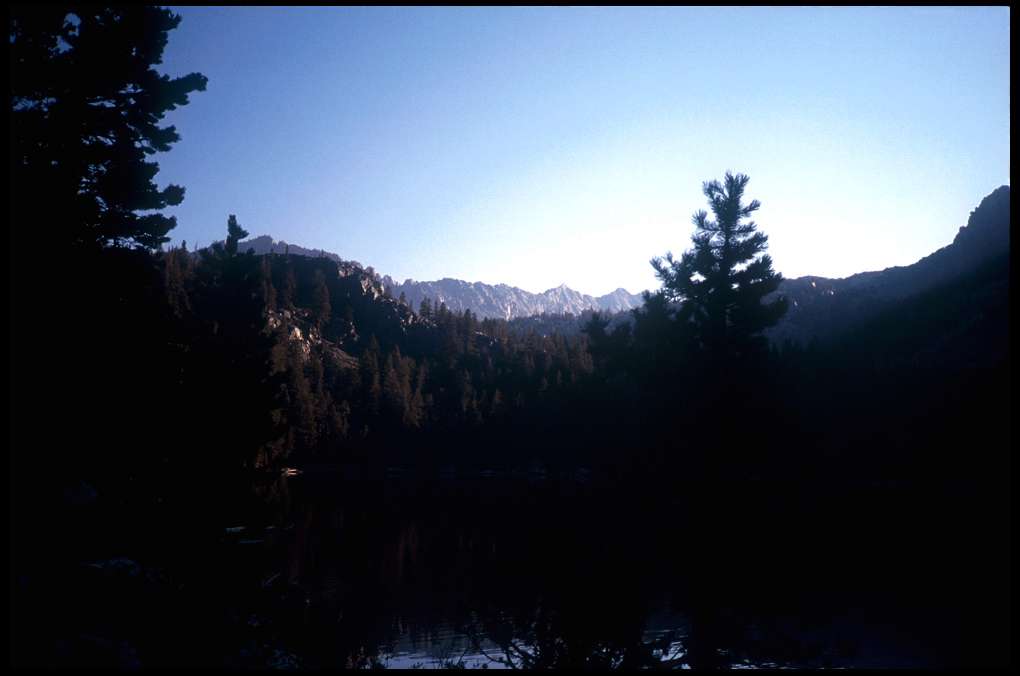 the
bear last night. No, I told him. "It was the coolest thing I ever saw.
I can't believe you didn't see it; it walked right by your sleeping bag." So
there was another bear
the
bear last night. No, I told him. "It was the coolest thing I ever saw.
I can't believe you didn't see it; it walked right by your sleeping bag." So
there was another bear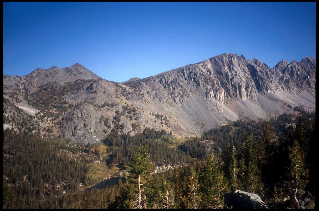 experience, but one I missed.
The trail ascended to yet another pass, then descended to Lake
Virginia, at
10,338'. This was pretty standard fare; ascend to a pass, descend to a
lake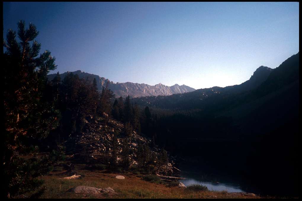 or valley, ascend again. The entire JMT is a series of ascents and
descents; a couple of miles of level hiking is a rare thing indeed, and one
must learn, as I was learning at this time, that you either accept this fact
or go crazy.
or valley, ascend again. The entire JMT is a series of ascents and
descents; a couple of miles of level hiking is a rare thing indeed, and one
must learn, as I was learning at this time, that you either accept this fact
or go crazy.
Lake Virginia was beautiful (it took us an hour and a half), and a very
large 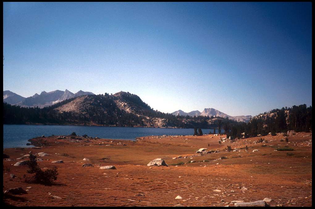 area,
too. Seemed to be much
area,
too. Seemed to be much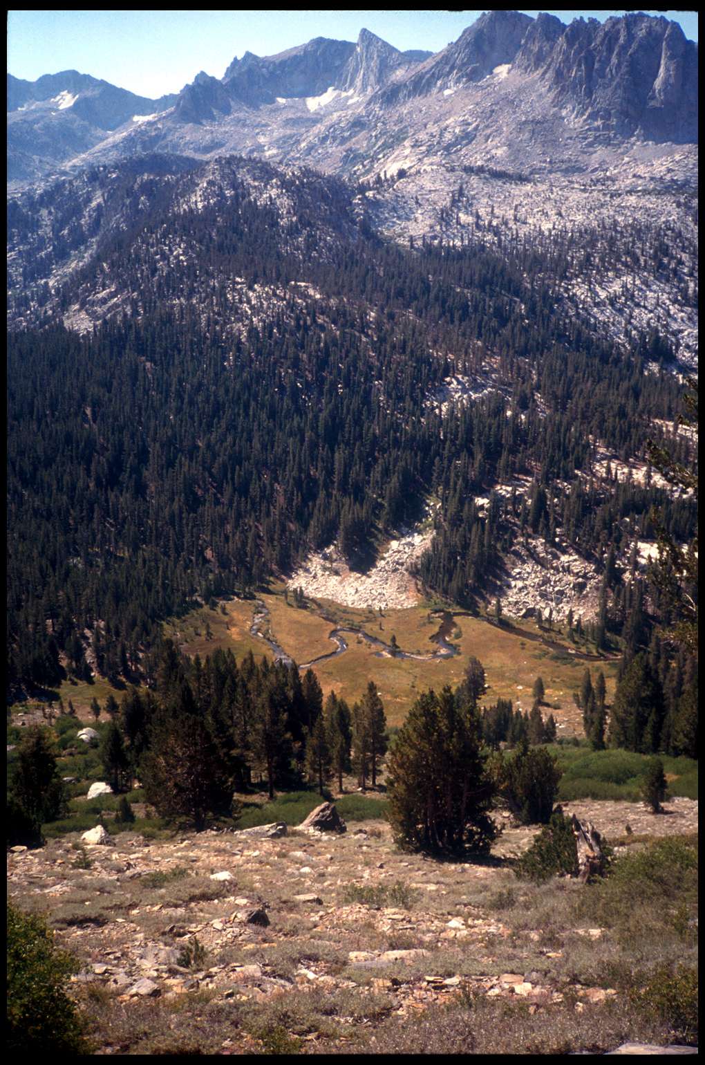 good camping around there if necessary.
We came upon an older couple there who were taking an extended weekend backpack
trip in the area. Chatted for a while. Left Lake Virginia, had a brief ascent,
then could see Tully
Hole way, way
down below. A very long, hard haul down
to there;
good camping around there if necessary.
We came upon an older couple there who were taking an extended weekend backpack
trip in the area. Chatted for a while. Left Lake Virginia, had a brief ascent,
then could see Tully
Hole way, way
down below. A very long, hard haul down
to there;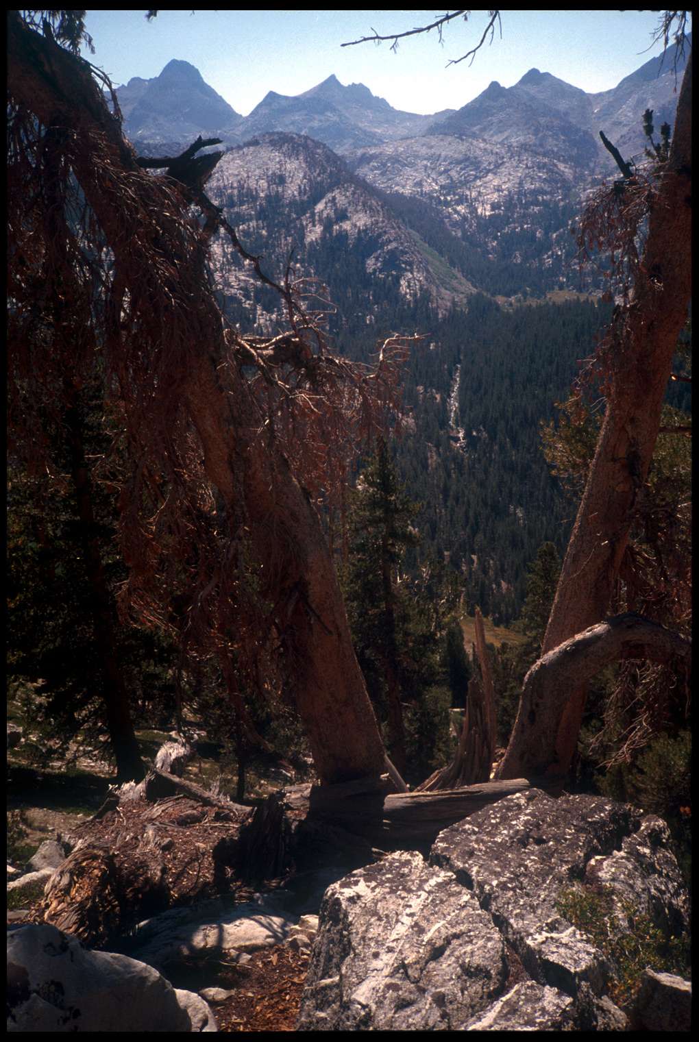 and my feet were starting to hurt. I recall seeing coming up the
trail a man who looked almost ghostlike. I don't remember the details, just
that he seemed to be in a daze as he trudged up the trail.
and my feet were starting to hurt. I recall seeing coming up the
trail a man who looked almost ghostlike. I don't remember the details, just
that he seemed to be in a daze as he trudged up the trail.
We made it all the way down, then to a trail junction by (I think) Fish
Creek. It was actually pretty warm here, and we stopped for a breather and
to filter water. I also recall dreading the next ascent, up to Squaw Lake.
Which was long and rather steep, rather tough. Then from there to Silver
Pass, 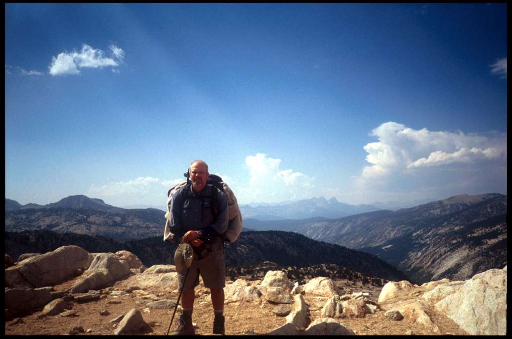 which wasn't so bad. Ran into Tim and Cheryl again around here. While
at the top of Silver
Pass I noticed clouds; perhaps rain in the near future?
After Silver
which wasn't so bad. Ran into Tim and Cheryl again around here. While
at the top of Silver
Pass I noticed clouds; perhaps rain in the near future?
After Silver 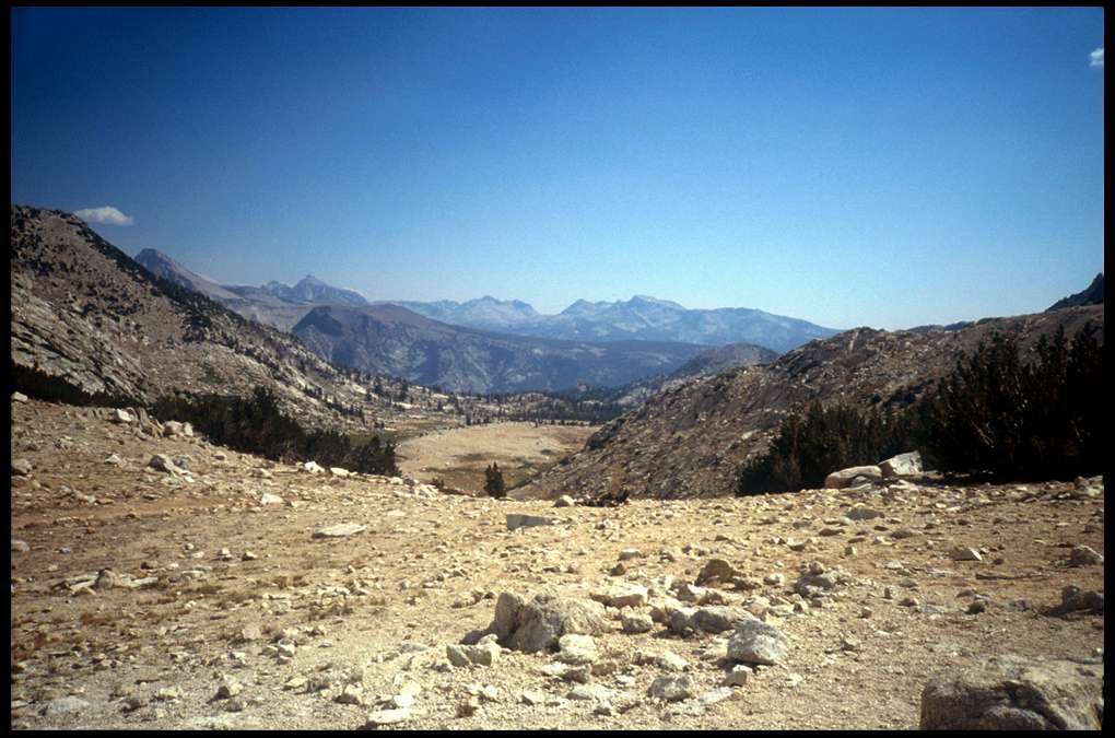 Pass, there was a rare section of trail which was quite level,
but even there my feet are complaining some. And then below that, where camping
is marked "good" on the map, there was little water. We finally
chose a camping spot, near a creek which was little more than a seep. The
location was nice; a valley just at timberline. At bedtime, I got my
super lightweight tarp out and practiced setting it up; just in case. That
day we'd hiked 11.6 miles.
Pass, there was a rare section of trail which was quite level,
but even there my feet are complaining some. And then below that, where camping
is marked "good" on the map, there was little water. We finally
chose a camping spot, near a creek which was little more than a seep. The
location was nice; a valley just at timberline. At bedtime, I got my
super lightweight tarp out and practiced setting it up; just in case. That
day we'd hiked 11.6 miles.