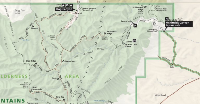
TR-Trip West Part I-Canyon de Chelly
Round trip to Fort Collins, starting with Canyon de Chelly in New Mexico
Originally posted 11/13/2026
Trip Report
Planning
This was a trip to go to the mountains and desert, without a lot a planning. I had two definite stops; my AirBnB in Cortez, where I’ve stayed before, and a couple of days in Ft. Collins, Colorado, with my old friend and former colleague C.J. and his wife. Aside from those fixed dates I wasn’t sure what I was going to do until the final week or so before my trip.
I ended up going to Canyon de Chelly in Arizona, thence to Cortez, Colorado with some time at Mesa Verde and Canyons of the Ancients and then some more, unplanned time at Mesa Verde. Then on to Fort Collins for a few days, and finally back home.
Got on the road Wednesday September 9, with a vague idea of heading to Canyon de Chelly on Diné and Federal land in Arizona. Spent the first night in Santa Rosa, New Mexico, following a long Gavenda tradition of staying there (it’s an old Route 66 crossroads) as it’s a good one night travel from Austin.
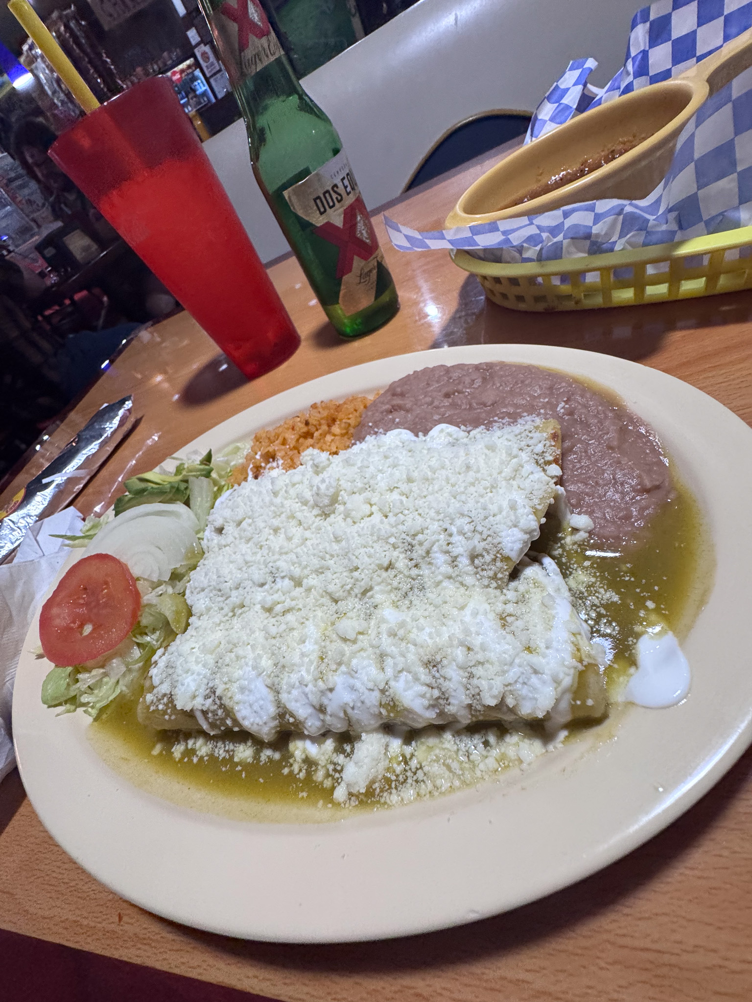
Instead of my usual fast-food fare I tried the Mexican restaurant across the street and it was not bad.
The next day (9/10/26) I headed out to Canyon de Chelly. It was only on my radar because someone had mentioned it recently and I’d started thinking about it; I’ve been almost everywhere in the Four Corners region but my only familiarity with Canyon de Chelly was the famous Ansel Adams and Edward Curtis photographs.
I arrived at Canyon de Chelly and went to the visitor center. I dropped the only two Navajo phrases I know and they didn’t kick me out, so that was good. I picked up a guide map, and asked about camping. They told me there were only two campgrounds, and they were managed by the Navajo Nation not the NPS. I went to the nearby Cottonwood Campground; I told the young Diné at the entrance I was just going to drive through it to check it out and then maybe go look at the other campground. I exited, looked at my map and thought, meh, I’ll just pitch my tent here. Upon reentering the campground, the young man smiled and said “That was quick.”
The campground was pretty nondescript. Some trees, but not much of a view, and the sounds of the nearby road were incessant. But it was almost empty, only two or three other sites taken, which was a huge plus for me.
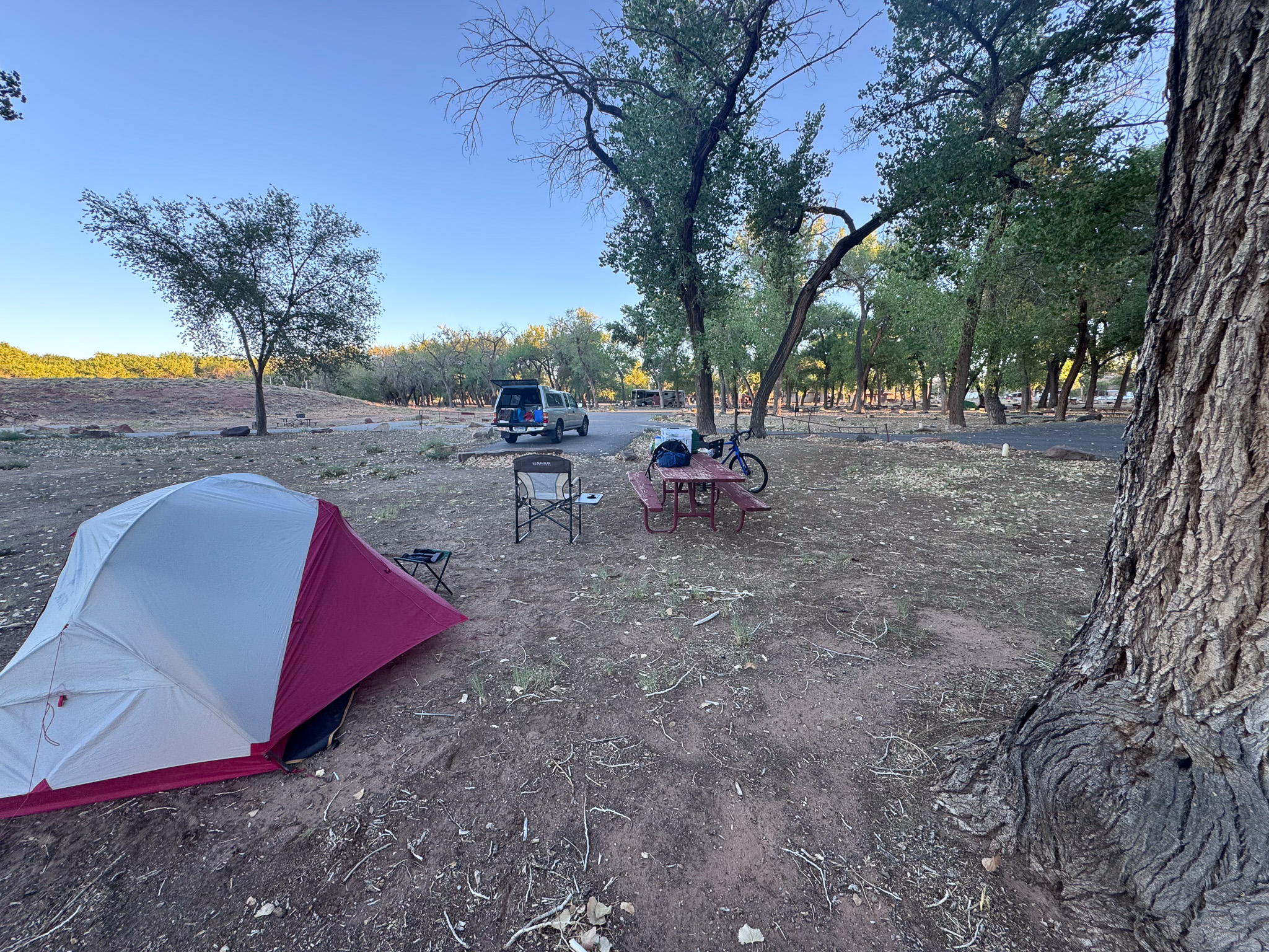
I should point out that I had my bicycle with me. I decided to take my bike on this trip and loaded it into the camper. It barely fit, and only with a slight tilt. It was annoying to load and to unload. I rode it around the campground a bit.
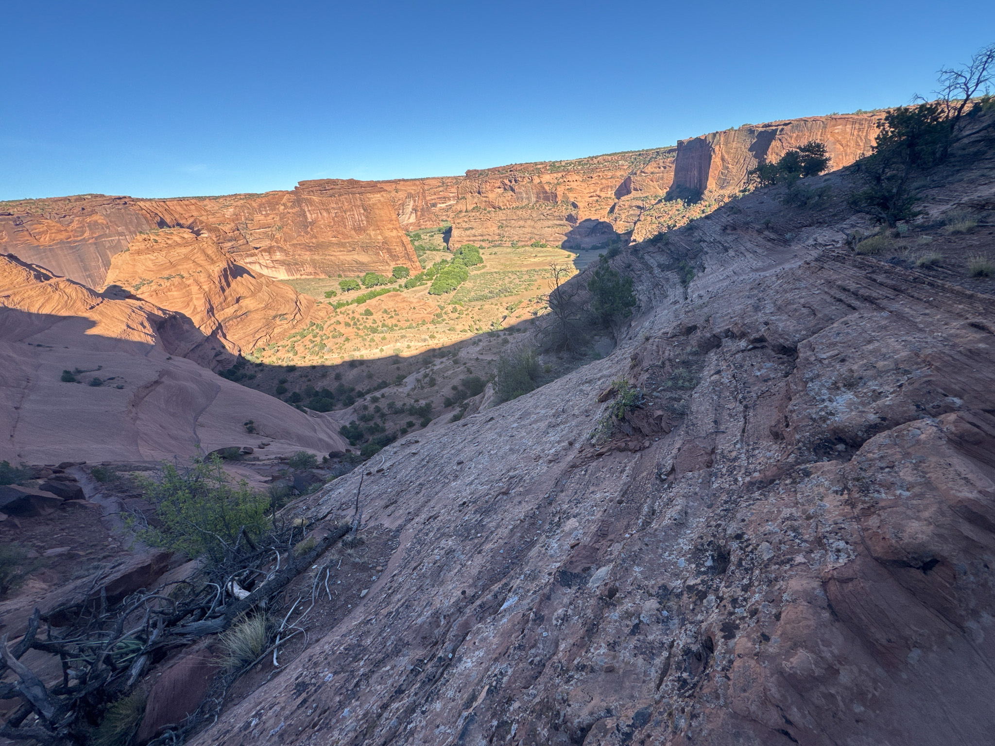
Before turning in for the night I figured I had enough time for the well-known White House hike. It’s one of the few that doesn’t require local guides or escorts.
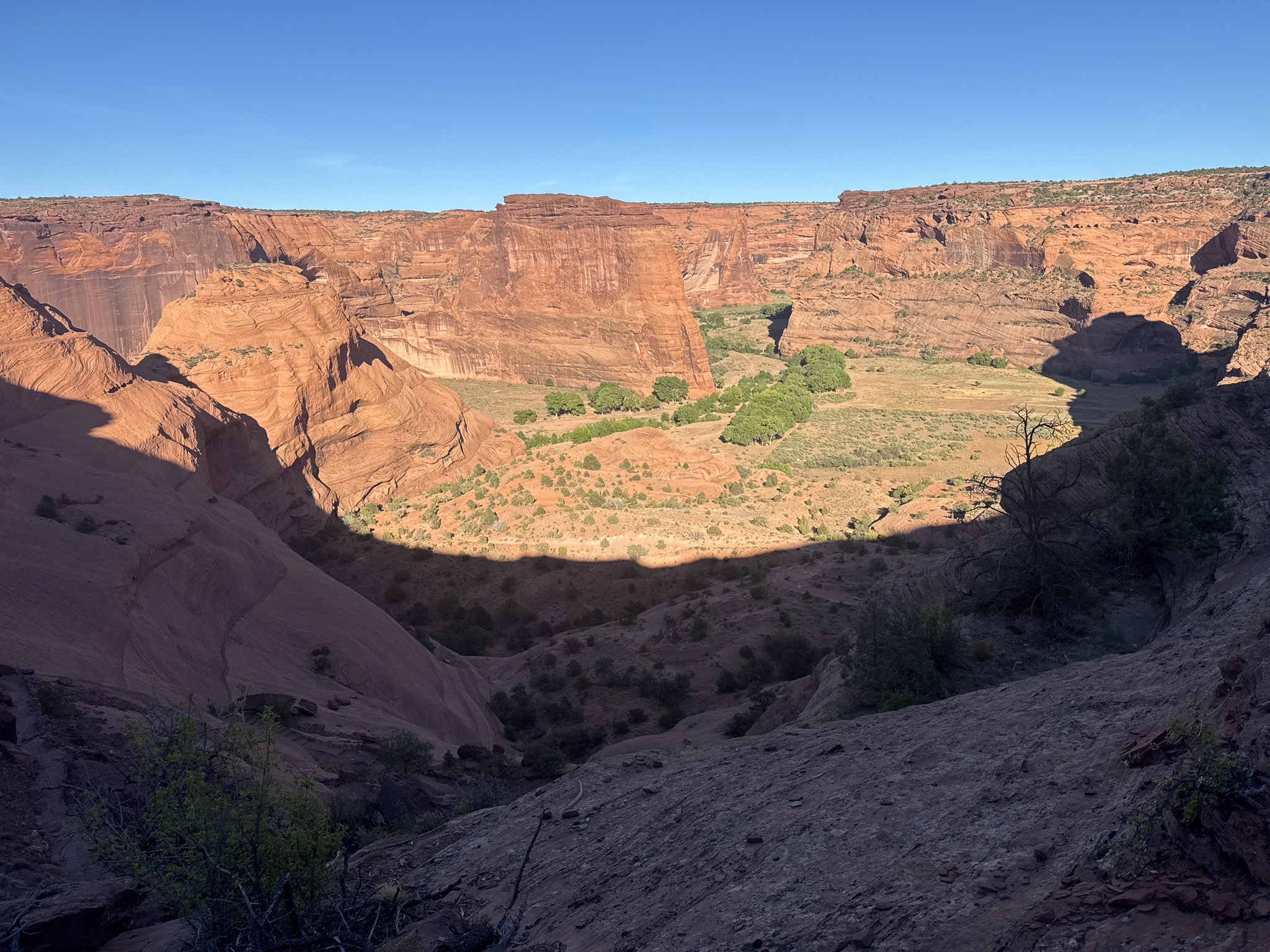
I set up camp then went out to the trailhead for the White House hike. I wasn’t sure I was going to do it as it was getting late in the day; but that also meant beautiful, warm late day sun. At the trailhead there was one other vehicle, and one with a Navajo sitting in the back with jewelry and pottery displayed. Another Navajo was near the trail head, with rocks he’d painted.
I calculated the time left before dark and decided to head down the trail. After a bit on the slick rock along the top, right where the trail drops into the canyon a man popped out from below, looked around, punched the watch on his wrist and raised his arms. I said something like, “You won!” and we had a nice chat. He said he was a cross-country coach for a nearby college, and he wanted to run this trail as he hadn’t done it in many years. He spoke of his parents and grandparents. “My grandmother wouldn’t let anyone help her with the sheep. ‘You don’t know what you’re doing; you’ll lose them!!'”
I headed down the trail. It was one of those absolutely perfect desert days; no wind, late afternoon sun bathing everything in a warm red light. Dead quiet, too. I did not come across a soul until the bottom of the descent, where I came upon a guy hiking out. We exchanged pleasantries but no more.
After getting to the bottom of the canyon, the trail kind of meandered a bit, passing a hogan, and there the trail had several variations. I knew the general direction to head, but was wandering a bit. Suddenly I saw an older Diné man, in blue jeans and long sleeved shirt. He was just standing there, like he was waiting for me and I was late. We chatted a bit. He lived down there, he told me. “The ruins are that way,” he told me, pointing down the path. I told him thanks and headed down the trail, which blended with the road along and through the wash.
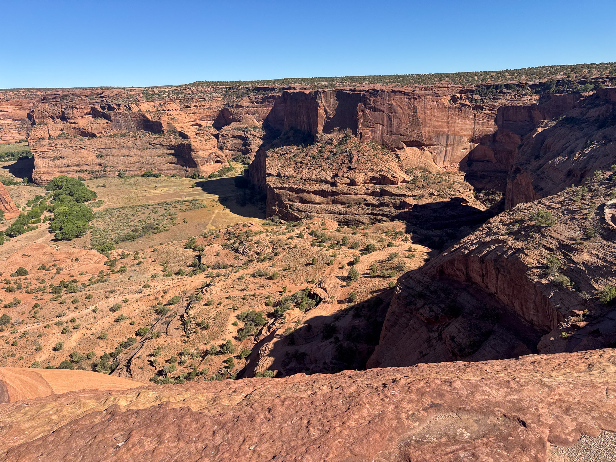
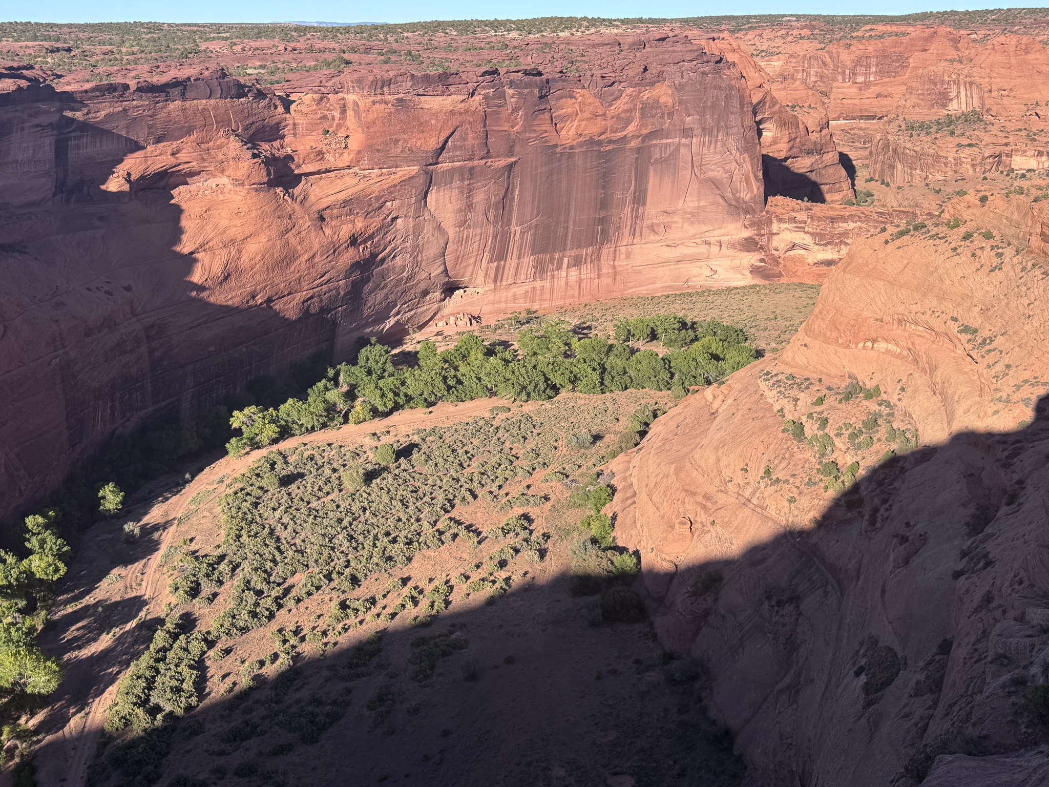
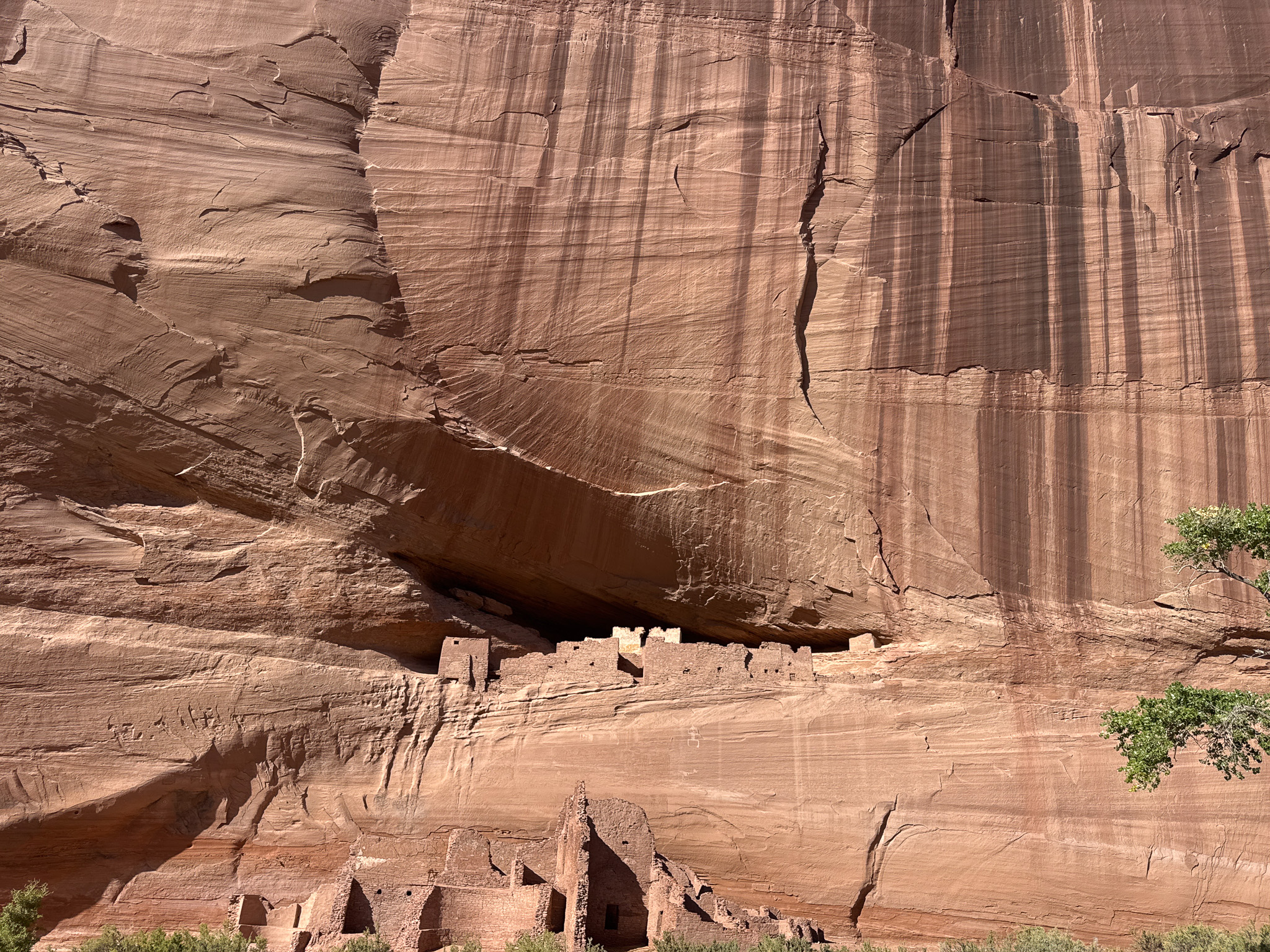
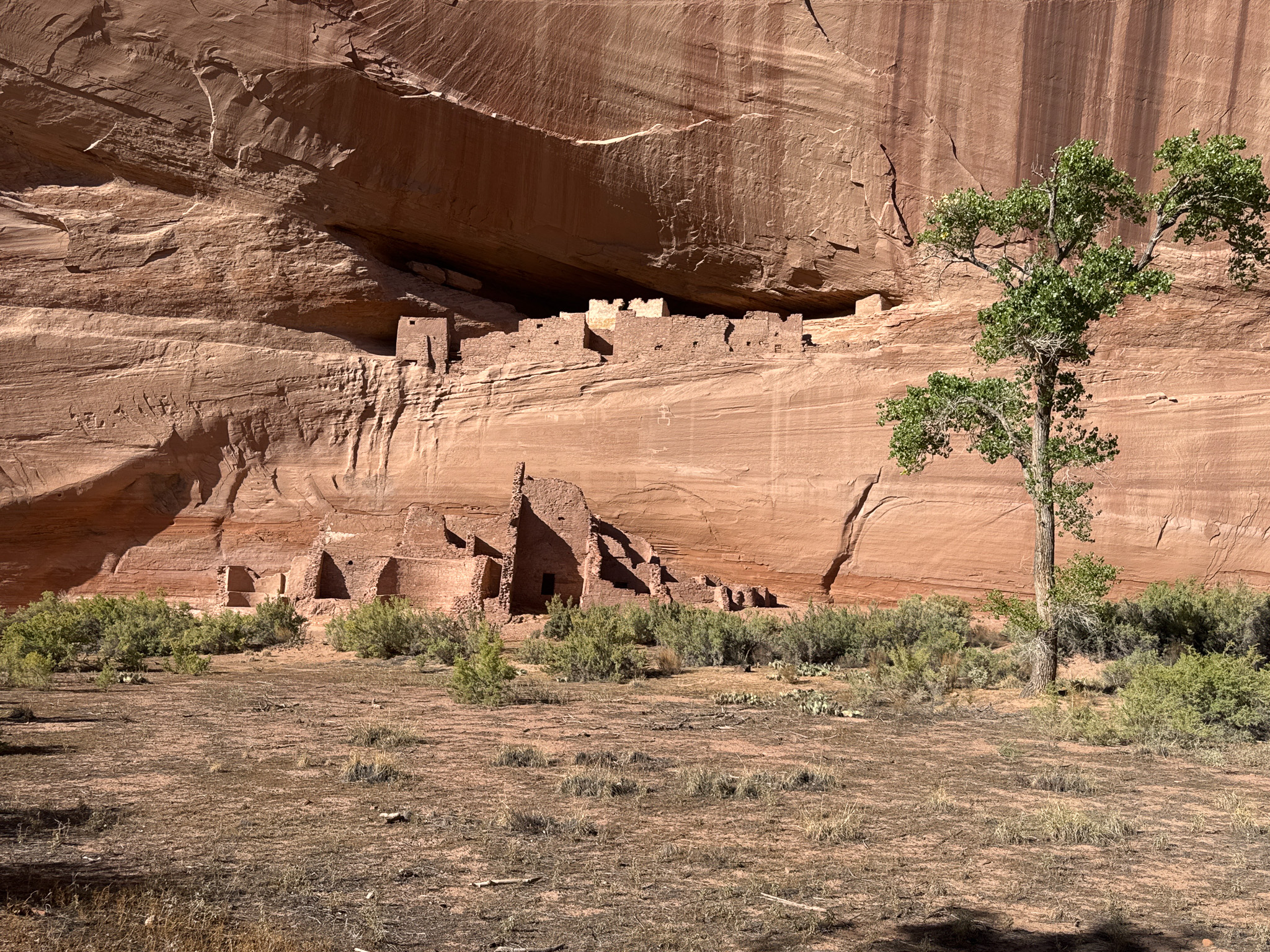
Finally I got to the White House itself. A fence keeps people from encroaching. It’s an amazing site and as had been the case the rest of the hike nobody was around to intrude on my experience.
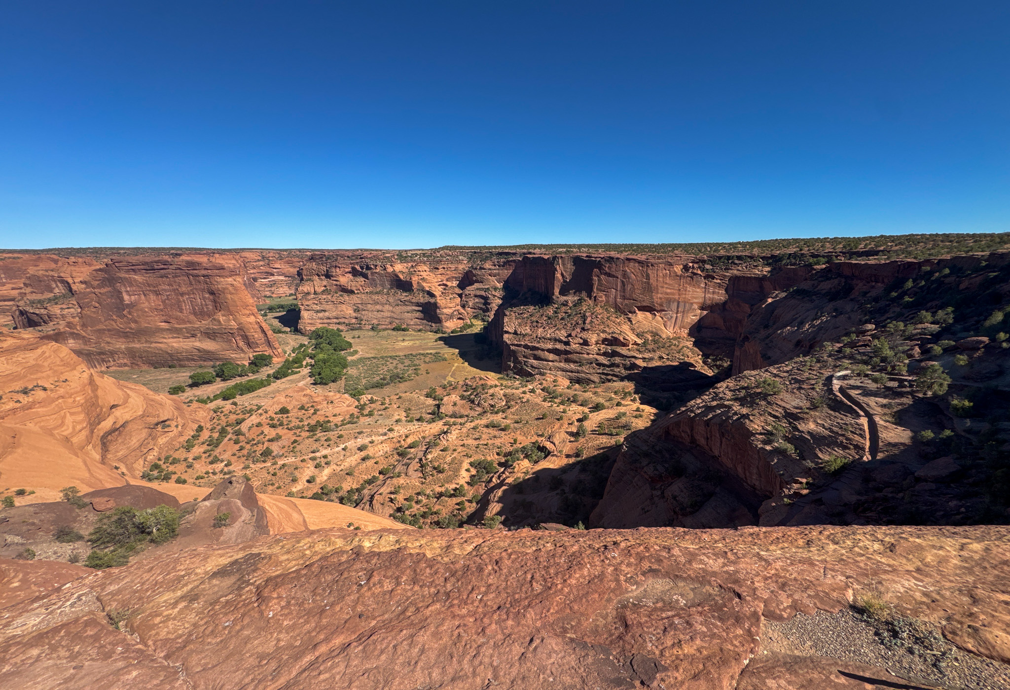
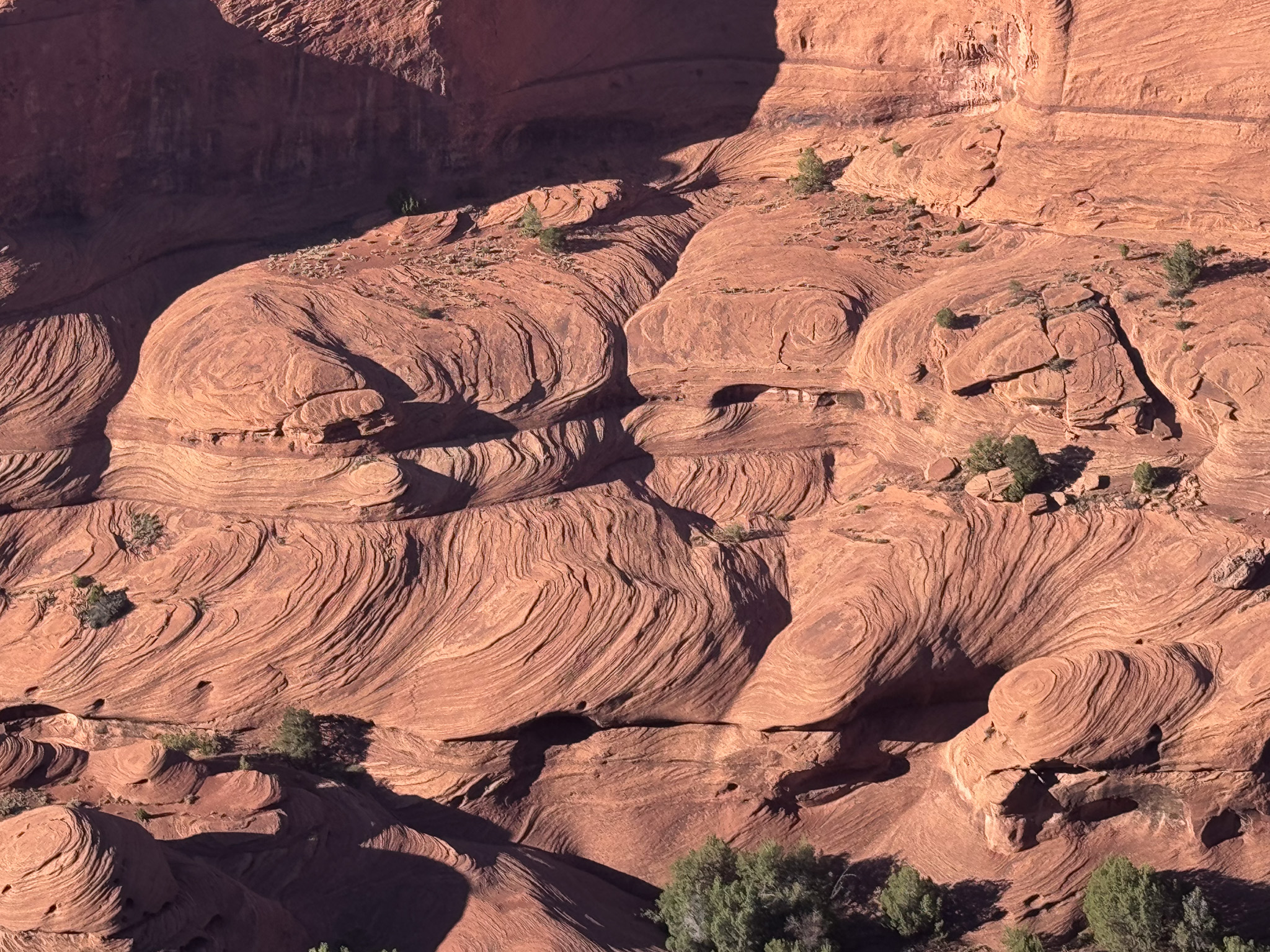
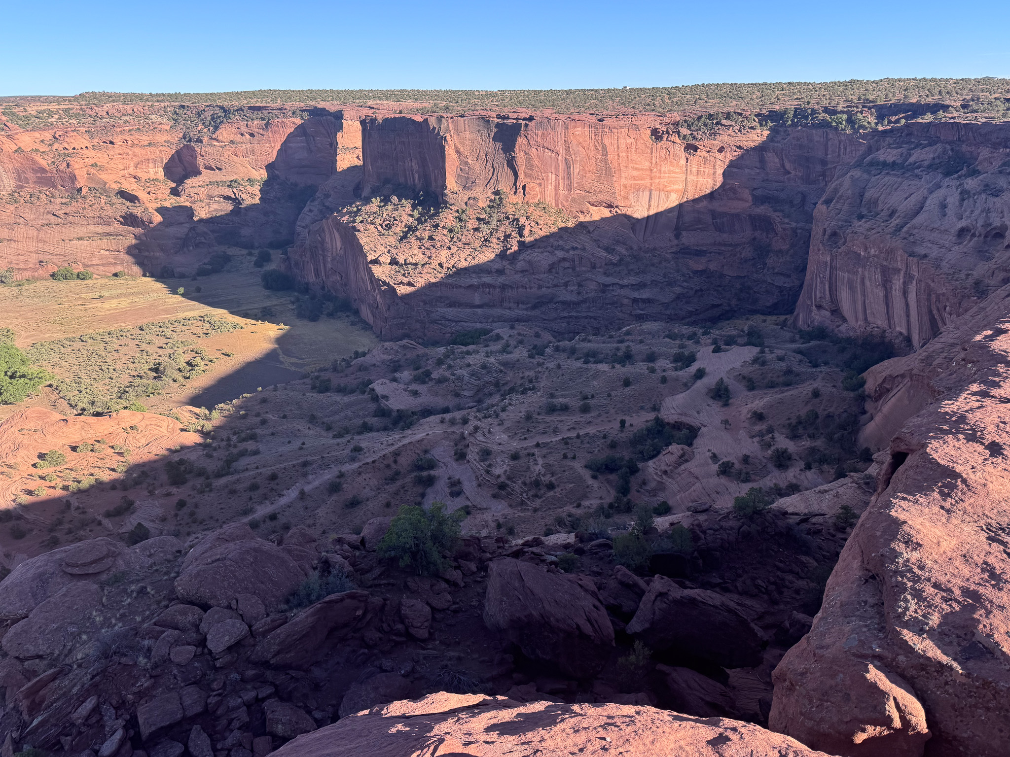
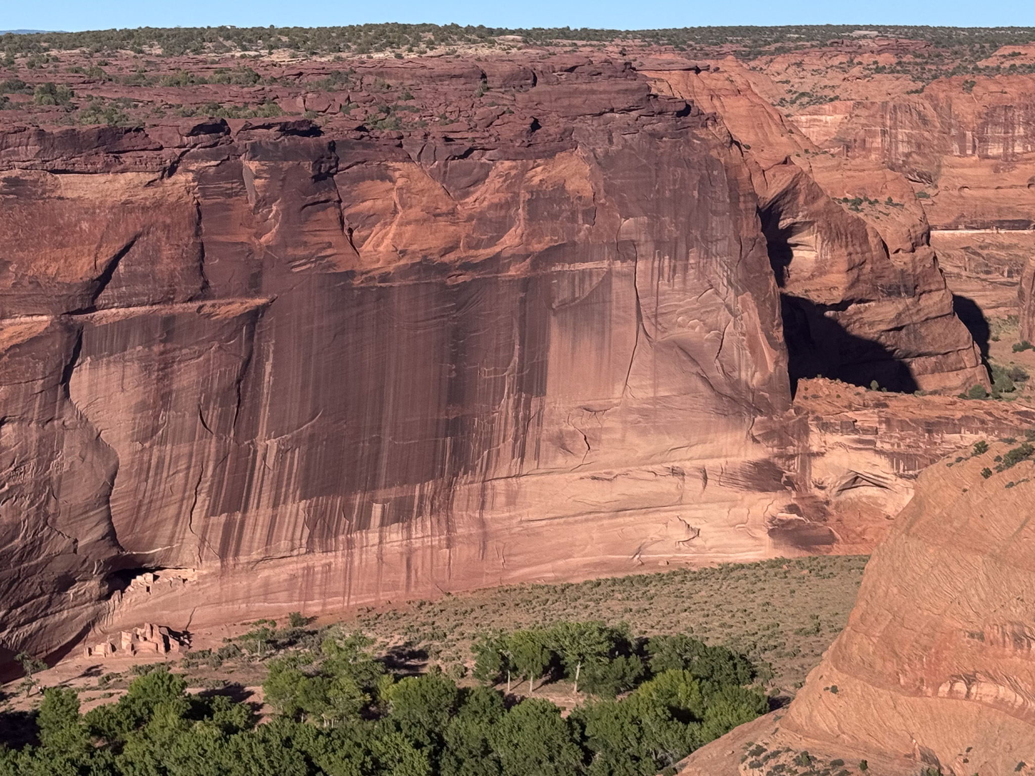
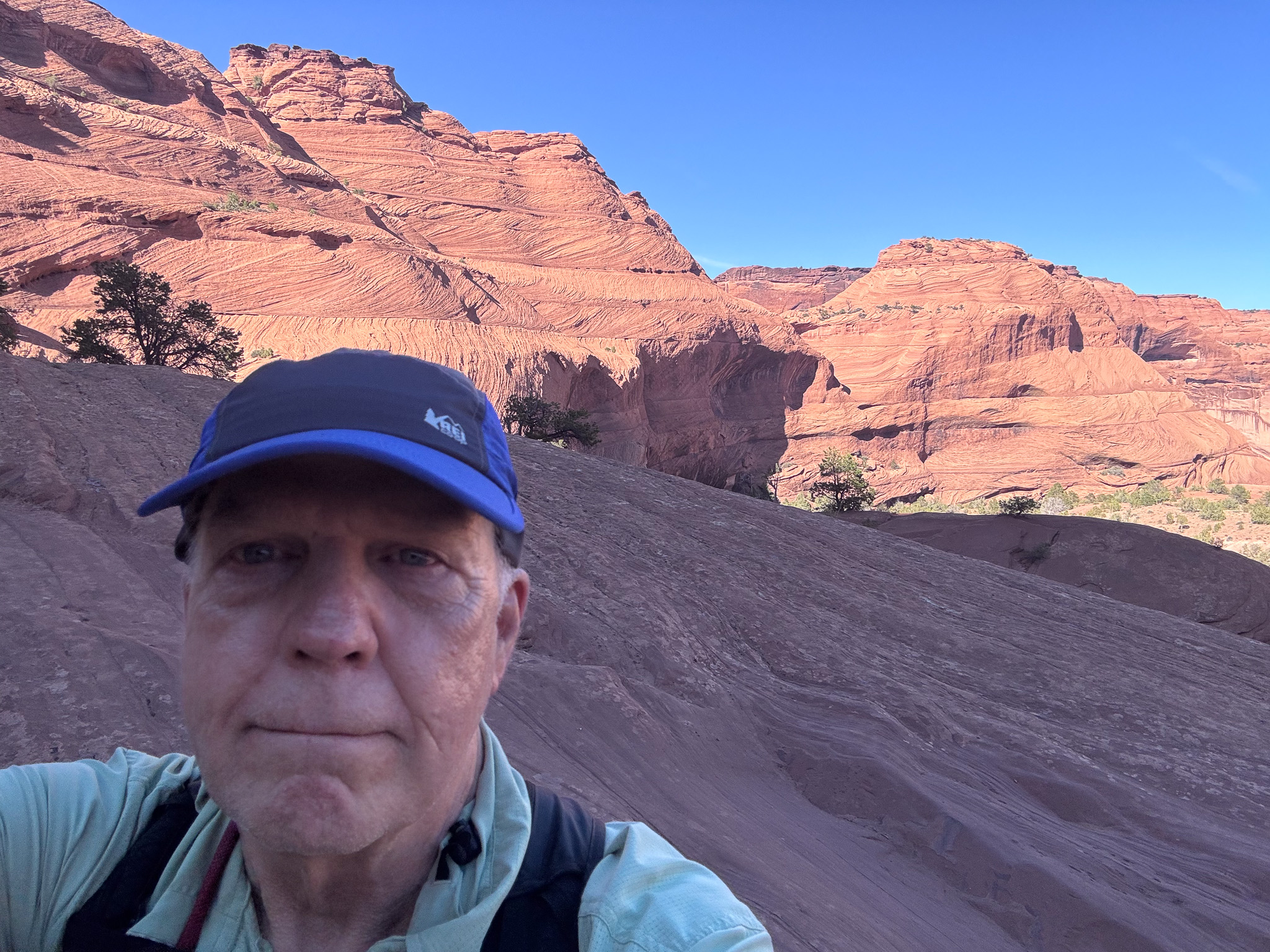
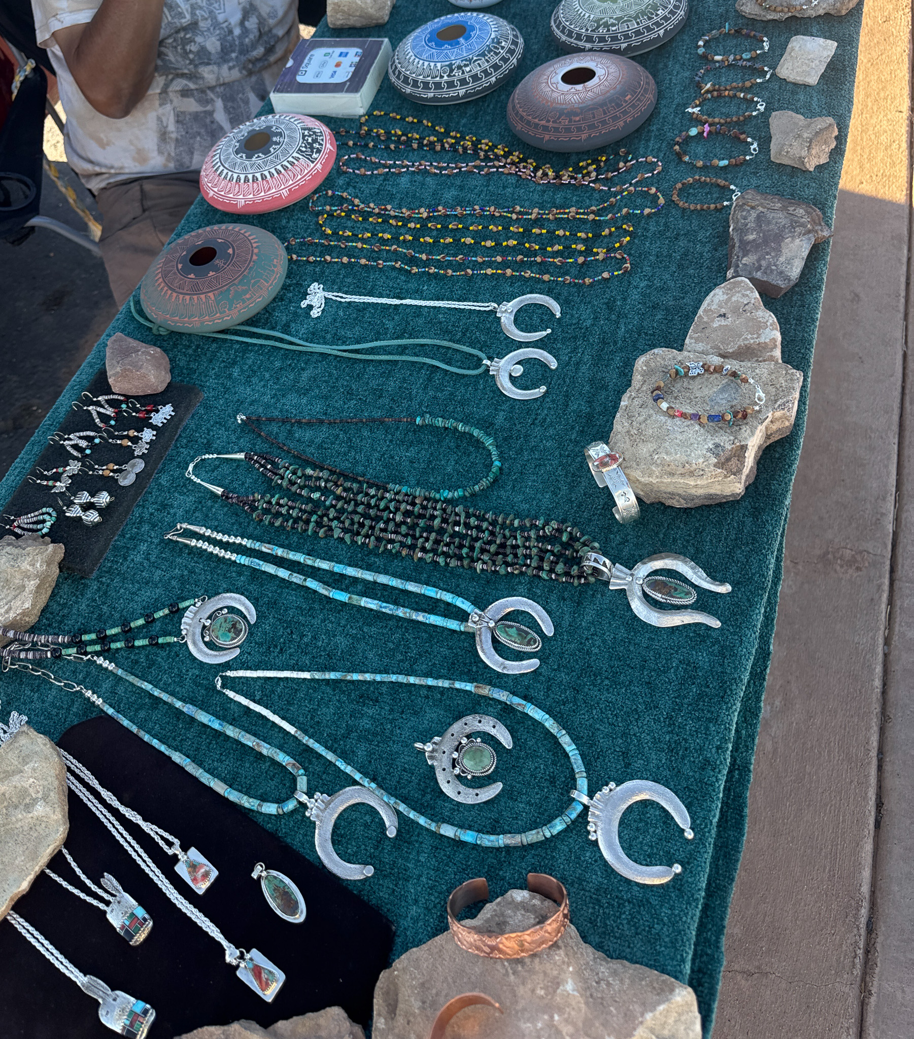
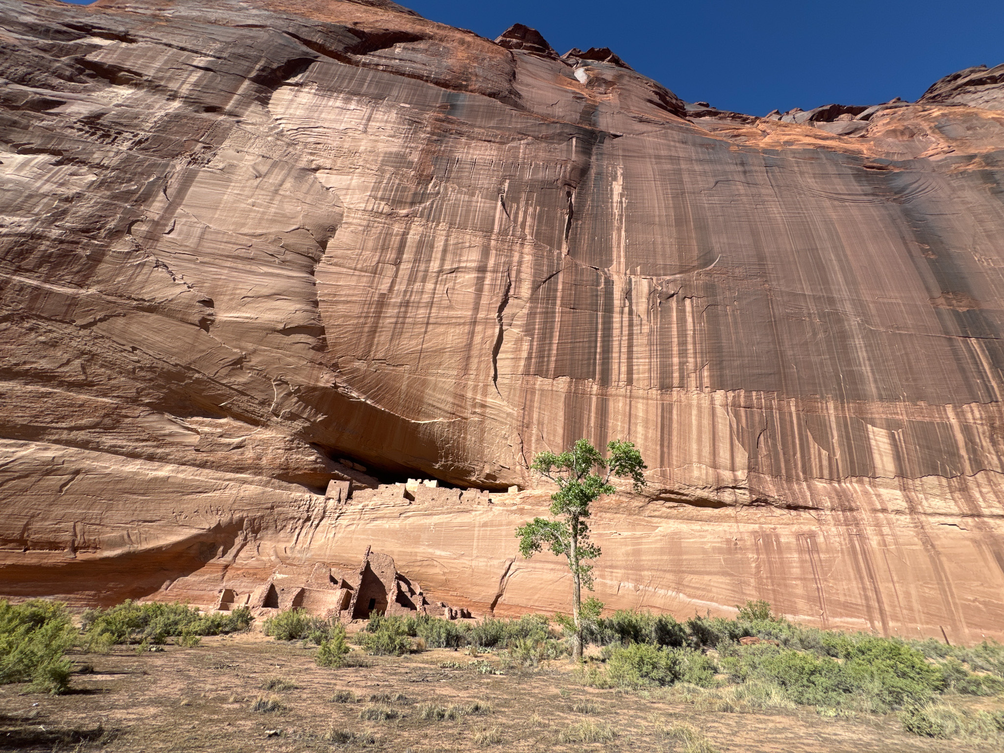
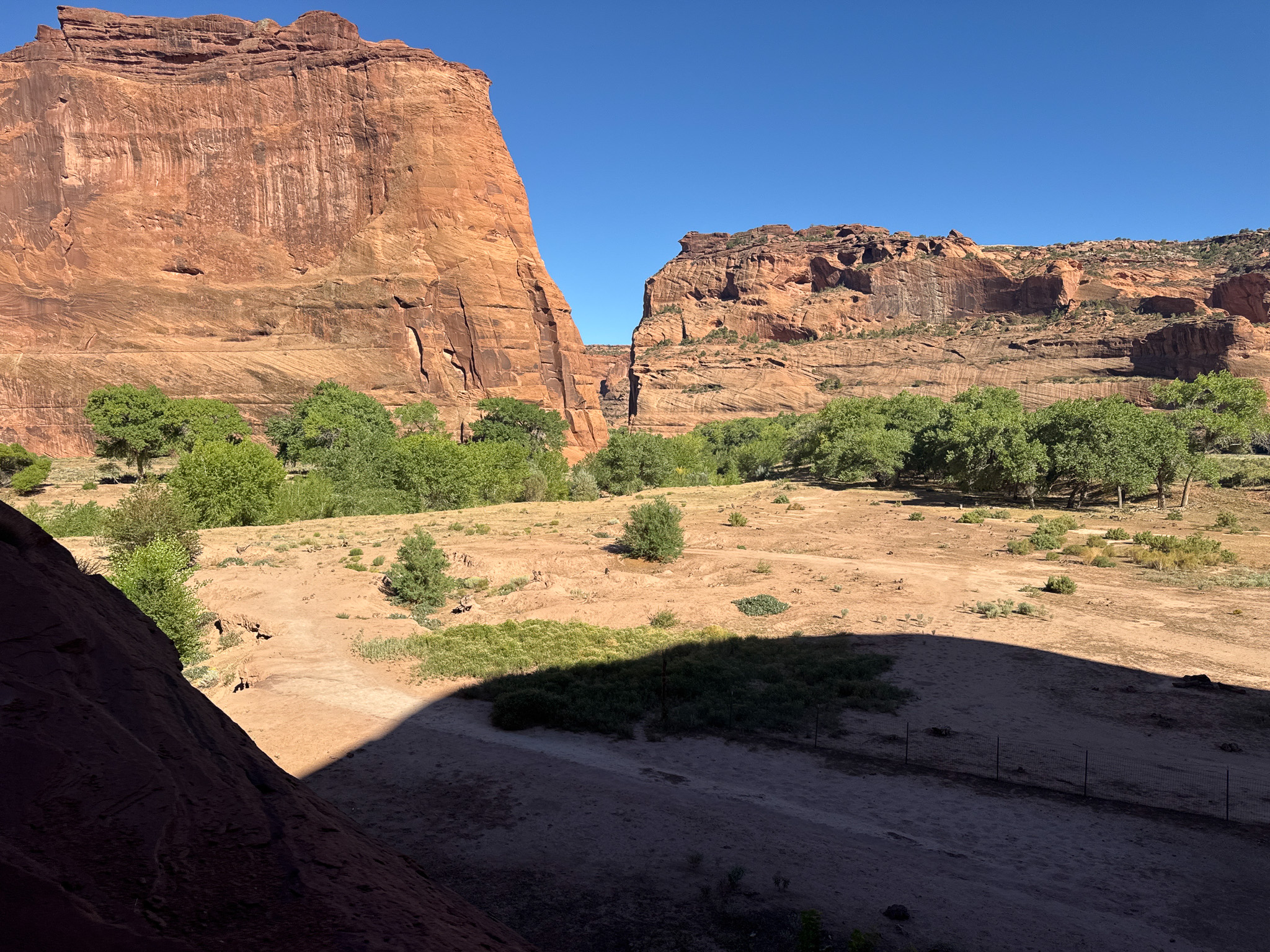
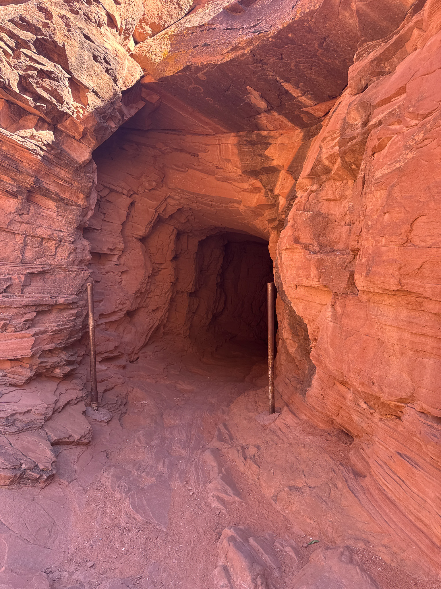
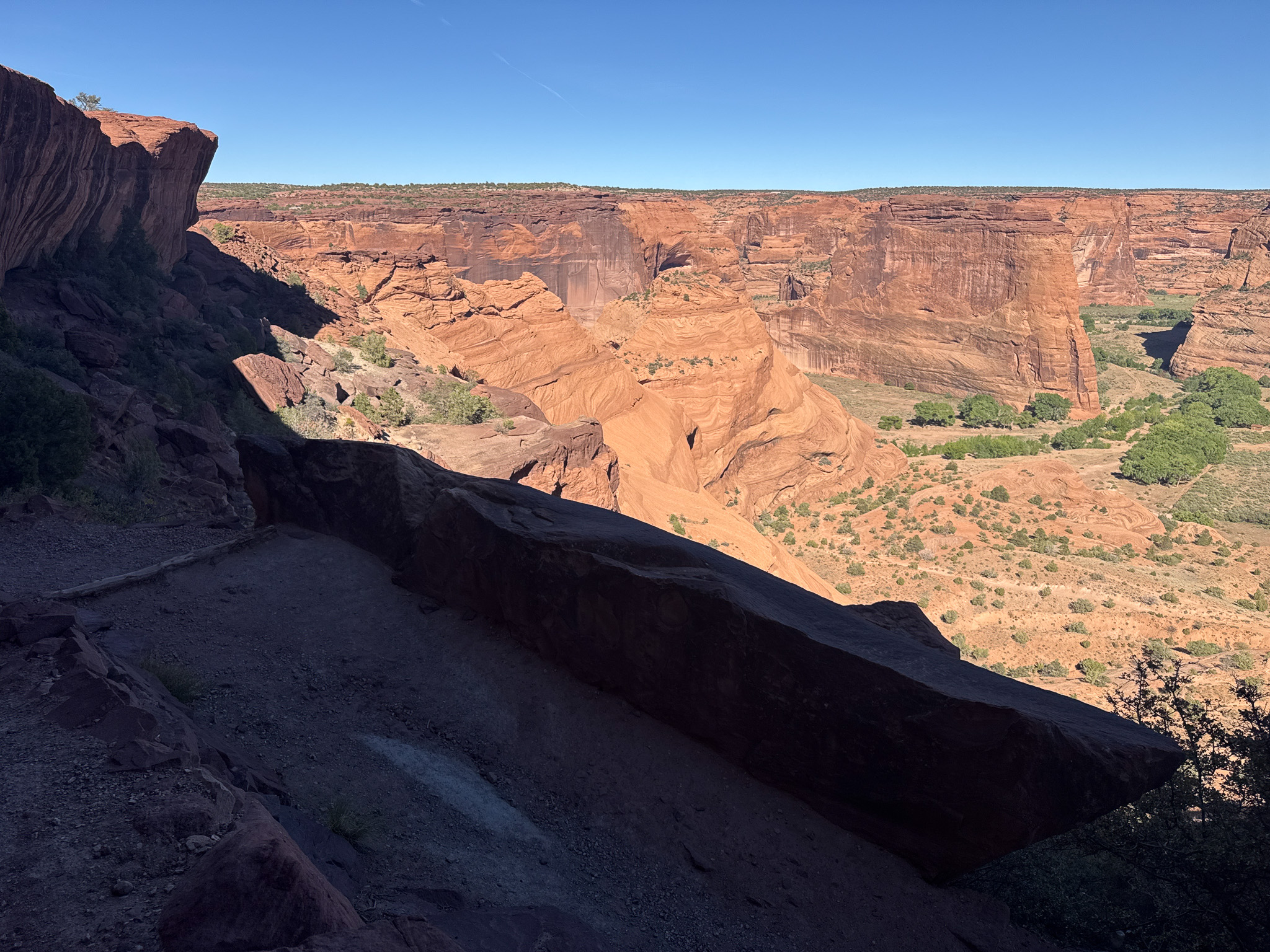
When got back to the top, I talked with the craftsmen for a bit. The rock-painter showed me the details of his wares, histories of the area and the Diné in symbols he’d painted on the rock faces. The silver and pottery gentleman told me the items were made by him and his wife. I picked one of the silver-turquoise items up; it was heavy–solid silver. I asked his permission and took a photo of him and his wares.
Returning to the campground, I rode my bike around it a bit and counted only three or four other sites taken. Before turning in for the night, I checked out the park guide map and planned a couple of stops for the morning before leaving the park–Spider Rock Overlook, and Massacre Cave Overlook. It was a bit warm for camping (about 60º for a low) and there was traffic noise from the highway for much of the night; but all in all a decent place to stay.
As I was leaving the campground the next morning (9/11/26) two things happened to my truck almost simultaneously but not at all related. First, the electrical harness in the driver side door got disconnected, which meant I was unable to lower (or raise) either window for the balance of the trip. Then a few minutes later I noticed the engine temperature gauge running very cool; it wasn’t the wire but a stuck thermostat (thankfully stuck open and not closed).
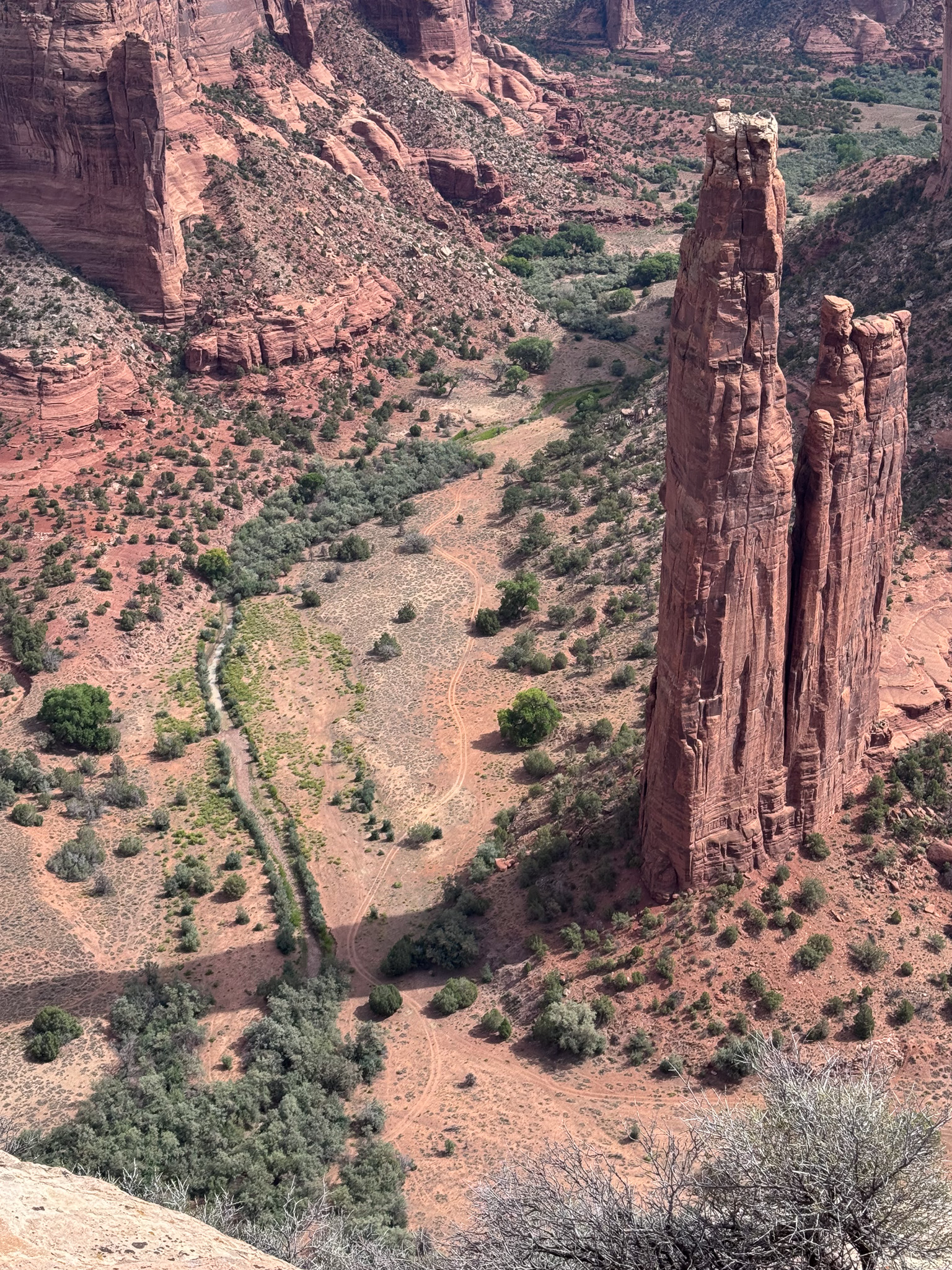
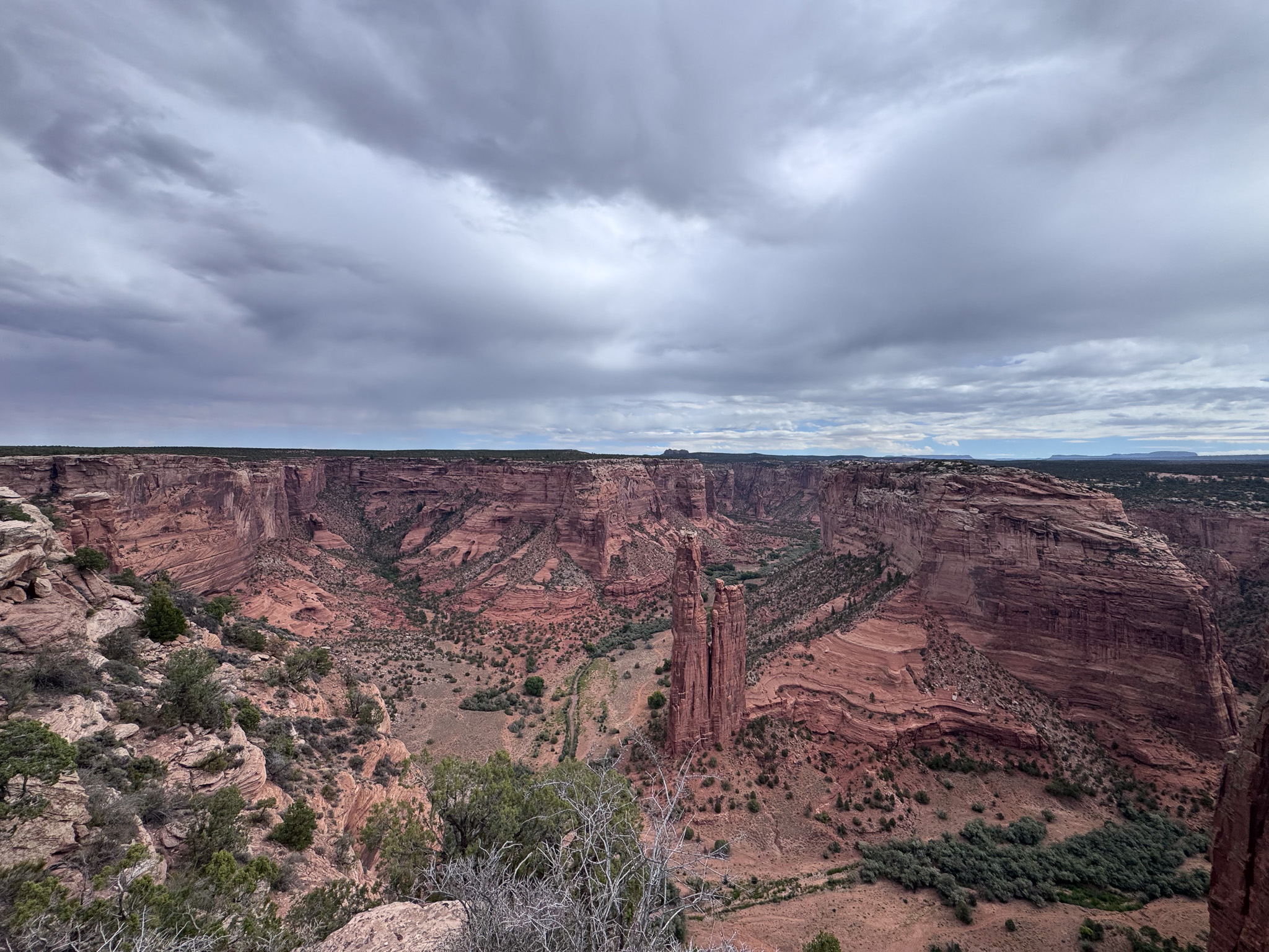
I went on down the South Rim to the Spider Rock (Tsé Na’ashjé’ii) overlook and found it mostly deserted and yet another amazing vista, even though it was overcast. In Diné culture it is believed Spider Woman (Na’ashjé’ii Asdzą́ą́) lives at the Spider Rock.
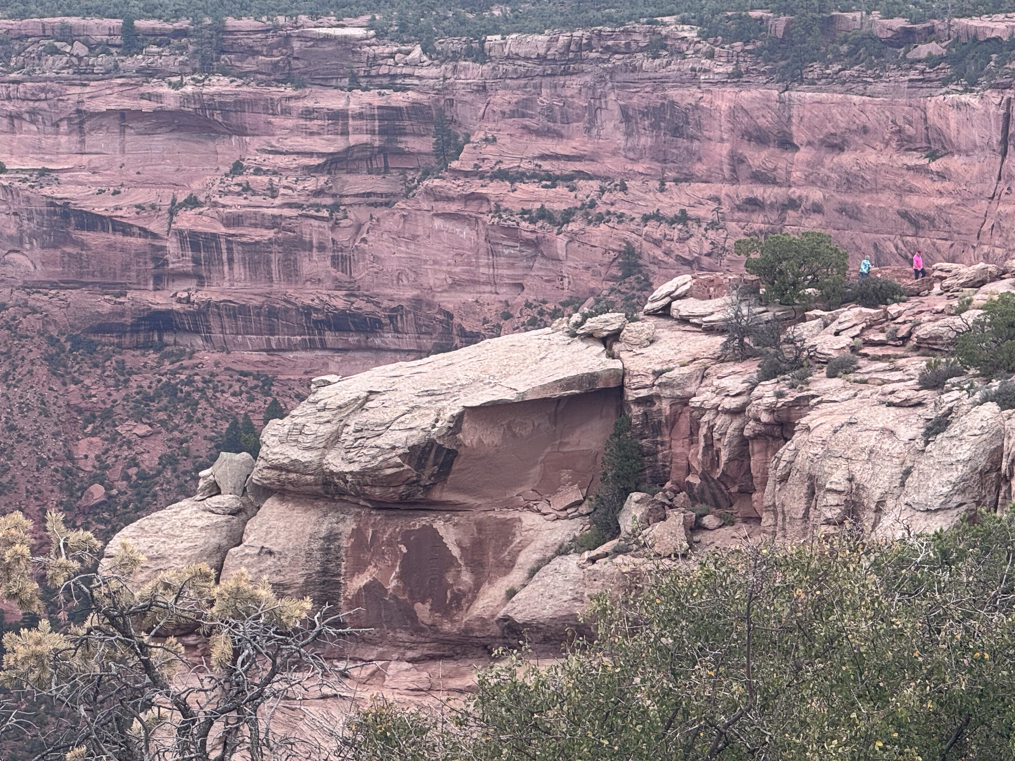
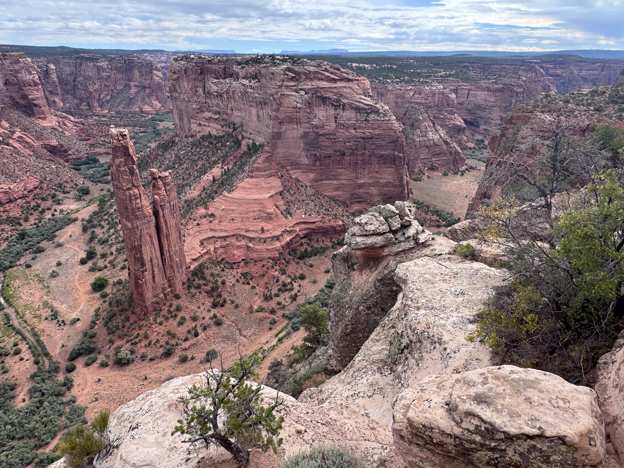
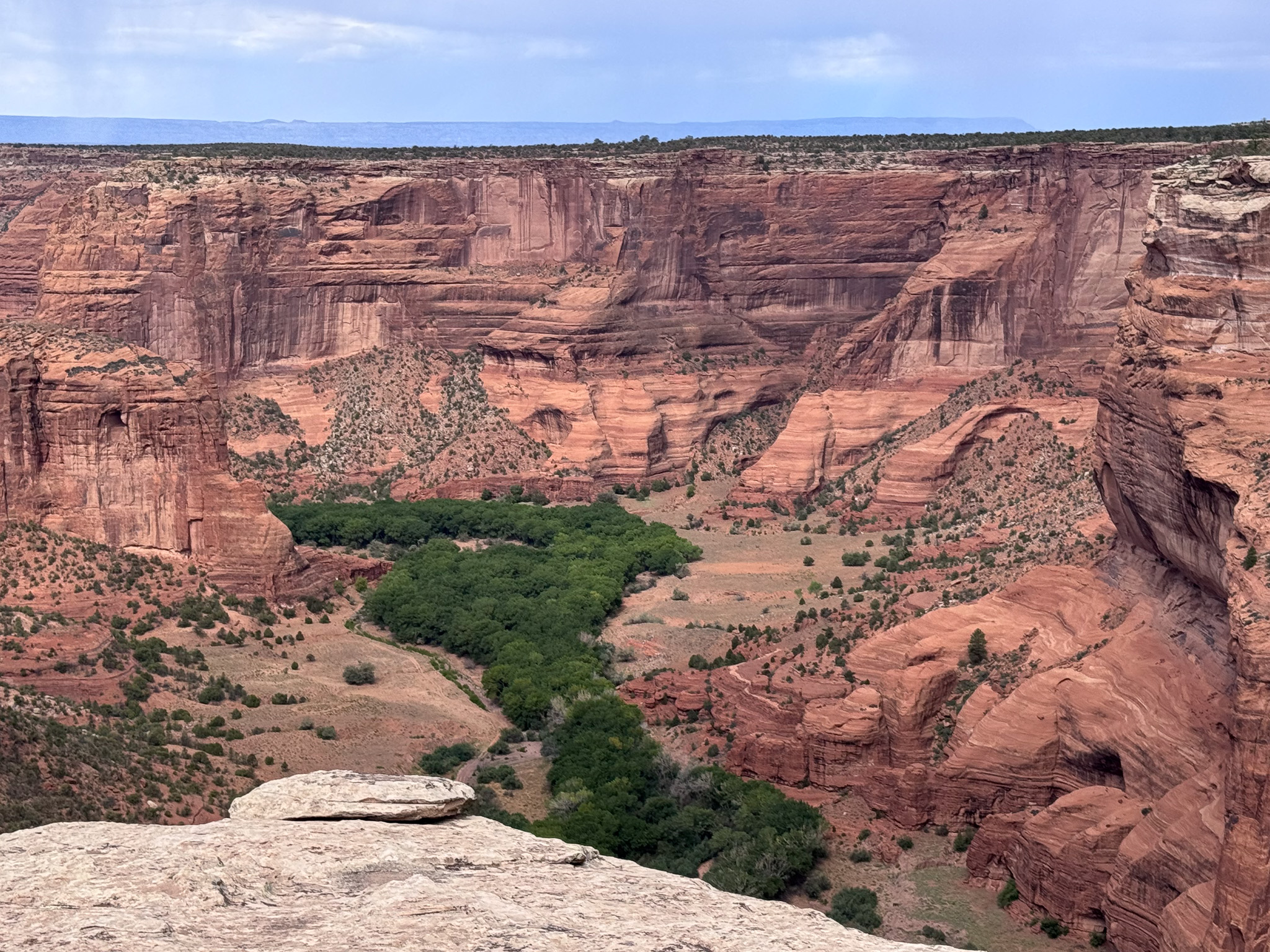
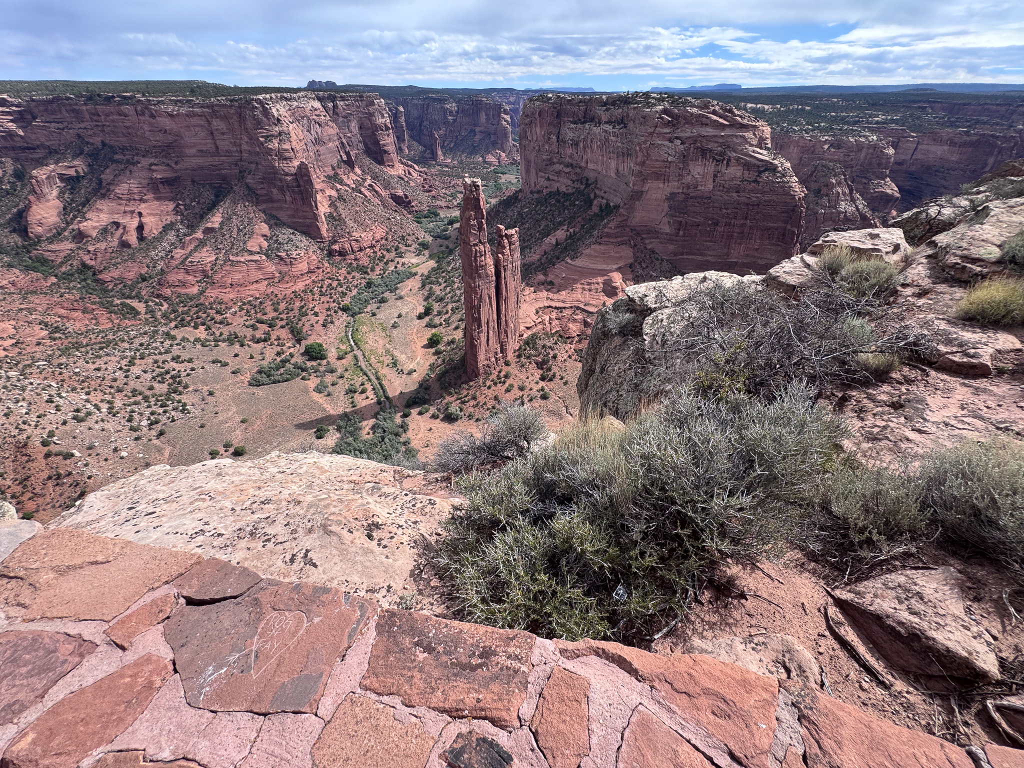
I returned to Chinle to fill up, then proceeded up the North Rim road to the Massacre Cave Overlook. The name comes from the sad story of Spanish Solidiers killing over 100 Diné taking refuge in the cave below the cliff top. Aside from its sad history, the overlook provides one of the best views of the entire Canyon.
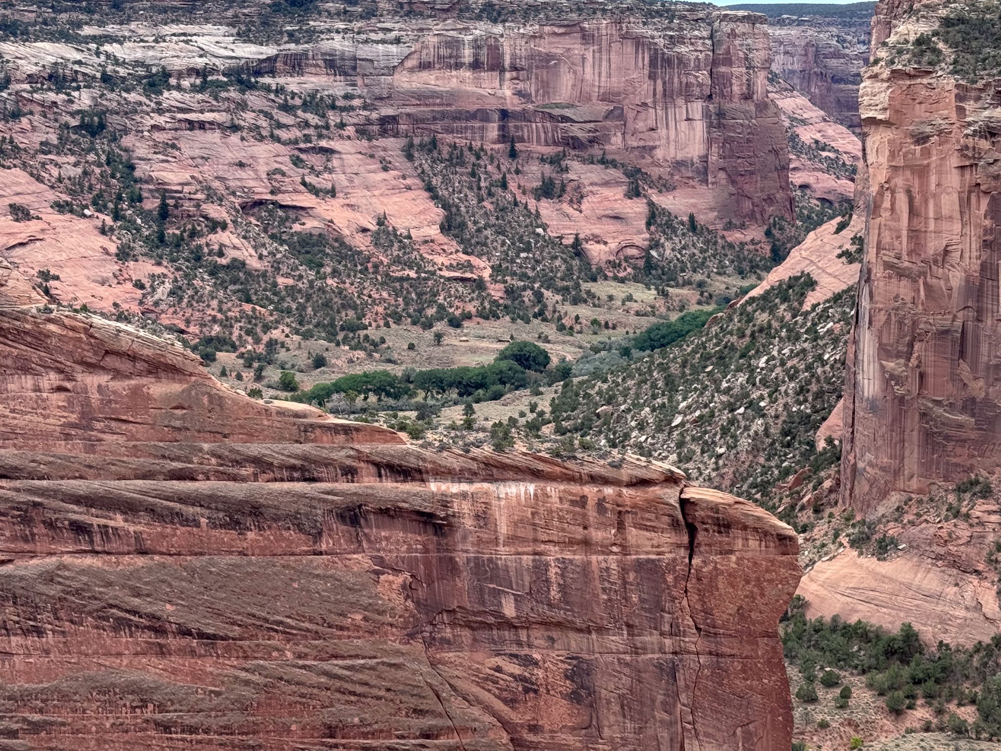
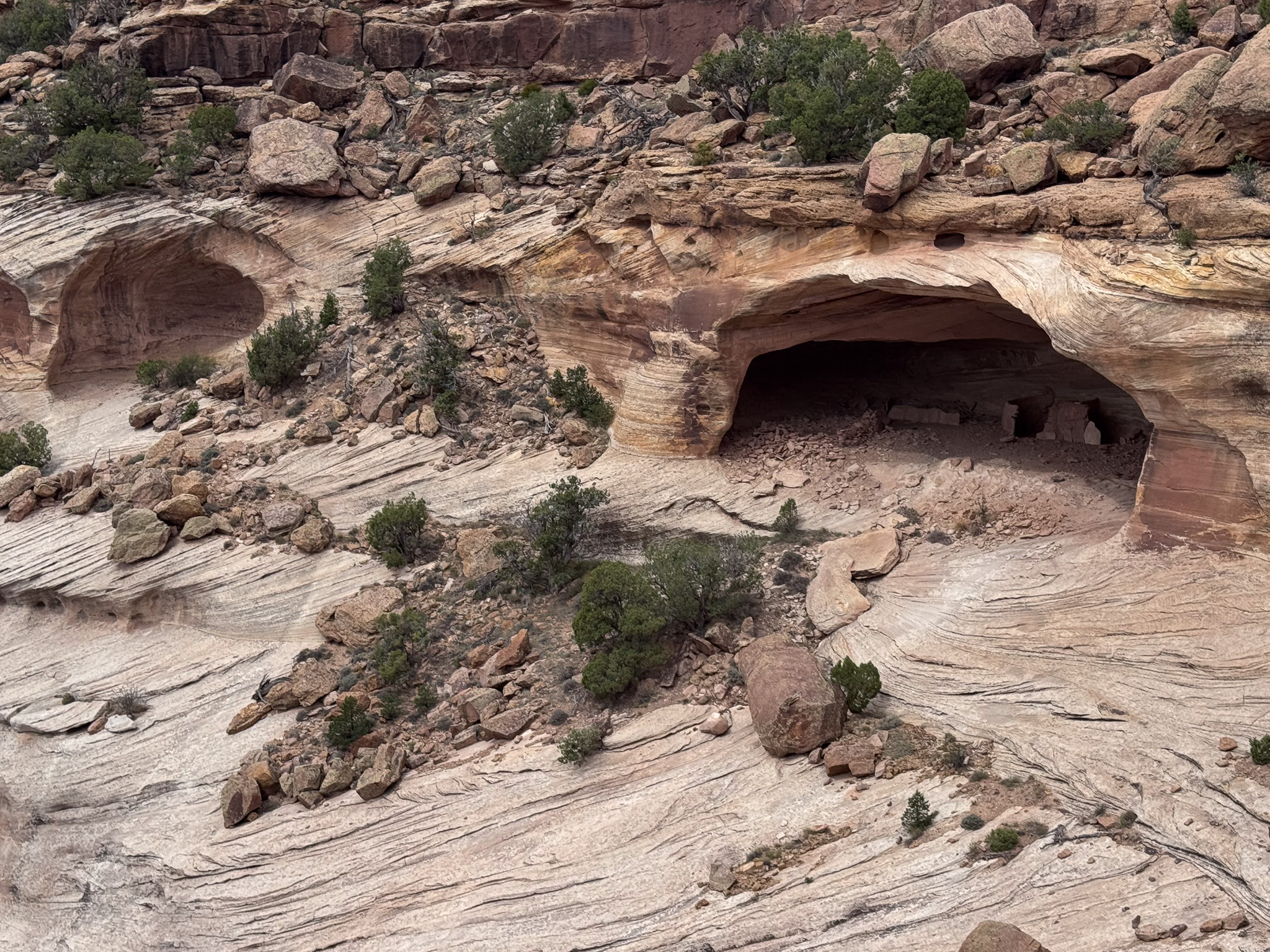
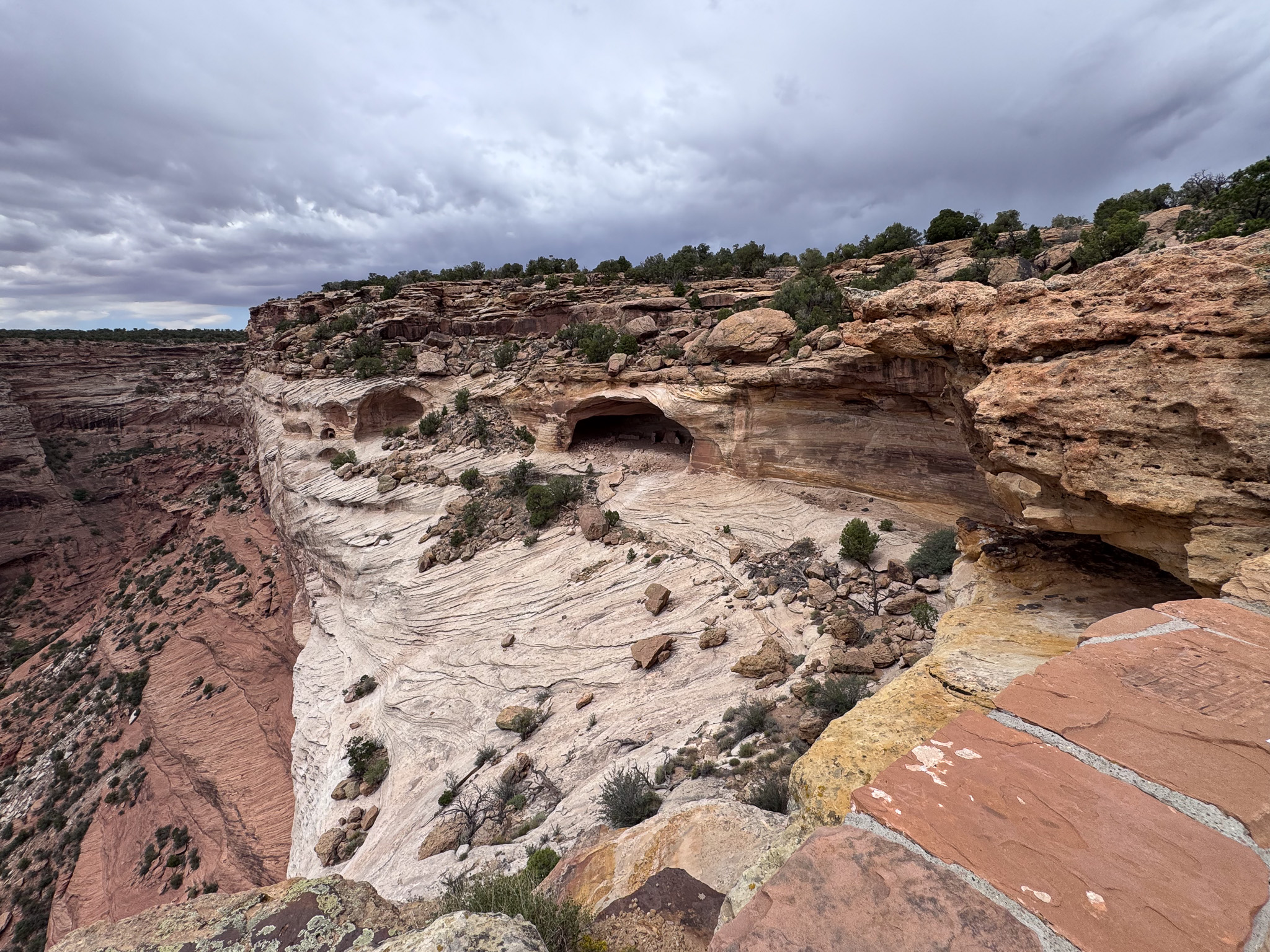
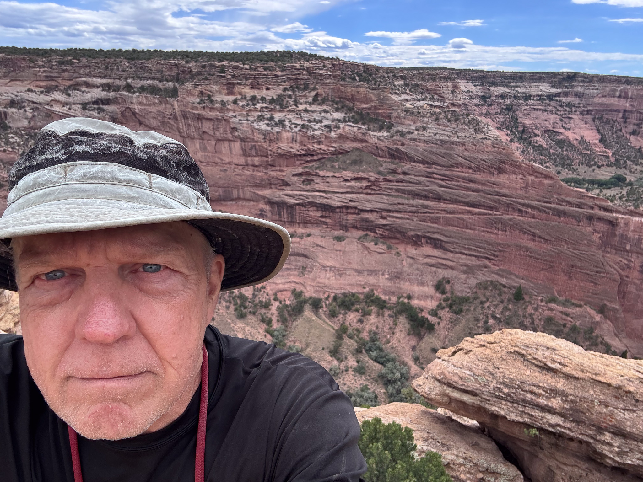
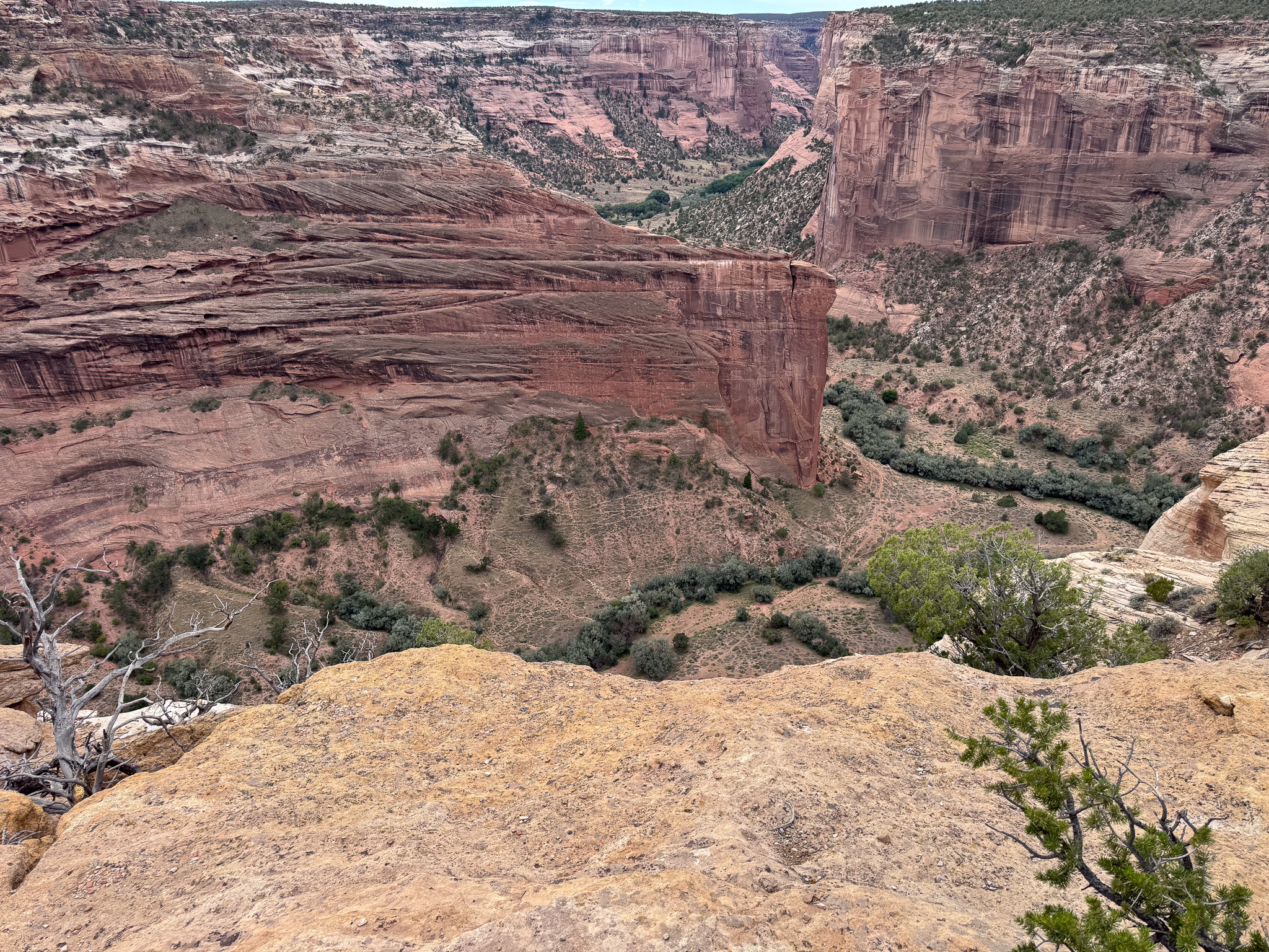
I had some snacks for lunch and started off on my next leg of the trip, to an AirBnB in Cortez, Colorado for a few days, but first I was going to take a ‘back’ route through the Four Corners area. I wanted to come in from the opposite side of the Shiprock (Tsé Bitʼaʼí) from where I had usually seen it the times I ran the Shiprock Half-Marathon. It’s on an Indian Route south of the town of Shiprock, NM, and the full marathon started in Arizona. I was going to take Indian Route 13 from Arizona to New Mexico and on up to Cortez.
That’s in part II of this trip report.
Gear:
As this was only a car camping trip, I’m not going to drill into the gear list too deeply.
- Keen Circadia Mid Waterproof Hiking Boots (size 13)
- Hubba Hubba NX (2019) tent
- REI Flash 22 day pack
- Giant Revolt 2.0 Gravel Bike
Discover more from Phil's Phieldnotes
Subscribe to get the latest posts sent to your email.