Admin | Backpacking | Big Bend | Camping | Hiking
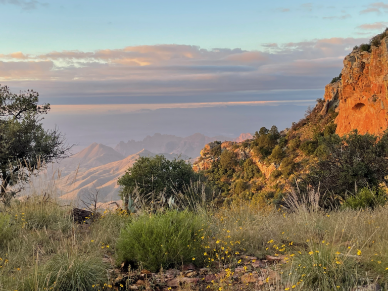
TR-BBNP Backpack Northeast Rim (and more)-October 2022
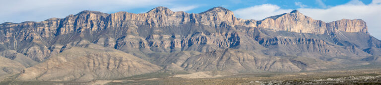
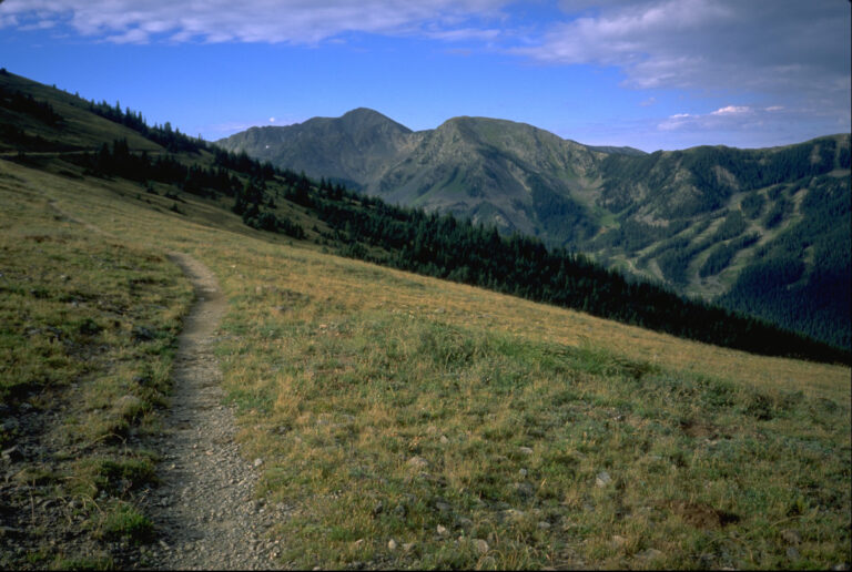
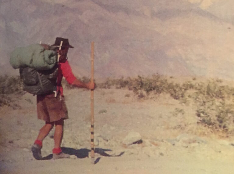
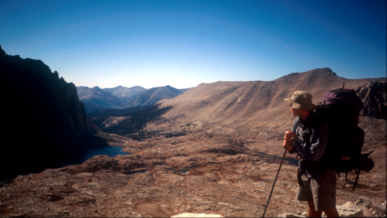
One night Seminole Canyon State Park; in Big Bend National Park two nights Cottonwood Campground, one night backpack to NE4, two nights Paint Gap 4 Gear, Lessons learned One characteristic of aging is that you can get great pleasure from revisiting experiences of your youth. Separated by decades, you forget the details of such experiences…