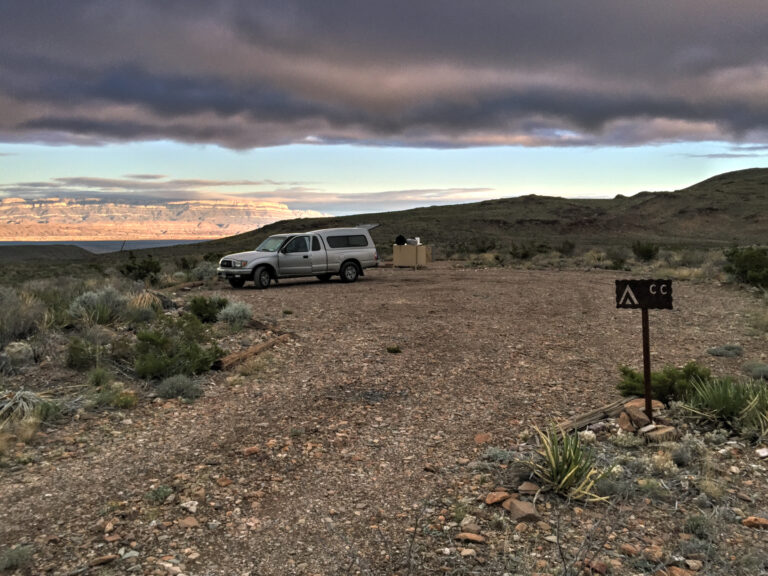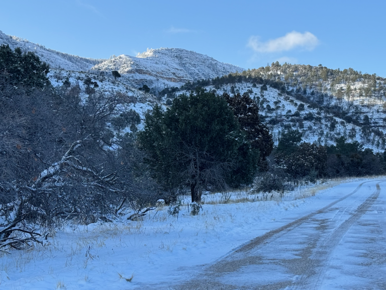
TR-Guadalupe Mountains National Park camping and (canceled) backpacking-April 2025
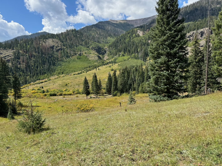
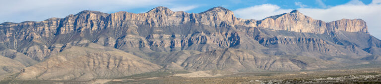
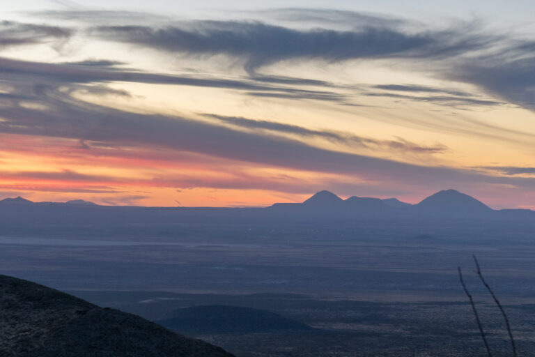
Camping and backpacking at Dog Canyon campground; heavy snow made the backpacking impossible Gear, Lessons learned Trip Report Planning This trip was supposed to go something like this: camp at Dog Canyon campground in Guadalupe Mountains National Park (GUMO) then a long day hike followed by a rest and packing day, then an overnight backpack…