TR-Guadalupe Mountains NP camping-December 2024
- Guadalupe Mountains National Park 12/2/24-12/5/24
- Guadalupe Peak horse trail 12/2/24
- Frijole-Smith Springs loop 12/3/24
- Tejas Trail -> Trail jct. 12/4/24
Gear, Lessons learned
Trip Report
Leaving
So leaving town on the first was quite a day. As I was leaving Austin my truck started overheating. Long story short—I got back home, took a Lyft to the Village (my mother’s retirement place, where I keep our family Odyssey), got the Odyssey, transferred all my camping gear from my truck to it, and got back on my way. I’m lucky this will be at a developed campground and not one on long unpaved roads. I’m also fortunate I’d broken this trip into two short drives, and already had a motel booked in Ozona. Even with the delay I’d still have plenty of time.
Arriving
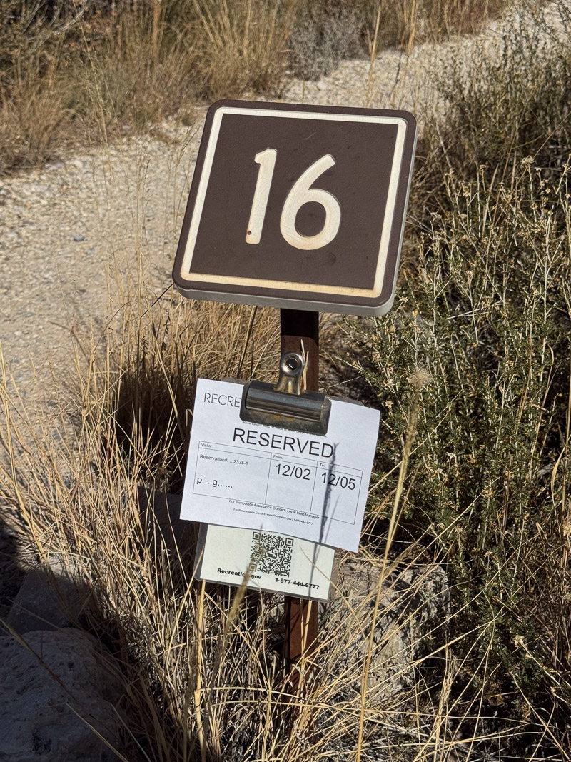
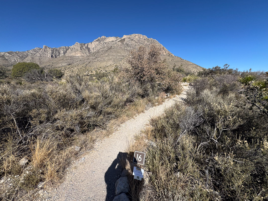
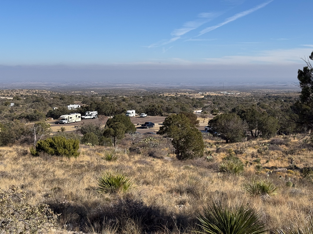
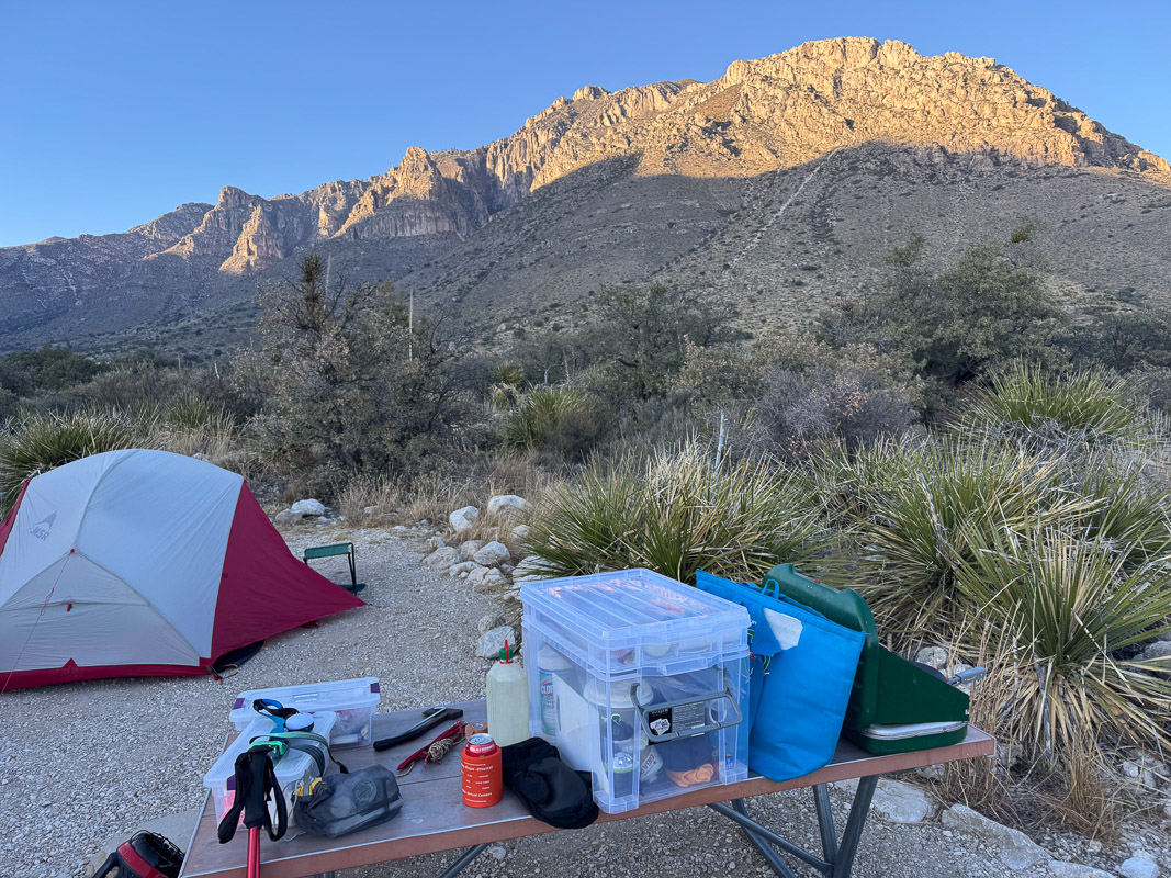
I got to the park Noon-ish Monday. Went to my site, #16, confirmed it had my name on it, and started setting up. I spent some extra time securing the tent because I’d seen numerous warnings of impending wind events. The campground wasn’t that crowded and I suspected some people might have been wary of camping in the high winds.
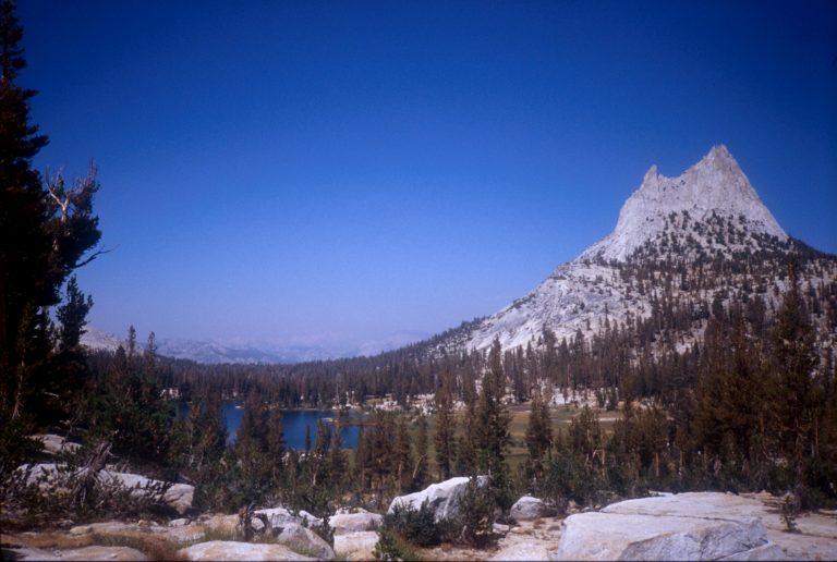
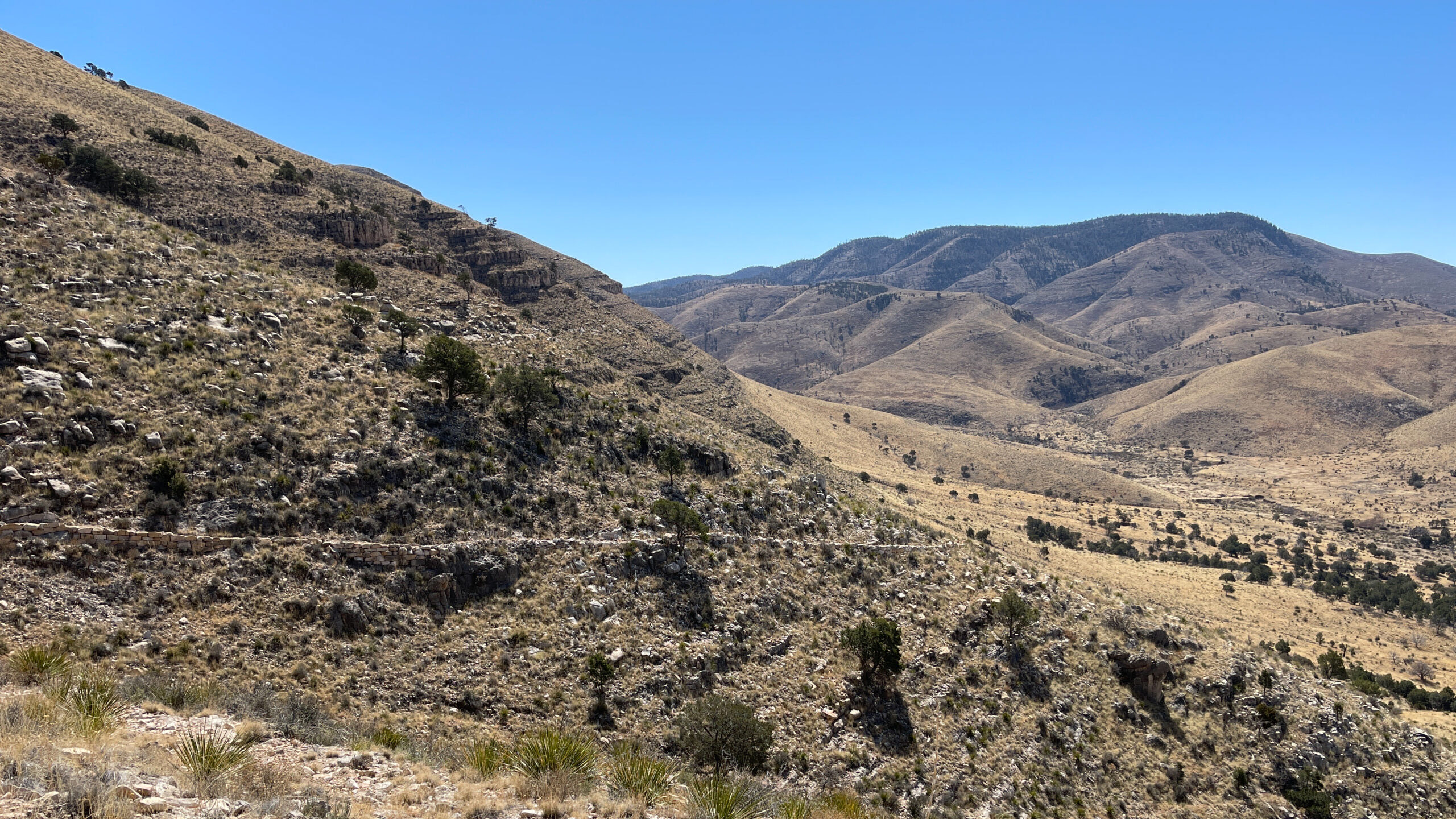
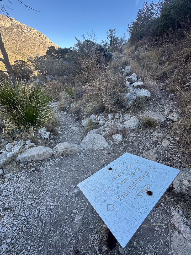
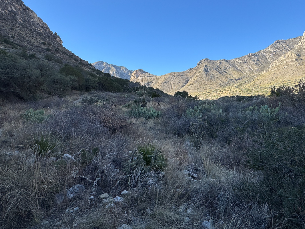
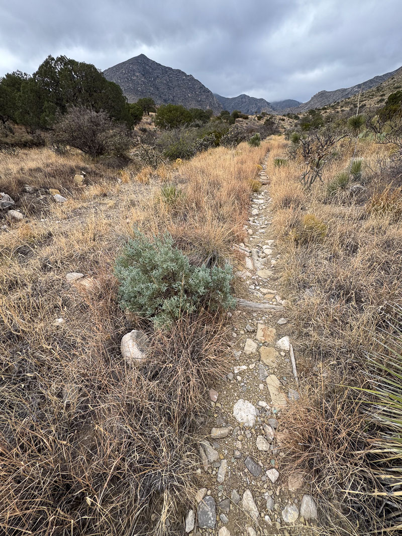
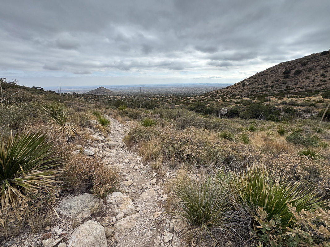
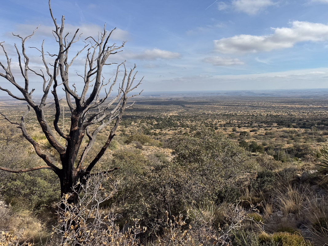
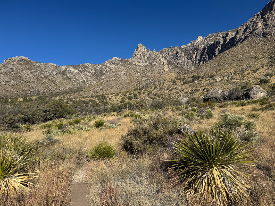
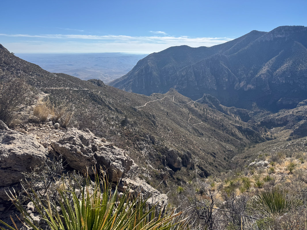
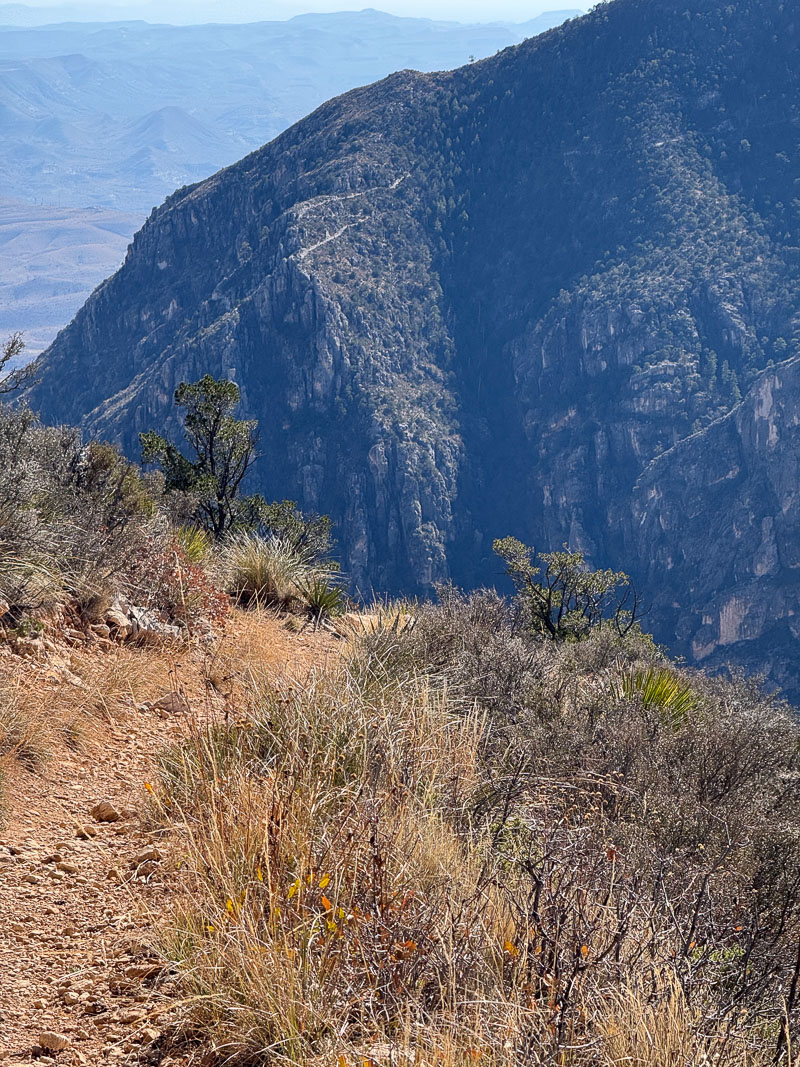
I had plenty of time left in the day, even though it was around the shortest daylight days of the year. I decided to get a little hike in. I chose to go up the Guadalupe Peak “Horse” trail, as I’d never been on that one that I could recall. It’s an alternate start to the main Guadalupe Peak summit trail, more gentle, a bit longer, and avoids some rough stretches horses would have difficulty with. (I later realized that the first half of the trail is also the Devil’s Hall trail, one which I’ve been on a few times.)
It was a very pleasant little hike, just a mile or so out–I don’t think I went far past the trail split where one arm goes on up to Devil’s Hall. It was dead calm, great weather, and I didn’t see a soul the whole way.
Although it wasn’t late when I got back to camp, the sun was about to set very early; not only because winter was only a couple of weeks away, but because the mountain/canyon wall to the west created a very early dusk. The feared winds were absent; it was dead calm. I cooked a couple of brats, had a couple of beers, and thought about what I would do for the next few days.
My vague idea had been to just sort of wing it, depending on the weather, crowds, whatever. I’ve been on nearly every inch of trail in the park since my first visit in 1985, but there were a few I hadn’t done. One was Bear Canyon; a very steep alternate route to the top of the escarpment. I’d started it once about twenty years ago and had gotten very near the top but my knee started to bother me and I retreated. Also, although I’ve been to the park numerous times over the years I had not been to this side of the Balcones Escarpment (the Hunter/Bush side) except for Guadalupe Peak and the southern side, since the 1980s.
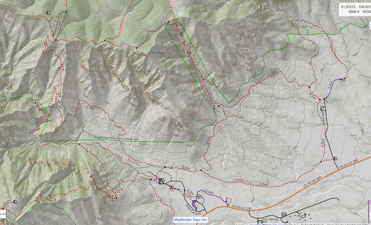
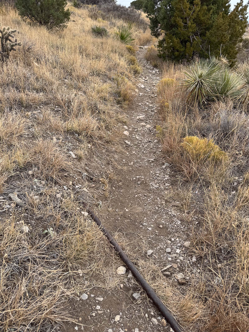
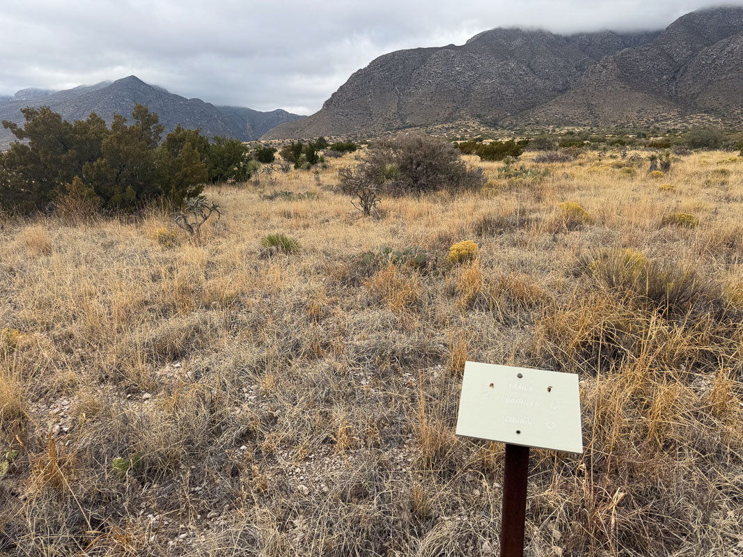
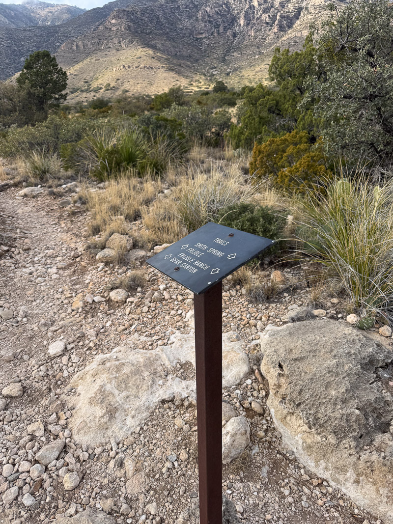
I decided to try Bear Canyon again. A potential problem was the short days–I didn’t want to get caught short of daylight if I had a sore knee while descending. I figured I’d give it a go; if I really made good time maybe even explore the Bowl again, and even try for a loop, descending the Tejas trail–a much gentler descent. At a minimum that loop would be 8.6 miles, with about half steeply uphill and probably slow going. I figured I’d give it a shot Wednesday, and for Tuesday I’d maybe try the Foothills-Smith Springs-Frijole loop. Part of this didn’t exist when I first came out to the park, so I looked forward to it.
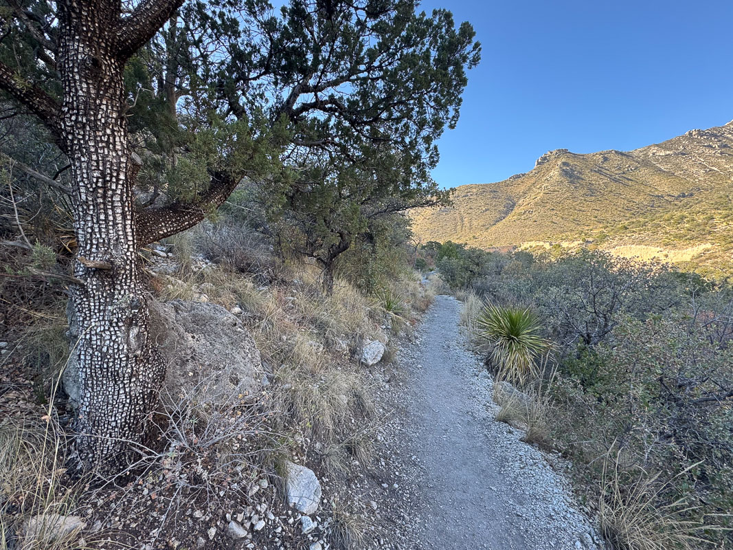
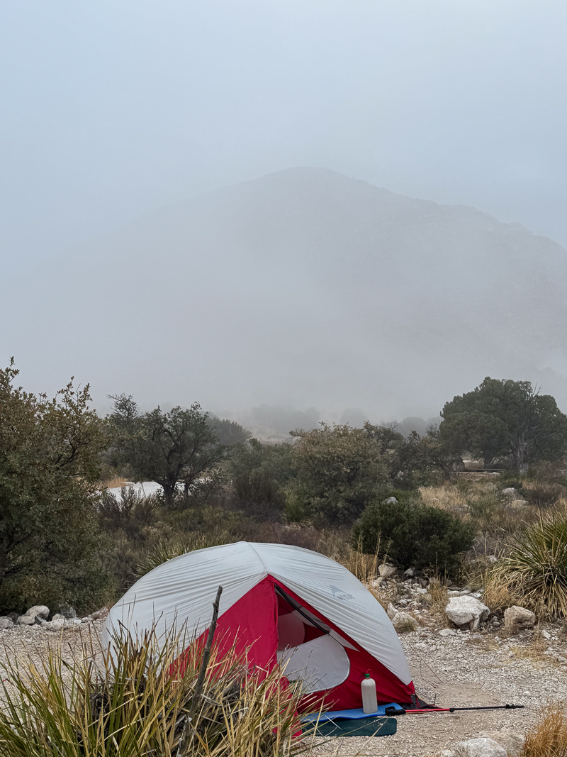
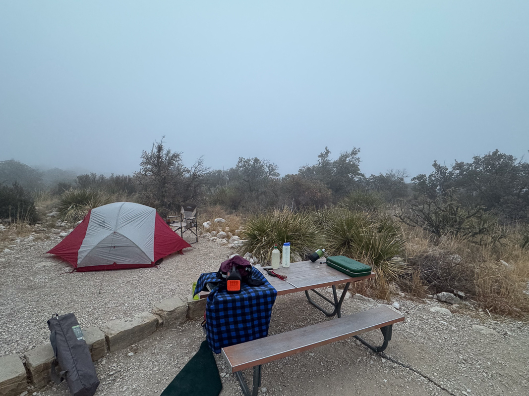
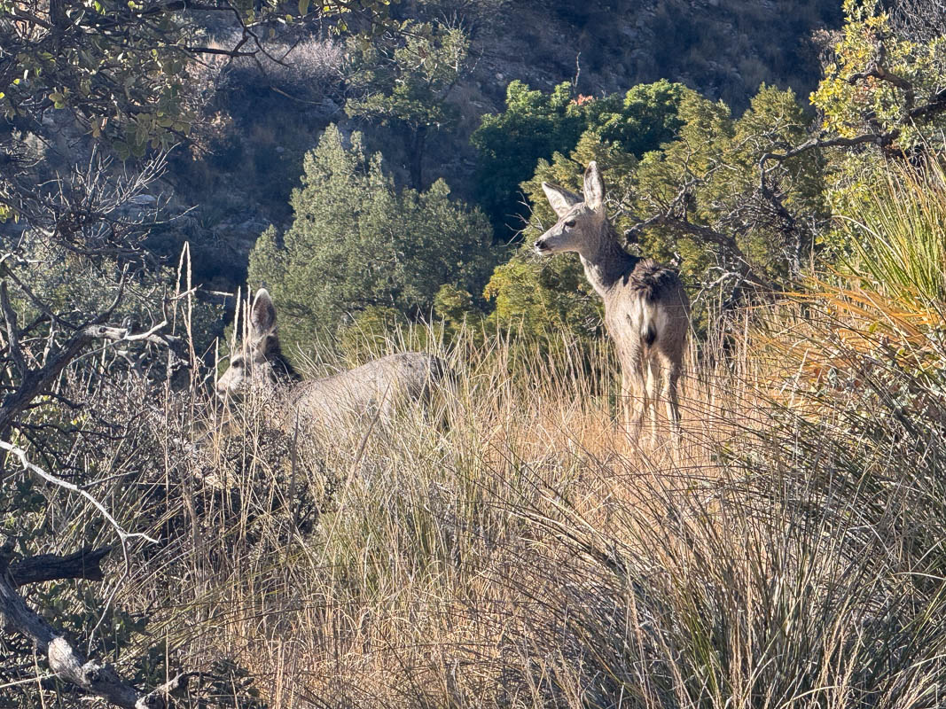
Tuesday morning I could tell the clouds had descended all the way down to ground level and socked the campground in. I took my time, having breakfast, enjoying watching the clouds lift, and got started pretty late. The Foothills trail, as I said, wasn’t around in my earliest visits to the park; it runs from the campground along lower elevations to what used to be the park headquarters (now a picnic area) and then to Frijole ranch house, an interesting time capsule of local life about a hundred years ago. There is virtually no elevation change for the first few miles to the ranch house. I enjoyed this section, paying attention to the geology and the plants. Didn’t see much sign of wildlife save for a couple of mule deer.
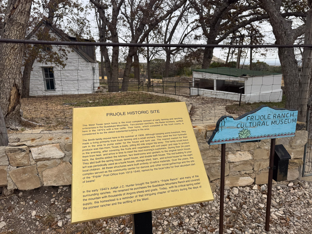
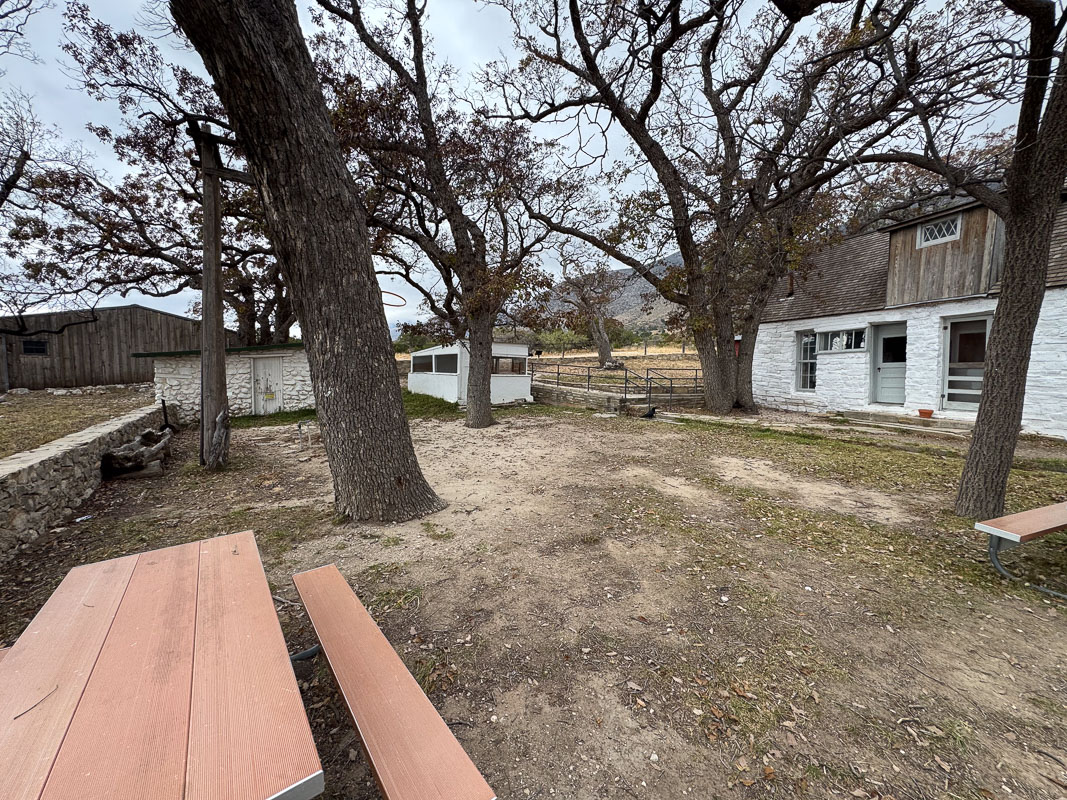
I spent some time at the ranch house; it was closed, but you could see in the windows, read the signs on the displays. I found it very interesting–the spring itself is housed in a pump house the size of a small home. I vaguely recall possibly coming by here some forty years ago but not spending much time.
Beyond the house, the trail is actually paved for a few hundred yards. I passed a couple with their infant as I got to Manzanita spring tank, looked for wildlife there for a while, and continued on. The clouds had been lifting from the log fog to a high overcast by this time.
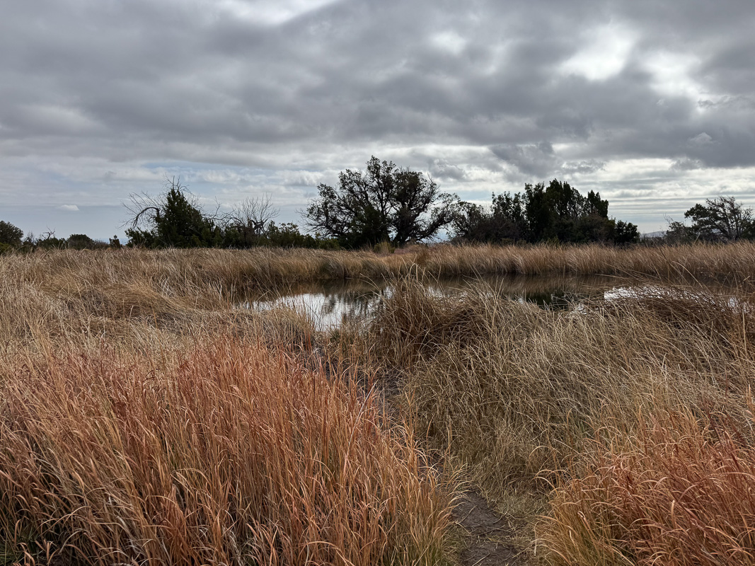
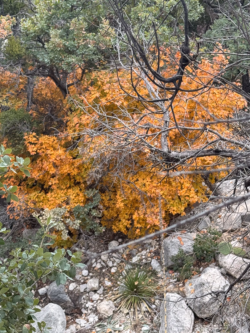
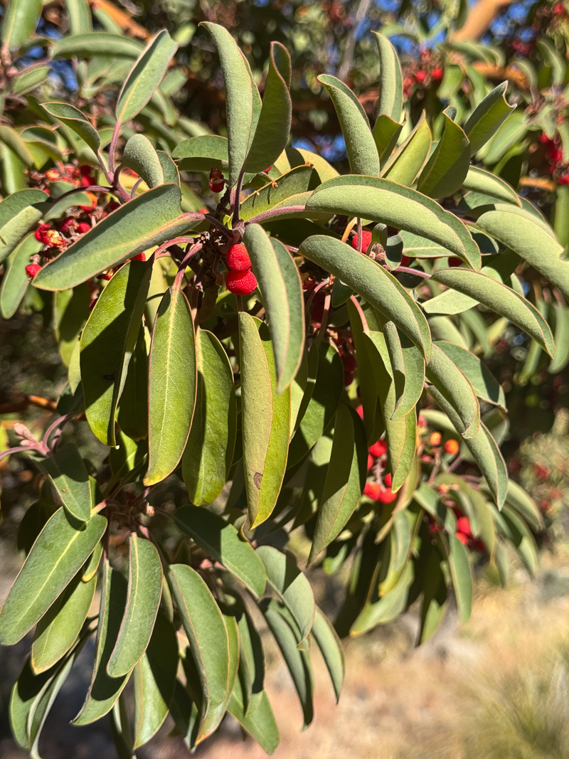
The trail begins ascending here, along the southwest side of Smith Canyon. There are more and more juniper, oak, and other trees and the trail frequently winds along the precipitous edge of the canyon. Looking ahead, I see late season vestiges of color among the trees nearest the spring.
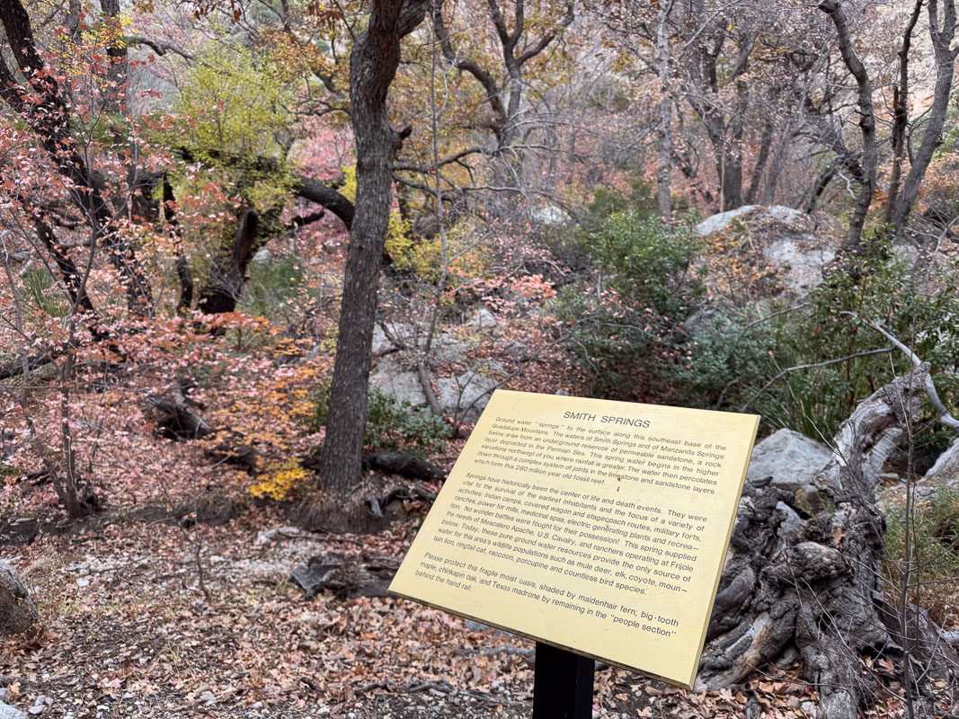
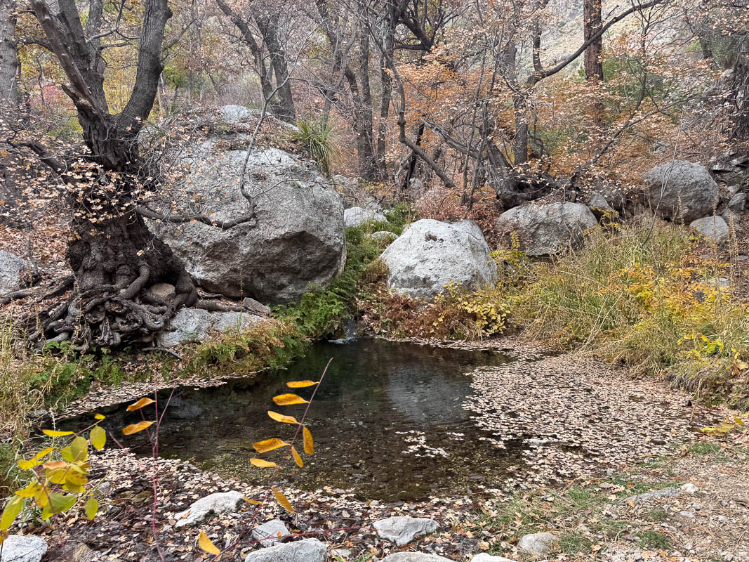
At Smith spring, it’s a drastic change from the low lands below. Running water, complete tree canopy, and even this far past peak, abundant color in the deciduous trees. There’s a sign, and a guardrail, and a nice resting spot at the pool where I enjoy a pause.
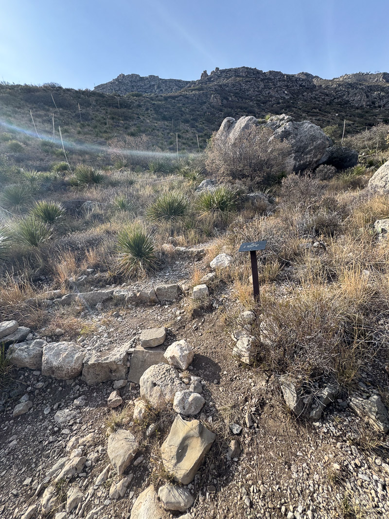
Returning from Smith Spring the trail descends then meets a trail junction to a short connecting trail back to the Frijole Ranch house. From here on back to the campground it becomes the “Frijole trail.” It’s about 500′ higher than the Foothills trail on the way out, and it hugs the bottom of the escarpment all the way. There’s some elevation gain, some elevation gained and lost, and some rugged spots in the trail compared to Foothills. I make a mental note of where the Bear Canyon trail junction is, and head up that way briefly. It turns steep and rugged fairly quickly.
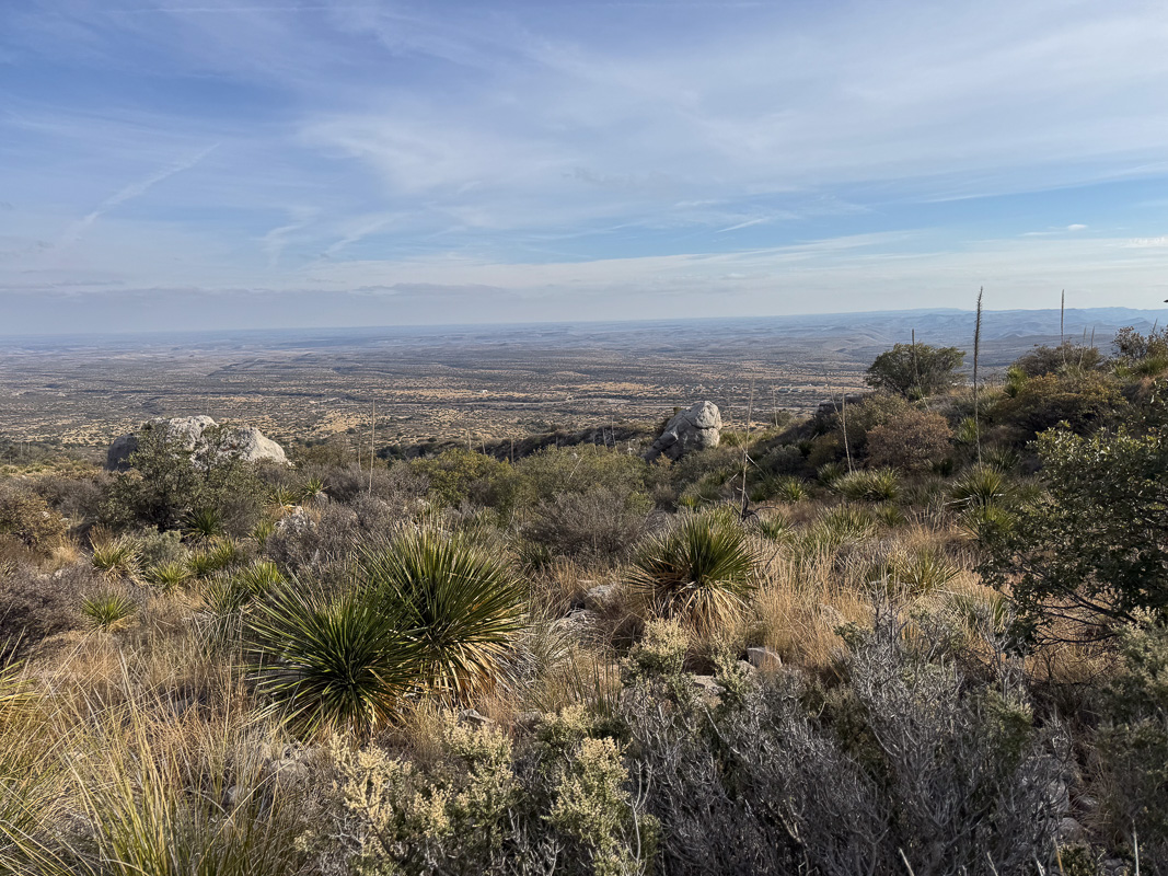
By this time the overcast has broken completely and it’s getting a bit warm. There are expansive views back to the east. I head back to the camp site and call it a day.
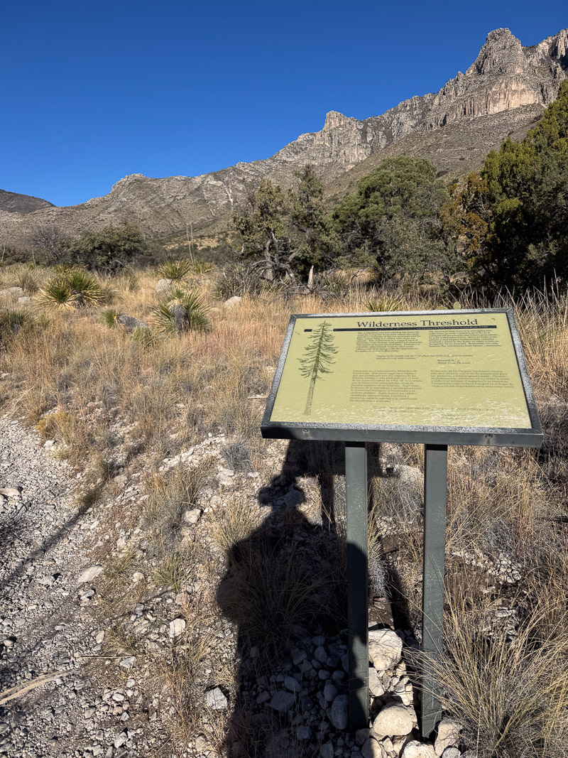
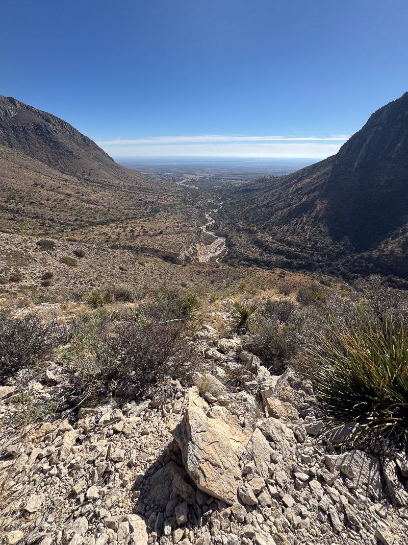
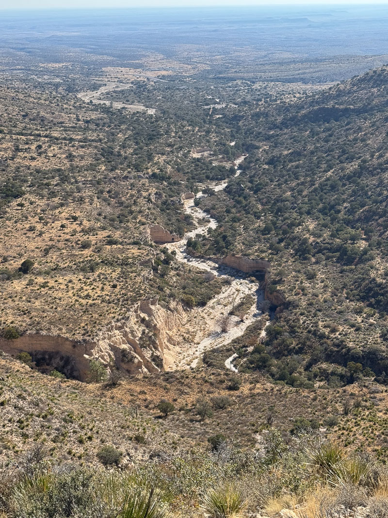
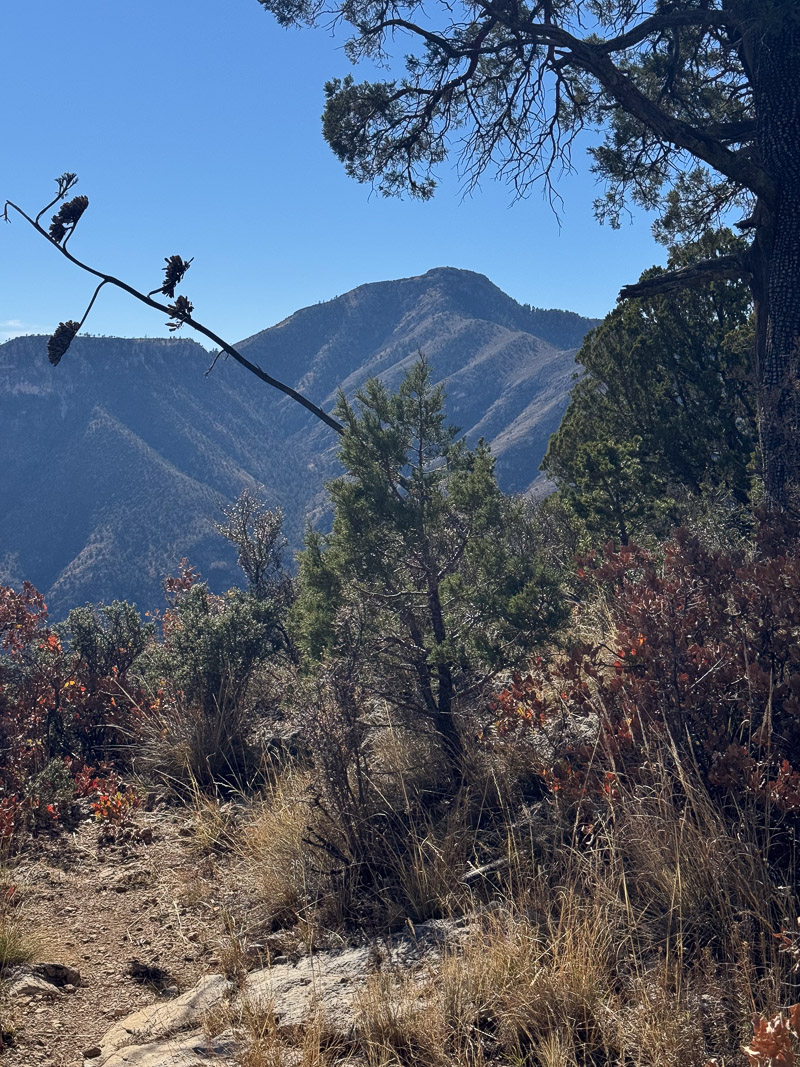
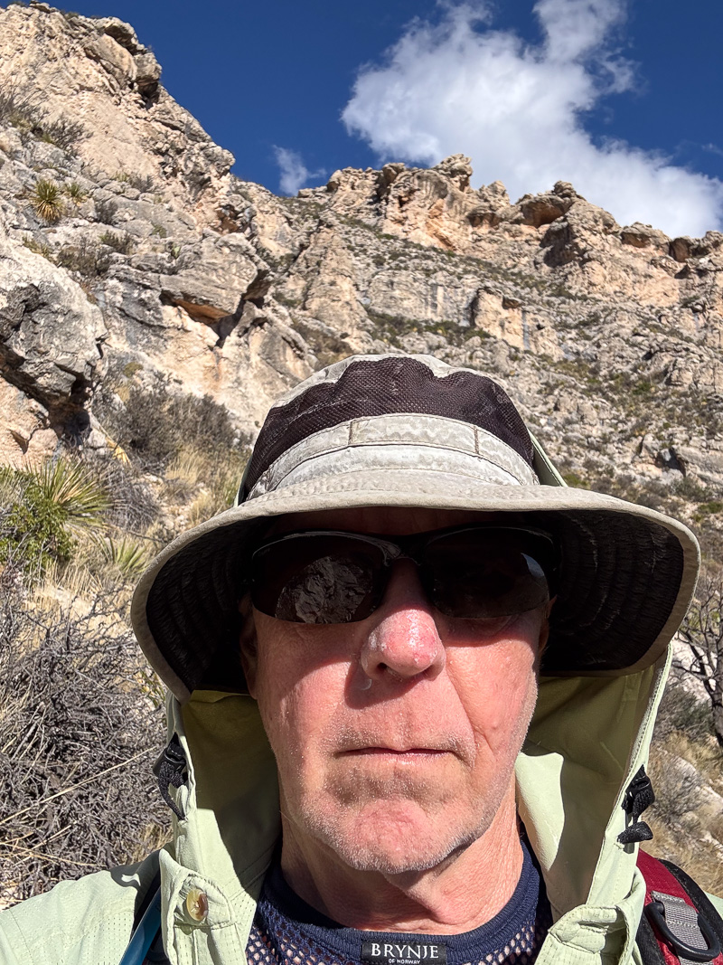
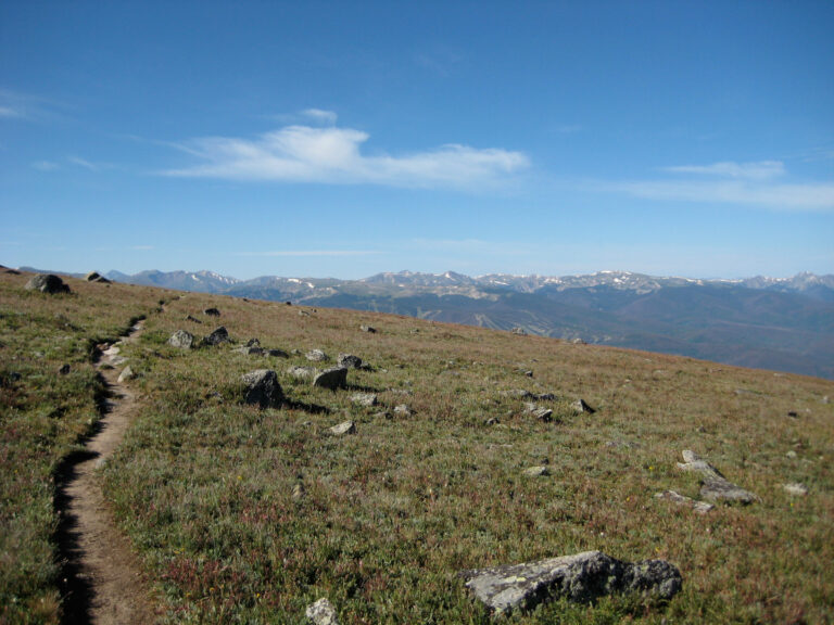
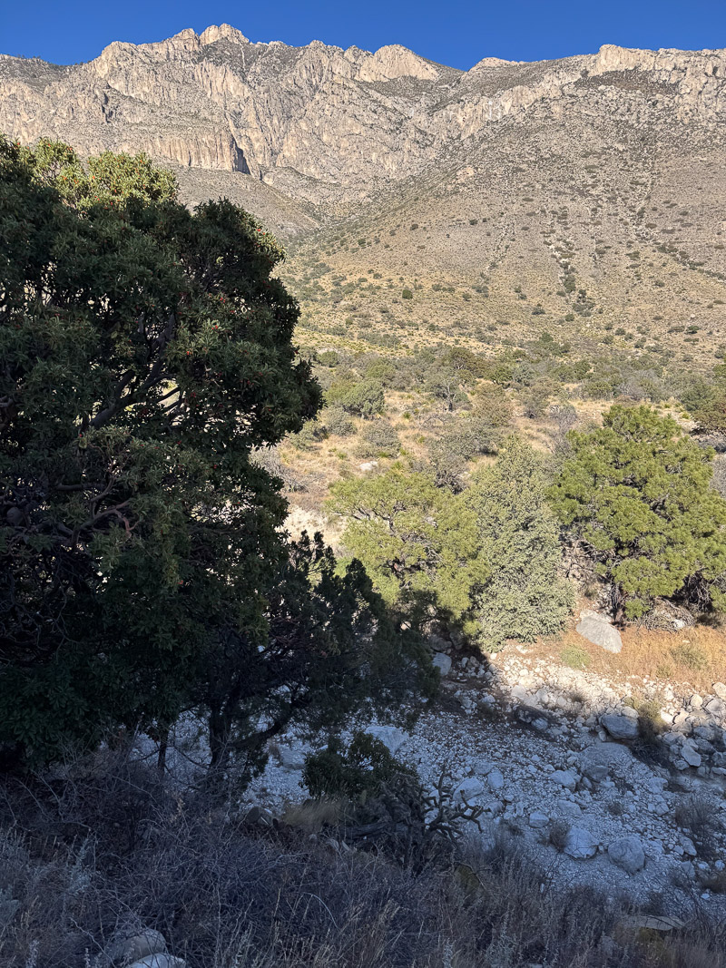
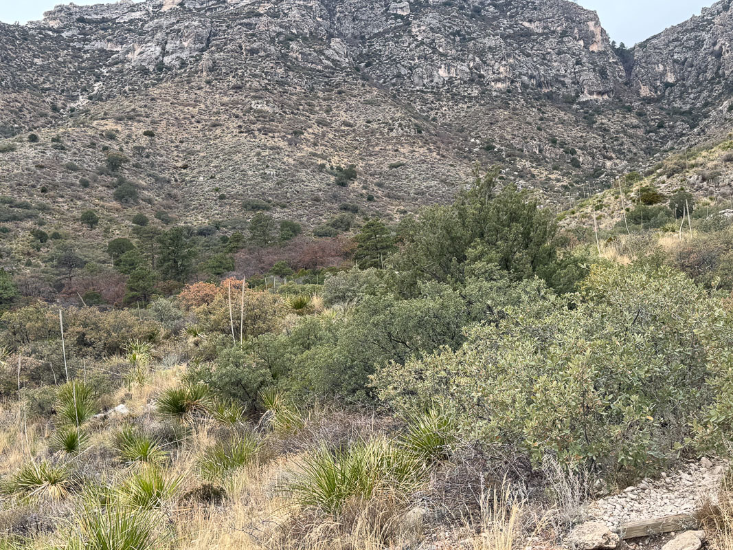
The next morning I got a slightly earlier start, probably before 9:00 AM. I enjoyed (mostly) the entire hike up to the top of the canyon; a hike I hadn’t done since 1986. I was curious to see how long it took and how difficult it seemed; it seemed really damned difficult in ’86 when I packed 70+lbs. up there. In 2024 I found it not too difficult. I made good time, didn’t rush. The weather was perfect (the high winds forecast for this week would never materialize), and I was only carrying a liter or two of water. Once I reached the top I had a powerful sense of deja vu, recalling my 1986 hikes. I took a break, snapped some pics, and greeted a couple headed down the trail–the only people I’d see the entire hike. The trip down was uneventful; the sun began to beat down and I was glad I had a wide brimmed hat and a hoodie.
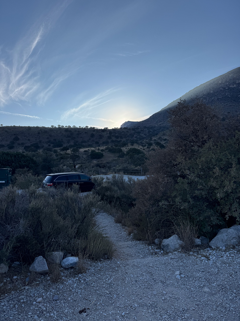
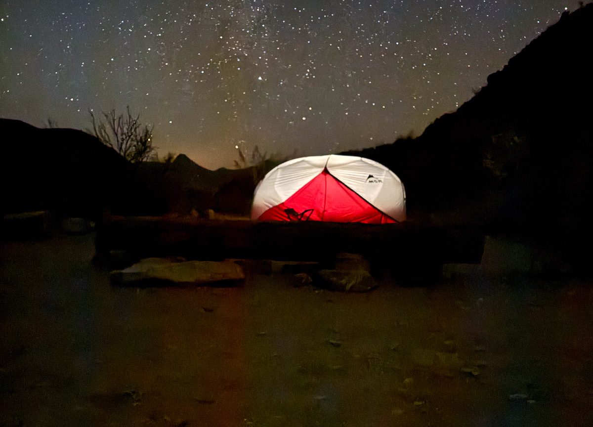
That night I messed around a bit taking night photos with my iPhone.
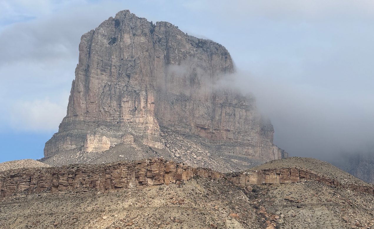
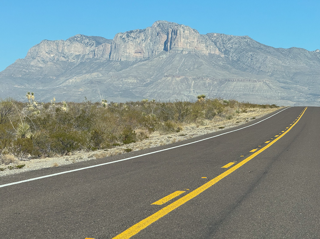
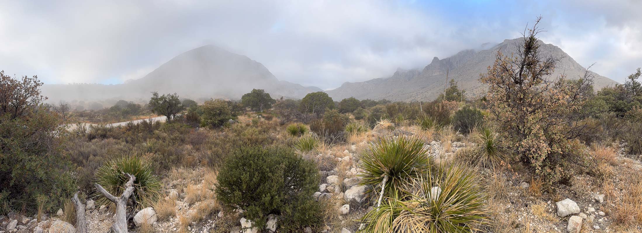
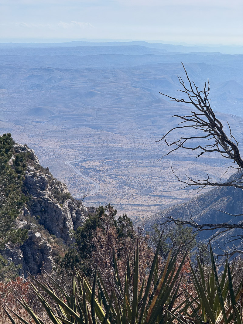
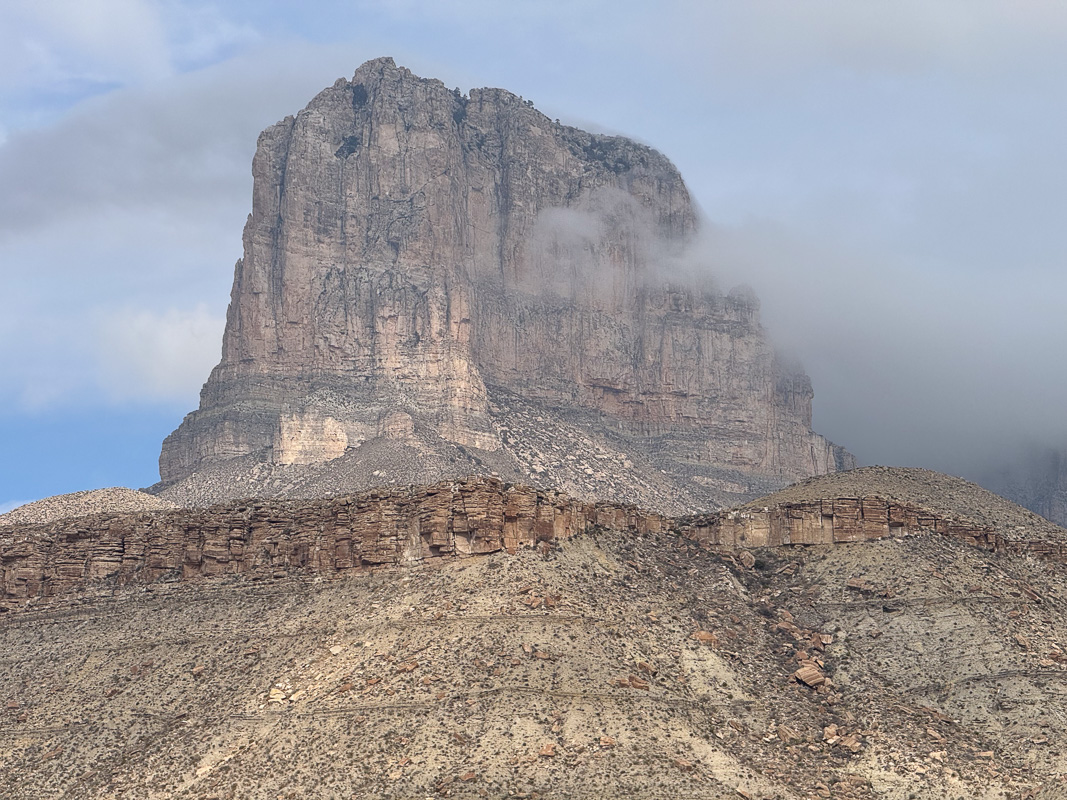
The next morning, clouds rolled in again. I packed up the Odyssey and stopped by the headquarters for souvenirs on the way out. As I departed the park I stopped at the roadside viewing area and took a few photos of El Capitan; and now the winds forecasted all week finally hit. I managed a few photos in the howling wind and headed on home.
Gear:
- day pack
- Keen Circadia Mid Waterproof Hiking Boots (size 13)
- MSR Hubba Hubba NX (2019) tent
- Jollygear Triple Crown Button Down Long Sleeve | Evergreen UL
- Brynje Unisex Super Thermo T-Shirt Base Layer with Inlay – Navy, XL
Lessons learned:
- The Foothills trail is a nice addition to potential hikes from Pine Springs campground.
- Smith Spring may have color as good as McKittrick Canyon
Discover more from Phil's Phieldnotes
Subscribe to get the latest posts sent to your email.