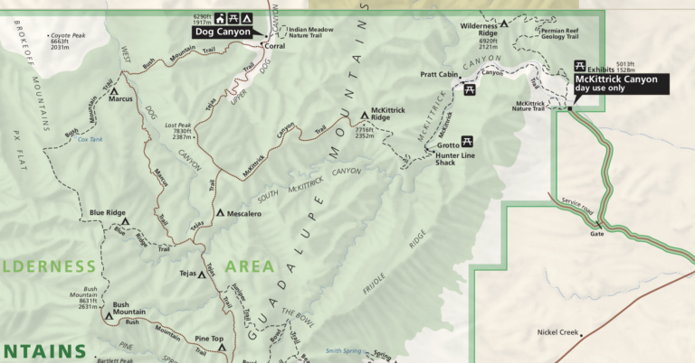
TR-Guadalupe Peak February 2000
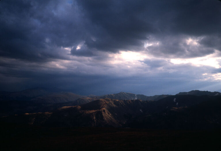
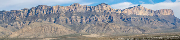
This is mostly a stub, holding a spot for a more complete trip report later. I don’t have all the photos from that trip digitized yet but am in the process of doing so. After two previous hikes up to the summit of Texas’ highest point, I realized that the spectacular vista from the top…