Admin | Backpacking | Camping | Essays | To-Do | Trip Reports
-
-
Admin | Backpacking | Big Bend | Camping | Hiking
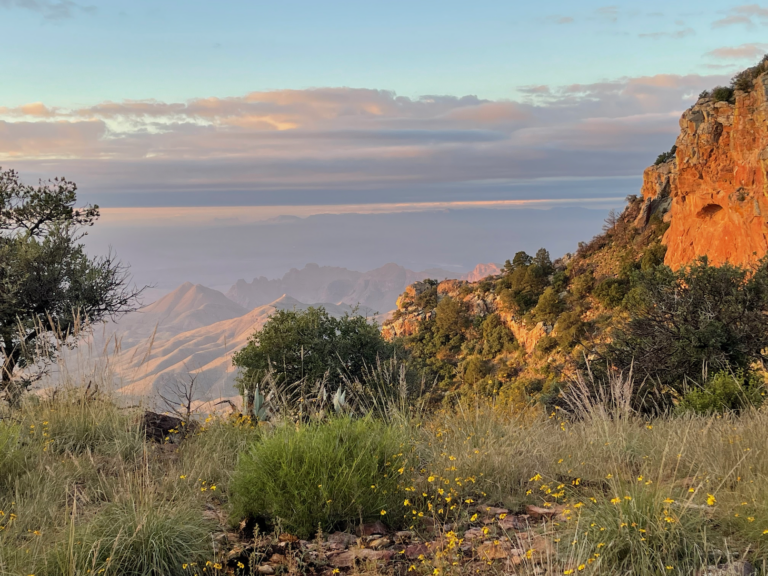
TR-BBNP Backpack Northeast Rim (and more)-October 2022
One night Seminole Canyon State Park; in Big Bend National Park two nights Cottonwood Campground, one night backpack to NE4, two nights Paint Gap 4 Gear, Lessons learned One characteristic of aging is that you can get great pleasure from revisiting experiences of your youth. Separated by decades, you forget the details of such experiences…
-
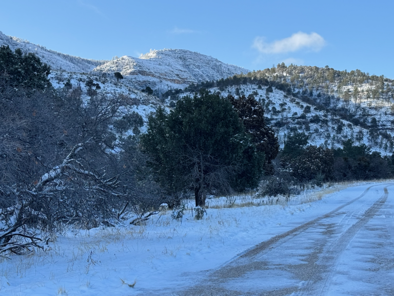
TR-Guadalupe Mountains National Park camping and (canceled) backpacking-April 2025
Camping and backpacking at Dog Canyon campground; heavy snow made the backpacking impossible Gear, Lessons learned Trip Report Planning This trip was supposed to go something like this: camp at Dog Canyon campground in Guadalupe Mountains National Park (GUMO) then a long day hike followed by a rest and packing day, then an overnight backpack…
-
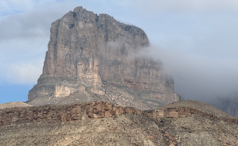
TR-Guadalupe Mountains NP camping-December 2024
Gear, Lessons learned Trip Report
-
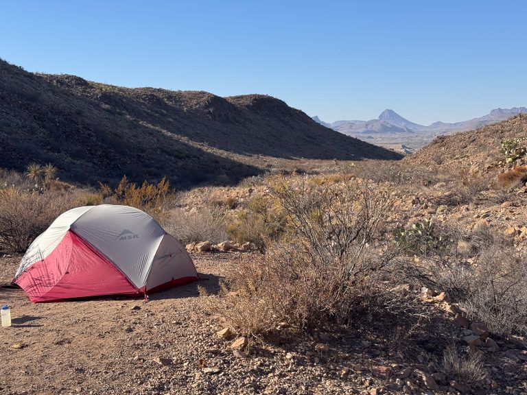
TR- BBNP, BBRSP (partially canceled)-January 2025
This was planned for a couple of days a Paint Gap 3, then on to Big Bend Ranch State Park/Fresno Vista, for three more days. Gear Trip Report Not much to report here; I’d booked two nights at Paint Gap 3 (formerly Paint Gap 4, note the name change) to be followed by three more…
-
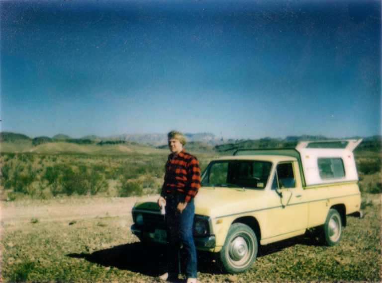
TR-Big Bend NP December, 1977
A trip to Big Bend National Park with a high school friend back in my teenage days Gear, Lessons learned Trip Report Planning In late 1977–probably during semester break in December–my high school friend and baseball teammate Kelly and I took a camping trip to Big Bend National Park. I write this almost fifty years…
-
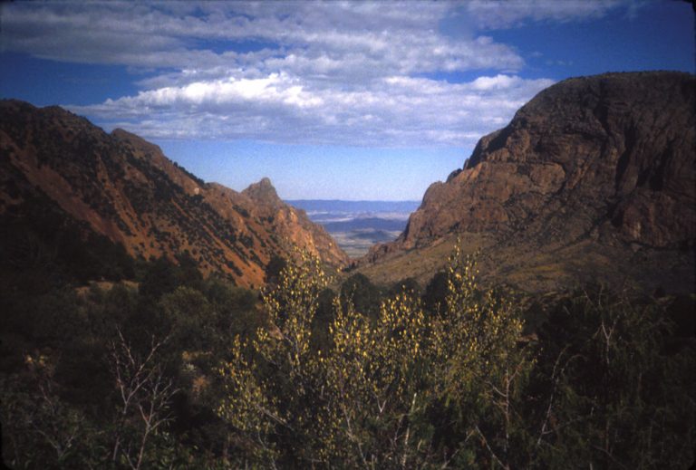
TR-Big Bend NP-April 1985
First solo trip west; Big Bend National Park, Guadalupe Mountains National Park, Carlsbad Caverns National Park, Lubbock A note about some of the photos here–I scanned many of these slides thirty years ago when I had to squeeze them onto floppy disks, so their resolution is poor. Gear, Lessons learned Trip Report Planning Some of…
-
Admin | Backpacking | Camping | Colorado | Trip Reports
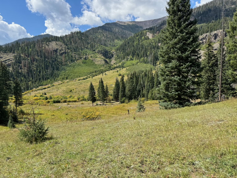
TR-Backpack-Colorado-Weminuche-September 2024
Backpacking in Weminuche Wilderness, then AirBnB in Cortez, CO Gear, Lessons learned Trip Report Planning I decided I wanted to revisit a couple of backpacking trips I’d made years ago, partly because a lot of my earlier trip had been obscured by clouds and fog, and partly just to get out to a not too…