TR-Big Bend NP-April 1985
First solo trip west; Big Bend National Park, Guadalupe Mountains National Park, Carlsbad Caverns National Park, Lubbock
- 4/18/85-4/21/85 Big Bend NP
- 4/18 Depart Austin 12: 25 a.m.
- 4/18 Arrive BBNP ca. noon.
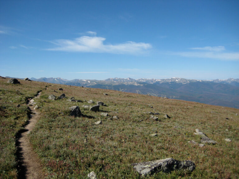
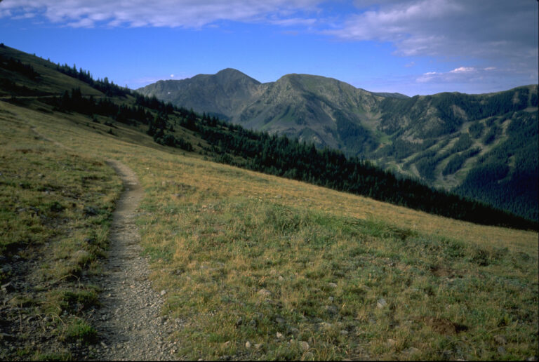
- 4/18 Lost Mine Peak trail
- 4/19-Chimneys trail
- 4/20-Emory Peak summit
- 4/21-Window trail, Hot Springs
- 4/21-4/24 Guadalupe Mountains NP (separate post)
A note about some of the photos here–I scanned many of these slides thirty years ago when I had to squeeze them onto floppy disks, so their resolution is poor.
Gear, Lessons learned
Trip Report
Planning
Some of this is duplicated in the following post (Guadalupe Mountains)
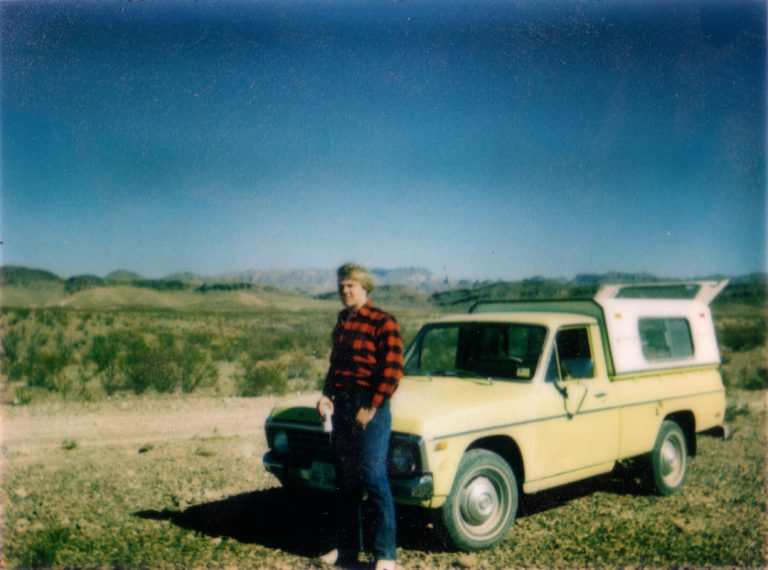
I was twenty-six years old, still in the middle of my offshore oilfield career. I had read the old “Trails of the Guadalupes” guide, published by the Carlsbad Caverns Natural History Association, backwards and forwards while working on out in the Gulf of Mexico and had decided I needed to go see Guadalupe Mountains National Park (GUMO) and climb the highest mountain in Texas. But I also wanted to go back to the place I first fell in love with the desert mountains, Big Bend National Park. My last trip there had been when I was still a teenager with my friend Kelly, in 1977. I had also been reading, repeatedly, the Hikers Guide to Trails of Big Bend National Park. I was working offshore at this time, but had a week off and that may explain my odd departure times.
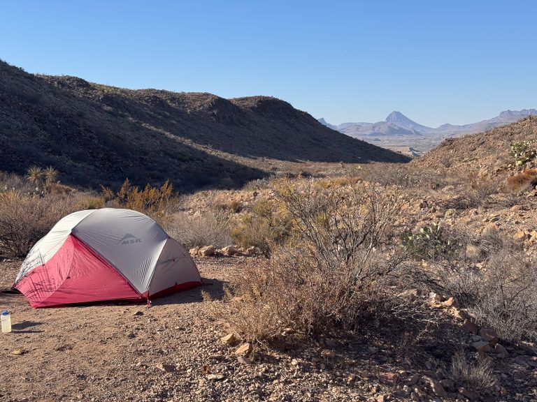
It occurs to me, some forty-plus years after the events, that I can’t recall where I slept during this trip. I used to sleep in my 1982 Toyota Supra, and also, often, on picnic tables. I suspect that’s what I did here. My notes don’t say, but my photos show that I did get to the camping loop at The Basin.
April 18, 1985-Left Austin 12:25 a.m.-Arrived Big Bend noon. Lost Mine Trail.
--notes
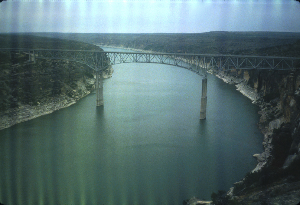
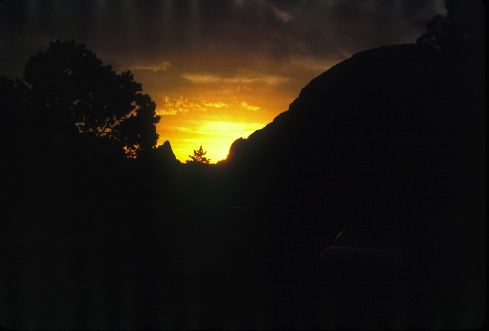
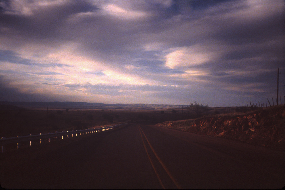
Since my time away from the oilfield was uncertain, I left around midnight. I may have pulled over to sleep somewhere, possibly the Pecos River Bridge overlook. As you can see by the photos, the first roll of slide film I shot in my borrowed Nikon pocket 35mm camera was severely affected by light damage.
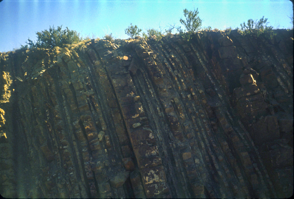
I had to pull over and snap a photo of the “famous” tilted beds near Marathon. They are often featured in Geology texts as an example of, well, tilted beds (nearly vertical in this case) and also “creep” along the top.
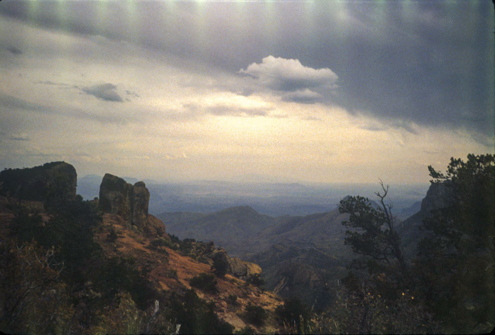
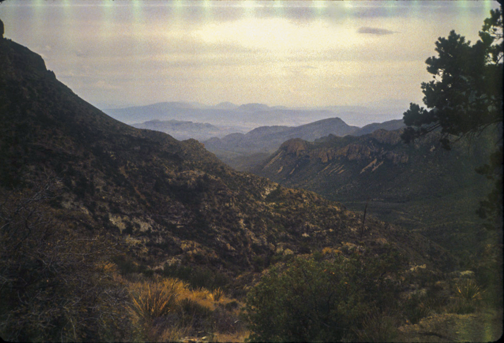
Not long after arriving I went to the Lost Mine Peak trailhead and hiked p to the top and back. As soon as I started on the trail, the crisp smell of the juniper and other conifers brought back memories of my earlier trips, stirring memories of past hikes and confirming that this was exactly where I needed to be. I saw smoke back in the Basin, and thunderstorm along the mountain tops although photos don’t reflect that very well.
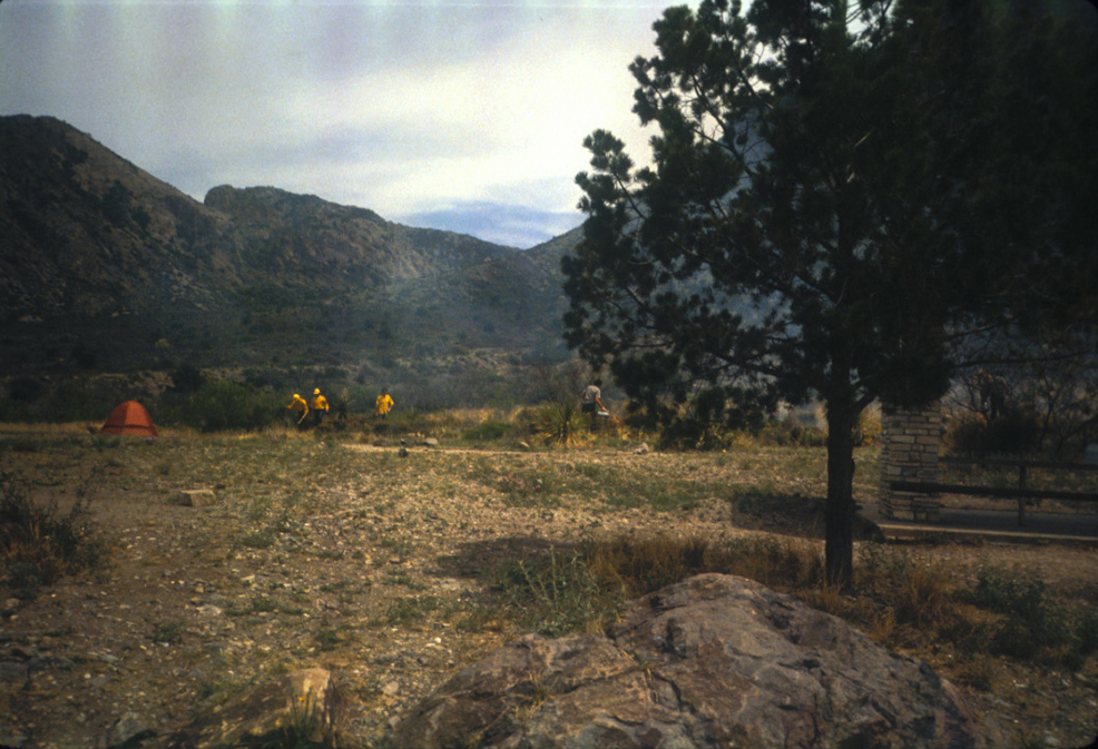
Back in the Basin campground, I noticed NPS staff conducting a controlled burn. No pictures of any tent, so I assume I slept on the picnic table.
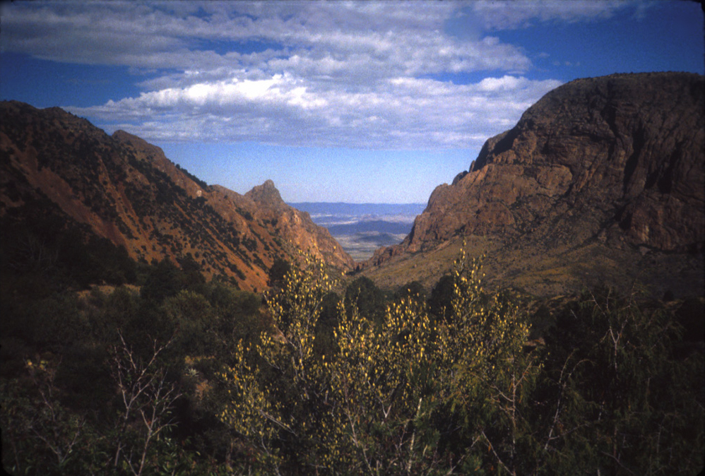
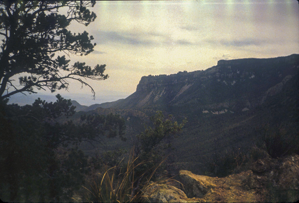
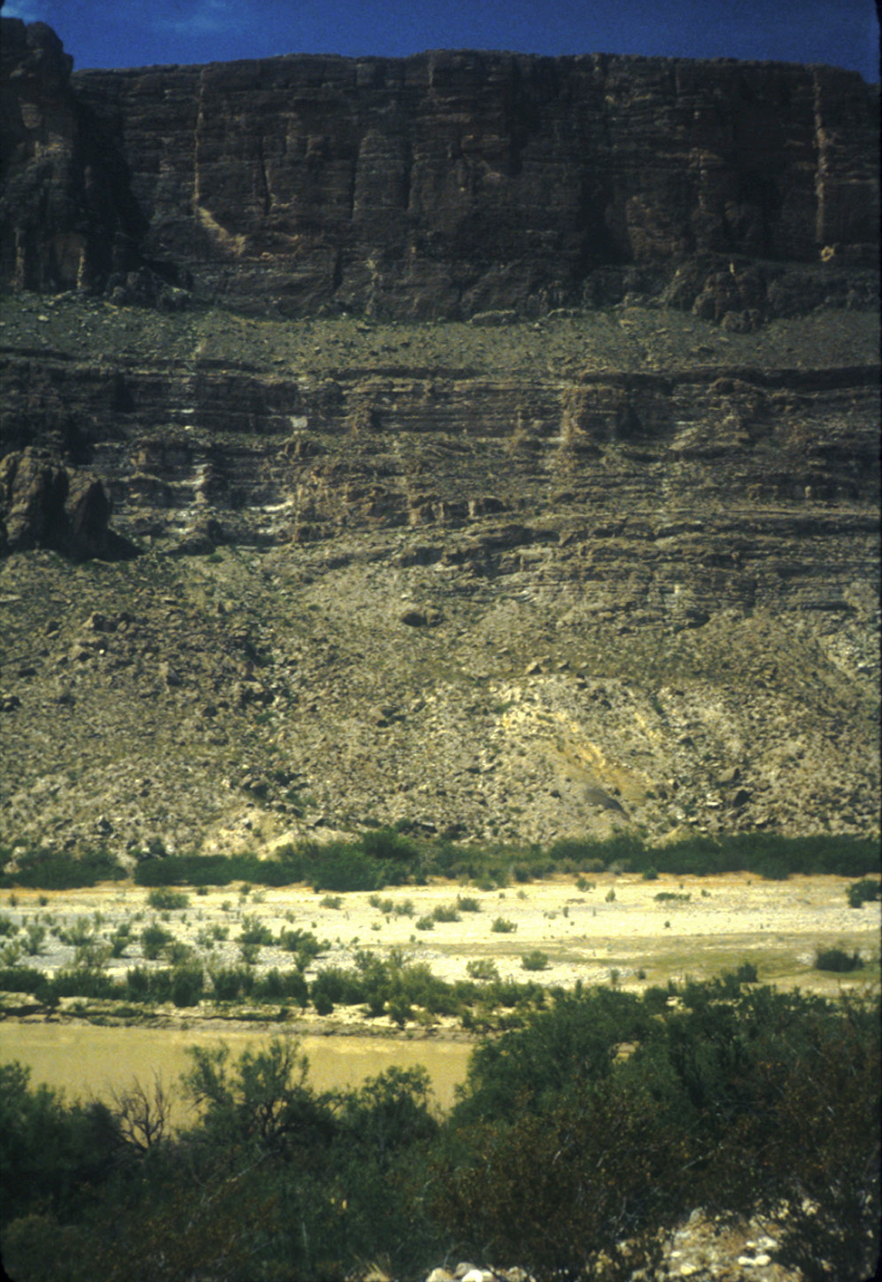
I seem to have had a busy day the next day. First, Lower Burro Mesa Pouroff, followed by brief visit to Santa Elena Canyon (but no photo of the actual canyon? Amusing.)
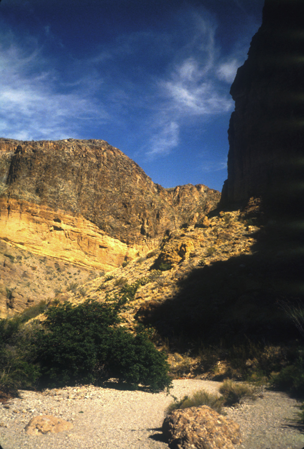
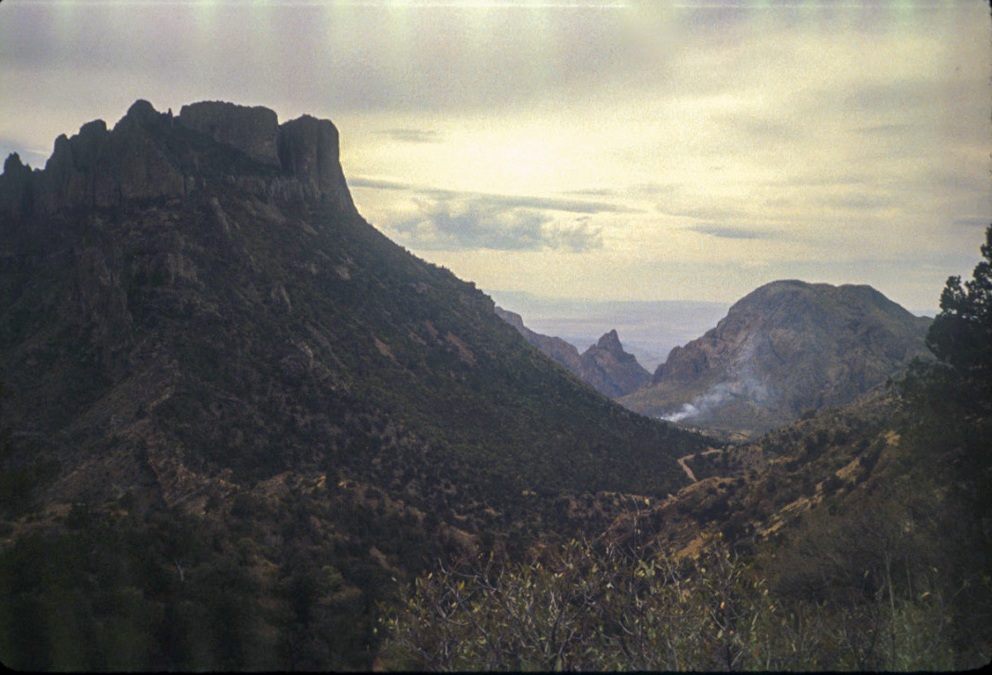
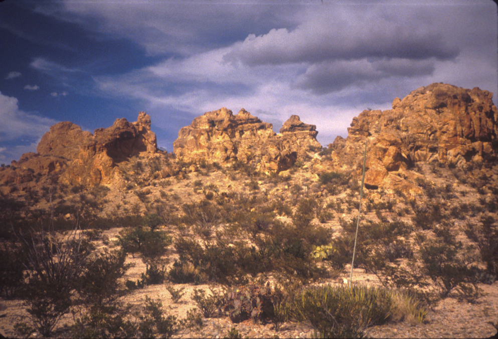
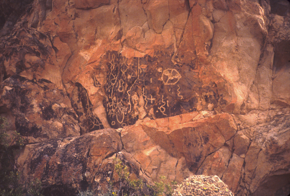
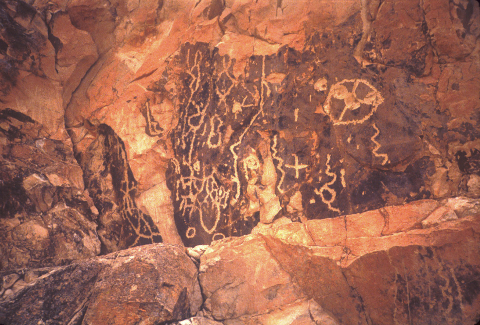
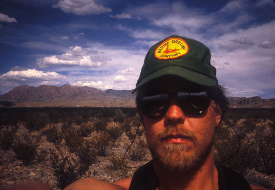
Then, over to do The Chimneys. While sitting in my loggin unit offshore, I had nearly worn out my topo maps of the park and the only hiking guide I owned of the park. I was intrigued by “The Chimneys” on the map, and decided I would do it not only to see The Chimneys but to get a feel for hiking out into the desert floor. When I got to the trailhead, there really wasn’t one; just a pullout from Ross Maxwell drive. It was a bit warm, my minimum register thermometer, which I’d left on the floorboard of my ’82 Toyota Supra, seemingly shattered from the heat. (I must have lost my Marine Drilling hat around this time because I never saw it again. Oh well.) I thoroughly enjoyed the hike, ate a bit of lunch while I explored the petroglyphs, and puzzled what seemed to be bullet holes in them.
The “trail” was only a suggestion of a way to go, unmarked and lightly if any maintained. All along I examined Kit Mountain to the South and pondered what it would be like to go to the top of it.
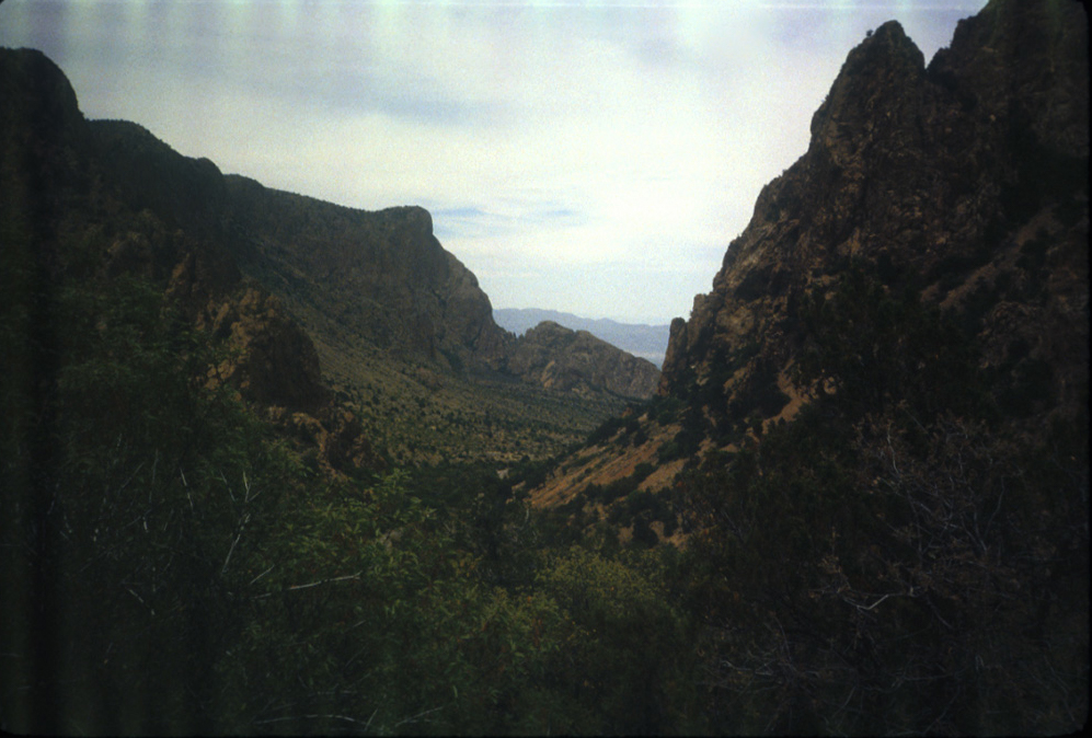
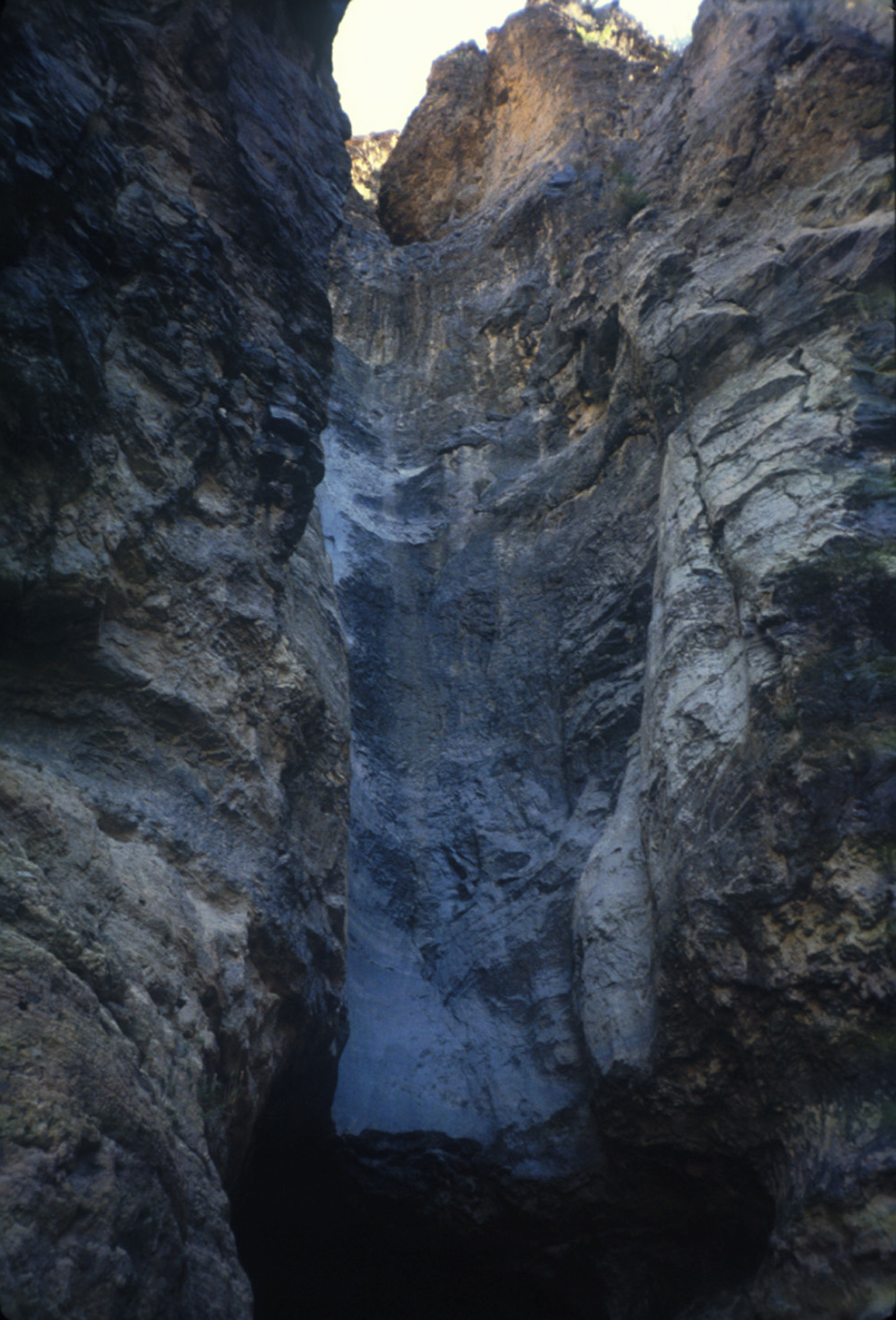
Photos from my hike to The Chimneys and back:

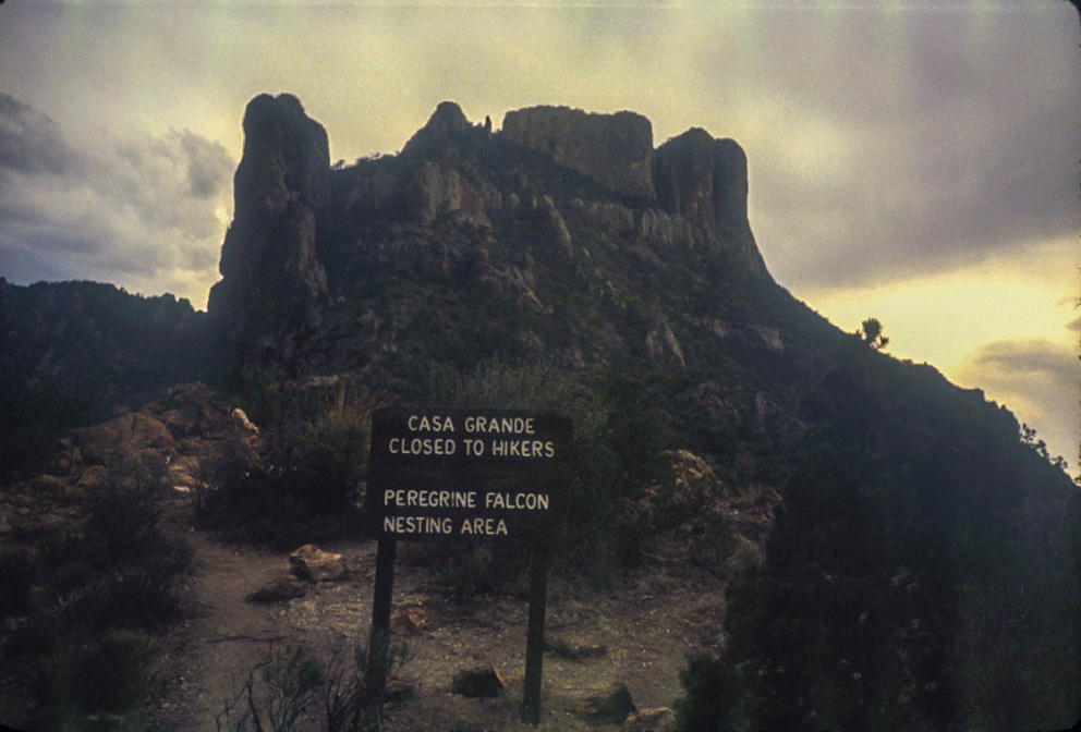
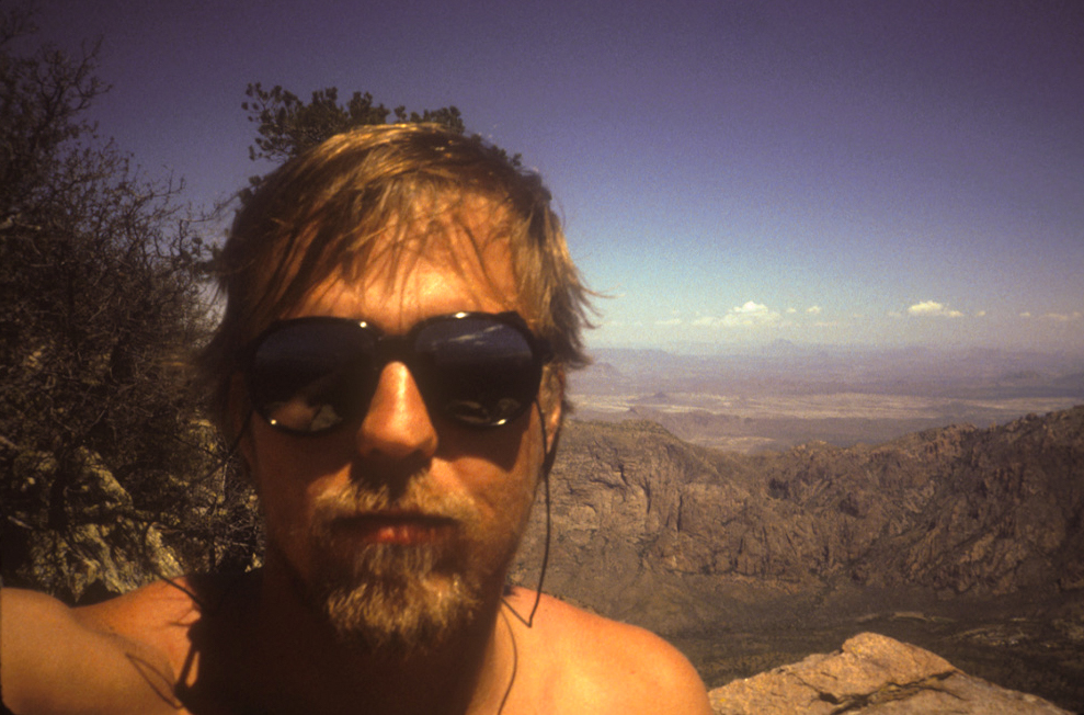
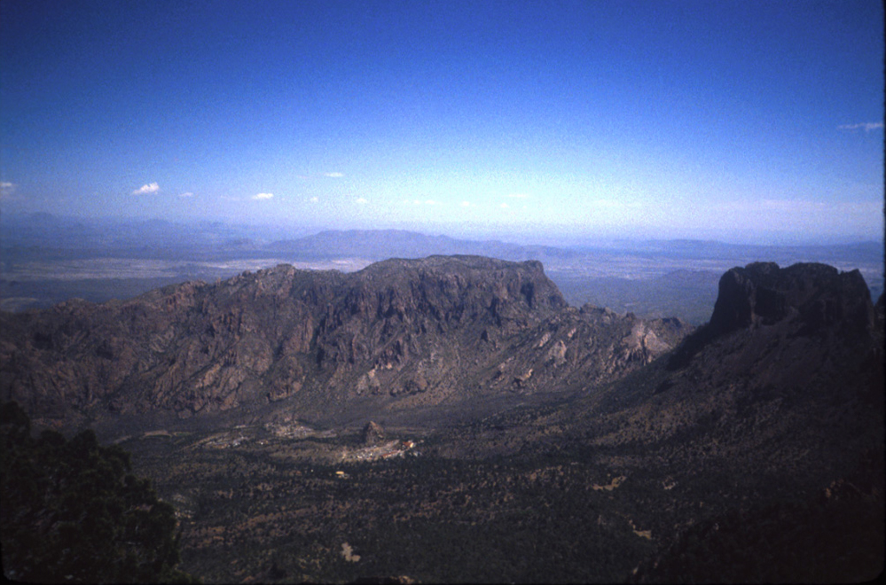
April 20-Emory Peak Summit, ca. 60 º. Climbed Emory. Don't recall much except it was a wee bit scary climbing up the very end of the summit trail.
—notes
The next day I climbed Emory; not a whole lot of people on the trail. I don’t think there was anyone else on the summit, hence the hand-held selfies.
I should point out that this was a mid-April weekend in Big Bend National Park, and the trails were mostly empty and there was plenty of parking at the trailheads. This is not the case any more.
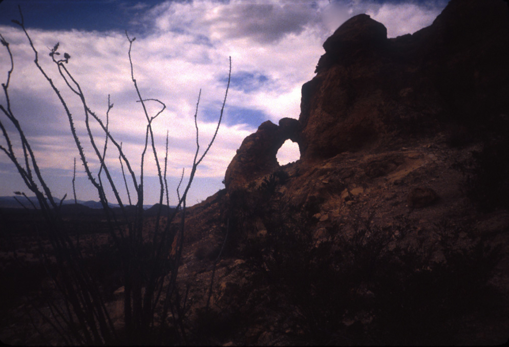
My last day in the park I see brief references to the Window trail and Hot Springs in my notes, not sure if I actually went all the way to those spots. I did spend some time in the Rio Grande Village area. I have a note I wrote a little later indicating I left after Hot Springs about 4:00, and ” fairly disgusted with the horse stench along the Window trail.”
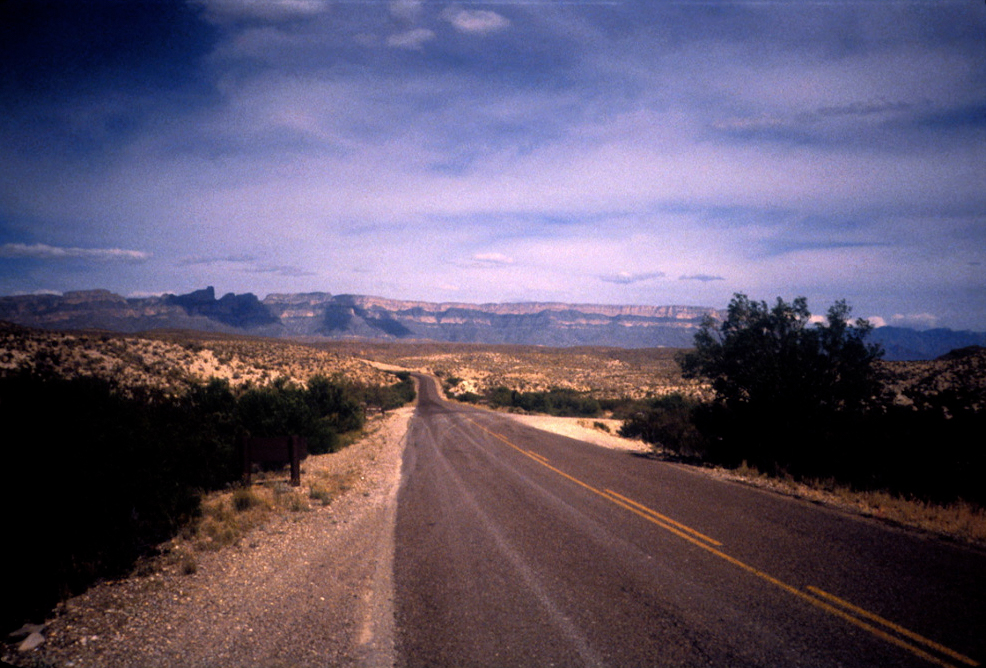
Gassed up in Terlingua and headed for the Davis Mountains, thence to Guadalupe Mountains National Park.
Returning
Gear:
- Boots: New Balance Rainiers
- Camera: Nikon Tele-touch 35-70 35mm. (Borrowed from Dad.)
- Layer: Patagonia Pile jacket
- Vehicle: My treasured 1982 Toyota Celica Supra
Lessons learned:
- Don’t leave a thermometer on the floorboard of a vehicle in Big Bend.
Discover more from Phil's Phieldnotes
Subscribe to get the latest posts sent to your email.