TR-Guadalupe Mountains April, 1985
McKittrick Canyon, Guadalupe Peak, Sitting Bull Falls, Carlsbad Caverns
- 4/18/85-4/21/85 Big Bend NP (separate post)
- 4/21-4/24 Guadalupe Mountains NP
- 4/22-McKittrick Canyon
- 4/23 -Guadalupe Peak, Sitting Bull Falls NM
- 4/24-Carlsbad Caverns National Park
Gear, Lessons learned
Trip Report
It’s been quite a while since my first climb up Texas’ highest point, Guadalupe Peak (8,751′ now, was listed at 8,749′ then). I have basically no notes from that trip; just fuzzy memories and some fuzzier photos from an old point & shoot Nikon I used to borrow from my dad. I have just enough to piece together the itinerary.
Planning
I was twenty-six years old, still in the middle of my offshore oilfield career. I had read the old “Trails of the Guadalupes” guide, published by the Carlsbad Caverns Natural History Association, backwards and forwards while working out in the Gulf of Mexico and had decided I needed to go see Guadalupe Mountains National Park (GUMO) and climb the highest mountain in Texas.
I went to Big Bend National Park first, then, after leaving Hot Springs around 4:00, on to GUMO arriving very early in the morning of the 22nd of April, 1985. I don’t even think I camped there that night; I may have stayed in the parking lot of the rest area up the road a few miles the first night, then possibly a motel in Carlsbad. I hiked McKittrick Canyon that first day, then I think overnight in Carlsbad at a fairly new Motel 6 and then Guadalupe Peak the second day.
I may have stopped at the old temporary visitor “center” in what’s now known as Frijole. A mobile home, and other portable buildings at the end of a caliche road were all that they had there at the time. I started the hike up McKittrick Canyon in the morning, a sunny but windy chilly day. One of the few memories I have is that of an NPS trail maintenance crew off to the side sort of chuckling at a rattlesnake stretched out across the trail. After a moment’s alarm, I realized it was either too cold or too full to be moving, well, at all. I stepped by and continued on up the trail. I’m not even sure how far I went up; I do have a photo from the “grotto”.
The next time I’d be on this trail would be in another year or so, on the return leg of a backpacking loop.
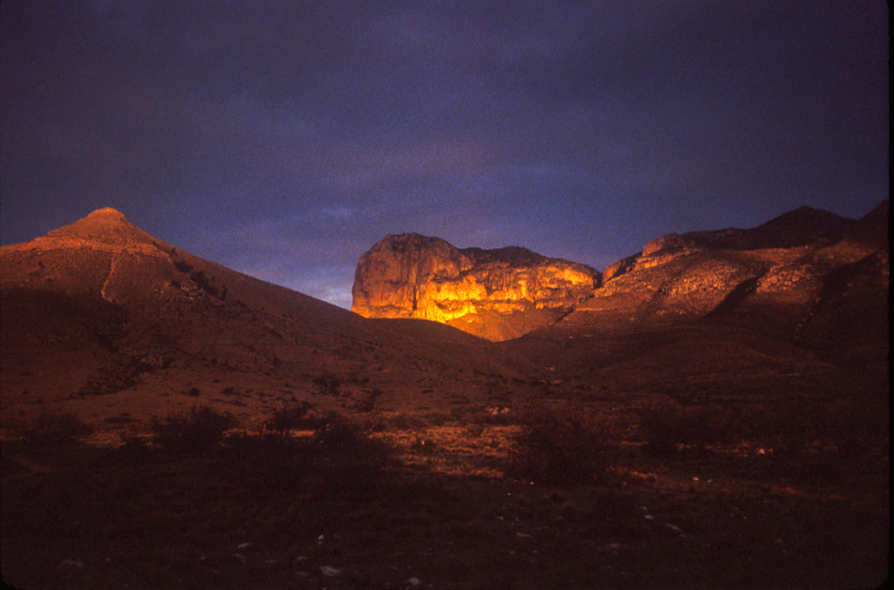
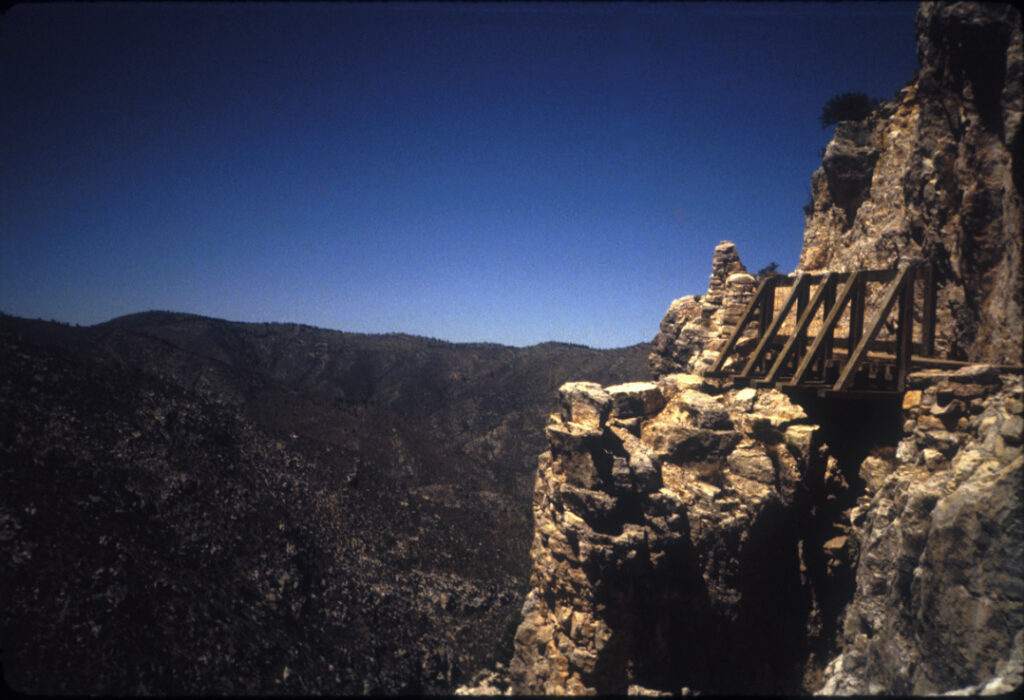
"April 23-Climbed summit Guadalupe Peak. 40 deg-80 deg. Quickly through Sitting Bull Falls."I started reasonably early that morning I think. The weather was sunny, windy and chilly. The wind really began to howl and push me around as I ascended the first mile or two, especially the part of the trail where it is blasted right out of the solid limestone cliff. I remember feeling a bit apprehensive and unsteady as the wind really was moving me around as I made a switchback which put me on the opposite side of the cliff and suddenly the wind was gone.
There’s a conveniently situated boulder not far past that mini-pass, a nice place for a brief respite. The trail then leads through a forest of tall conifers which may be a surprise to those who didn’t expect it. Some years remnants of winter snows may linger for months as packed snow and ice here on the north-facing slope, but there was none on this trip.
The trail emerges from the forest, and over the last mile or so one passes a couple of spots which may excite the acrophobic folks, one with a bit of exposure and one little wooden bridge to cross; and then the designated backcountry campsite turnoff.
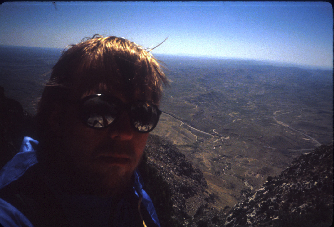
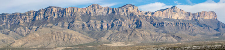
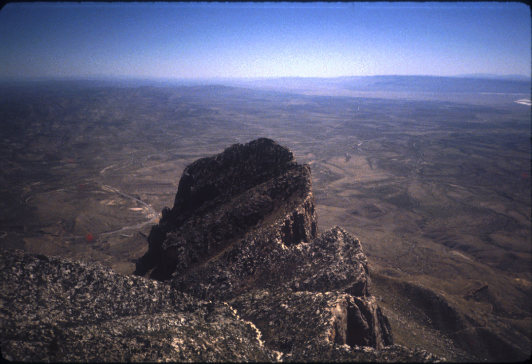
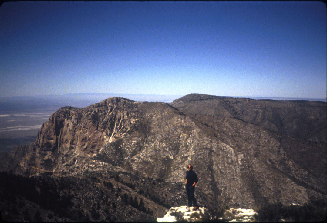
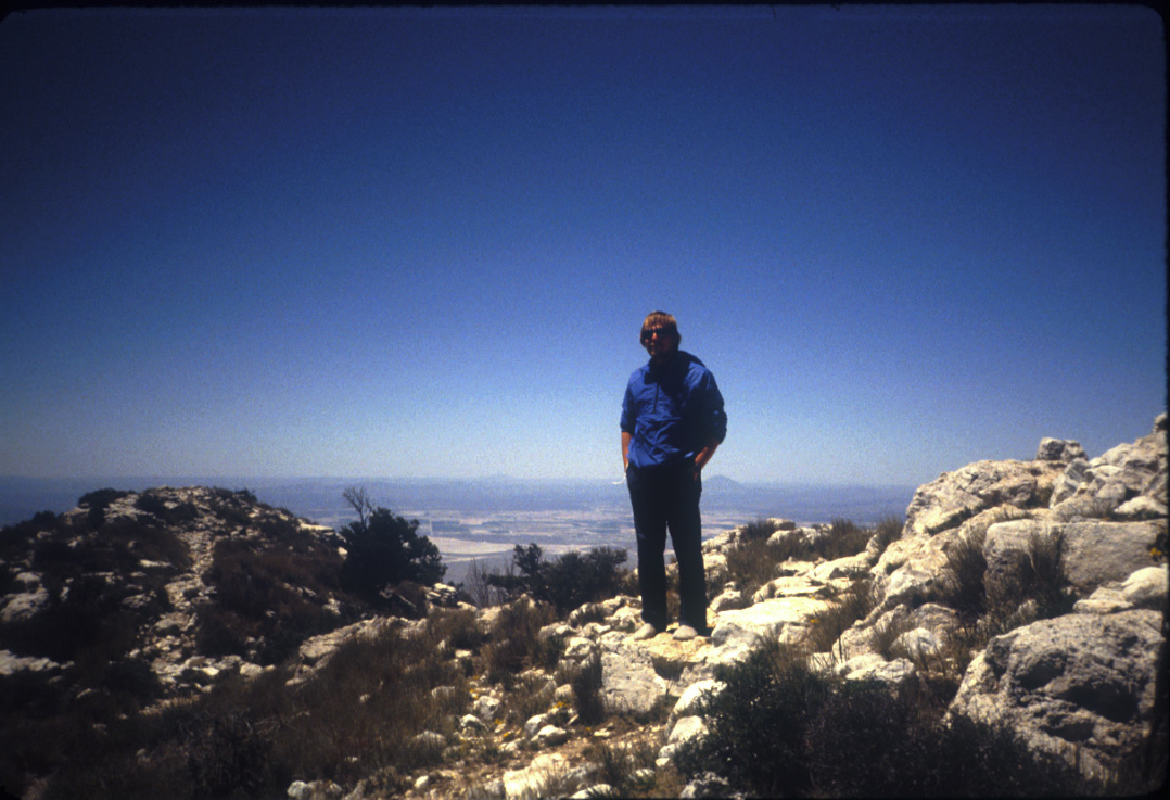
Finally, I saw the horse hitching posts just below the summit, and then I was on top of the peak; actually a large flat summit area. I enjoyed the wonderful views in all directions, somewhat interrupted by Hunter (8,368′) and Shumard (8,615′) peaks to the Northeast and North, respectively. I was alone for a while, then another young man arrived; we took each others pictures on the summit.
Since this trip report is from memory and not from written notes I can’t say anything about the return hike other than it wasn’t memorable. Pretty sure there was hardly anyone out there that day.
I returned to my motel room in Carlsbad and then made a quick trip to a place I’d seen in one of my New Mexico hiking books, Sitting Bull Falls, in the Lincoln National Forest. Now, it’s possible I went there straight after the hike; I’m not sure. Either way, it was dark as I headed out the Forest Road, and I made much slower progress than I’d anticipated. I got there pitch dark and nothing I could see, so I came back.
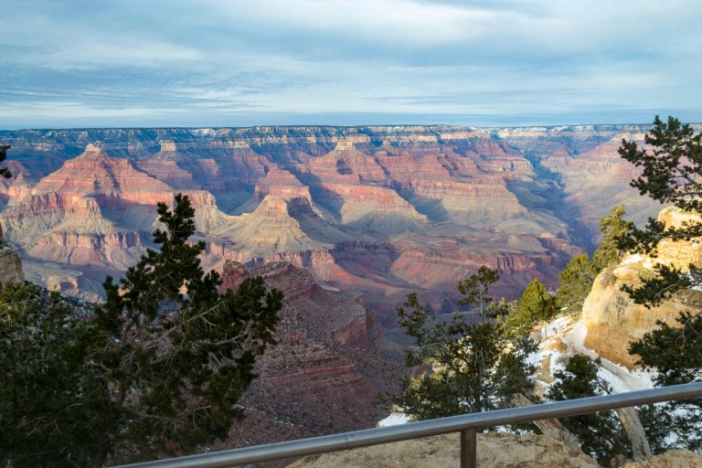
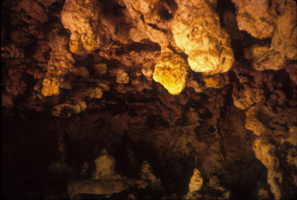
The next day I checked out of the motel and visited Carlsbad Caverns National Park. I must say I was not impressed; the lighting was poor. (I was amazed when I returned over thirty years later, post lighting overhaul. It was an incredible sight.)
I finished up the trip with a swing by Lubbock to visit my best friend growing up, Fred, who was a sports writer and intern at Texas Tech. We played golf, and I returned home.
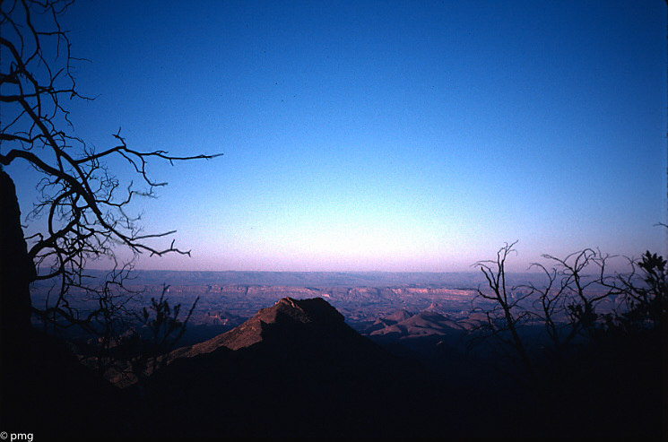
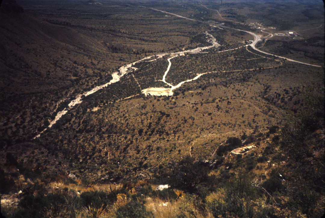
One thing about the summit of Guadalupe Peak I didn’t realize at the time has to do with the view, and it took me years (maybe after my 1997 summit hike?) to figure it out. The vast majority of hikers, including me, will do this hike starting in the morning, arriving at the summit a couple of hours either side of noon, then returning. As any photographer knows, the noon hours are the worst for shooting landscape, as the colors wash out and there is little shadow relief to highlight terrain. This would lead me to do an overnight to the summit fifteen years later (in February 2000) and I would be rewarded for my patience.
Gear:
- Wind: Patagonia wind shirt
- Boots: New Balance Rainiers
- Pants: Patagonia (wind pants?)
- Camera: Nikon Tele-touch 35-70 35mm. (Borrowed from Dad.)
- Navigation: Silva Ranger 15T compass; Trails Illustrated map
Lessons learned:
This was the end of my first solo camping trip and it really crystallized for me what I really wanted to do in my free time for the rest of my life. To this day I recall with pleasure the naïveté, the ignorance of that pre-internet time. When my only guide was basically on old park brochure from my parents, and the Rand McNally Road Atlas.
Discover more from Phil's Phieldnotes
Subscribe to get the latest posts sent to your email.