TR-Guadalupe Mountains Dog Canyon & Gypsum Dunes November 14-16, 2019
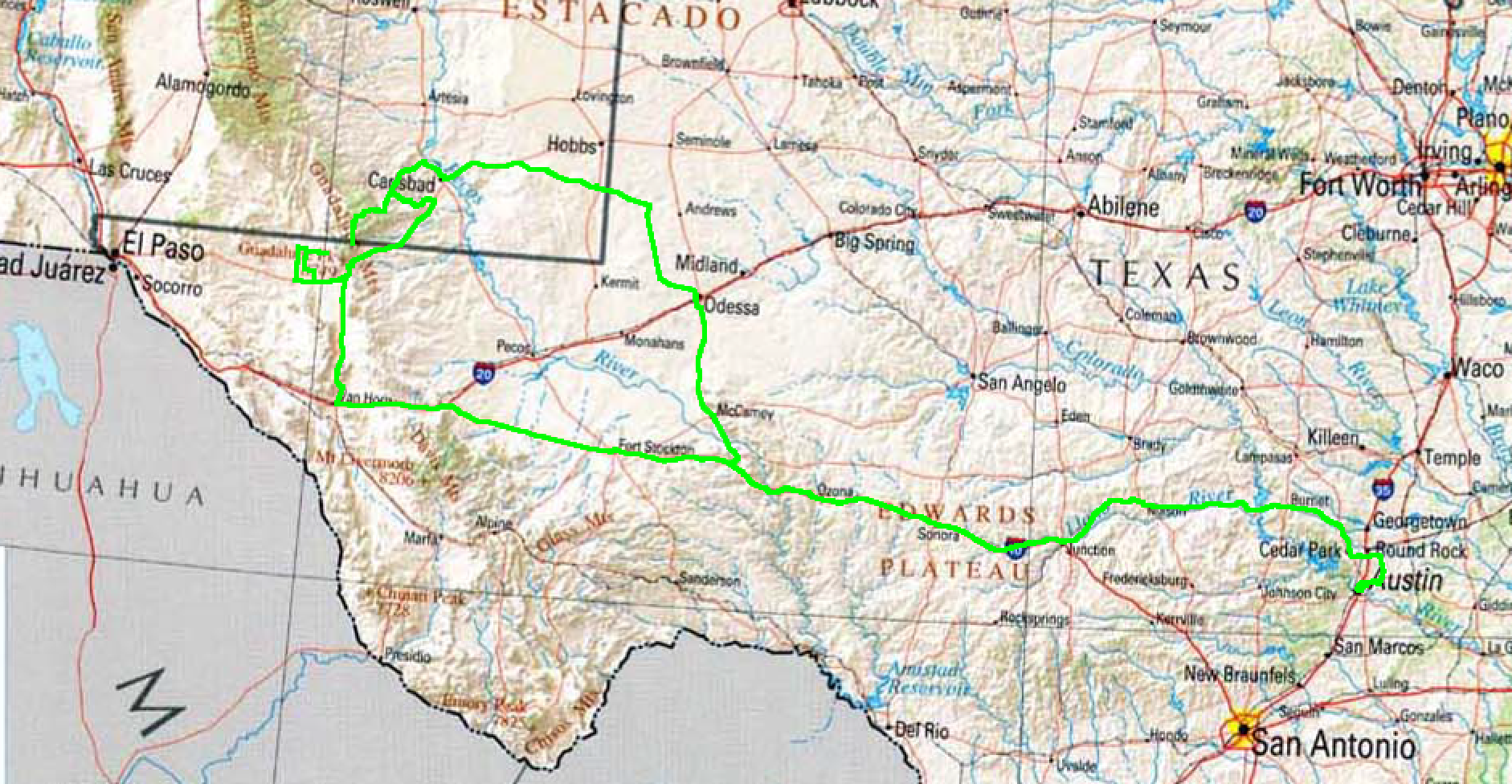
Wednesday the 13th I left Austin after work and some final packing around 6:00 P.M. and got to Ozona around 10:00. Next morning I kind of let Google navigate me, wanting to stay well away from US 285; ended up going East and North of it, to near Odessa, then coming into the Guadalupe Mountains/Lincoln National Forest via Carlsbad. Only in one small section, around Eunice, did I experience much oil field traffic.
Arrived Dog Canyon 1:00 P.M. MST on Thursday. I was a little discombobulated since I have never arrived there so early in the day: Because of the distance, I generally arrive shortly before sundown but since I’d left from Ozona I had a significantly shorter drive.
I saw nobody driving in my direction and maybe one or two vehicles going the other way the last 60 miles of the drive in, so as I expected there were no campers in the campground nor other vehicles at Dog Canyon save for an official truck at the Ranger station.
The Dog Canyon Ranger station in Guadalupe Mountains National Park is not always staffed; the one full-time ranger assigned to Dog Canyon often has other duties to take care of. Sometimes there is a volunteer to staff it, sometimes not. Owing to the scarcity of visitors to that part of the park, a fully staffed Ranger station is not a priority for the Park Service. It’s not unusual for me to never see the ranger during a three or four day visit, but this time as I pull up to the little building I see an “Open” sign and hear movement and conversation from the inside. Once inside I’m greeted heartily by the two uniformed men, one my age or older and one younger looking. I was a little surprised to find the younger was the new resident Dog Canyon Ranger; the older a volunteer. (Turns out the volunteer was a retired NPS Ranger with decades of experience; not your average camp host or volunteer.) The previous Dog Canyon Ranger who I had expected to find there had recently moved across the park to Pine Springs to bring his family and new-born child closer (relatively) to medical care.
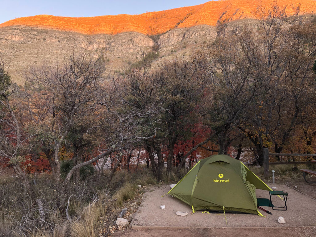
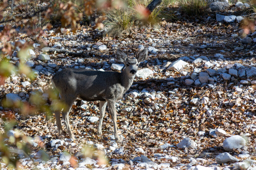
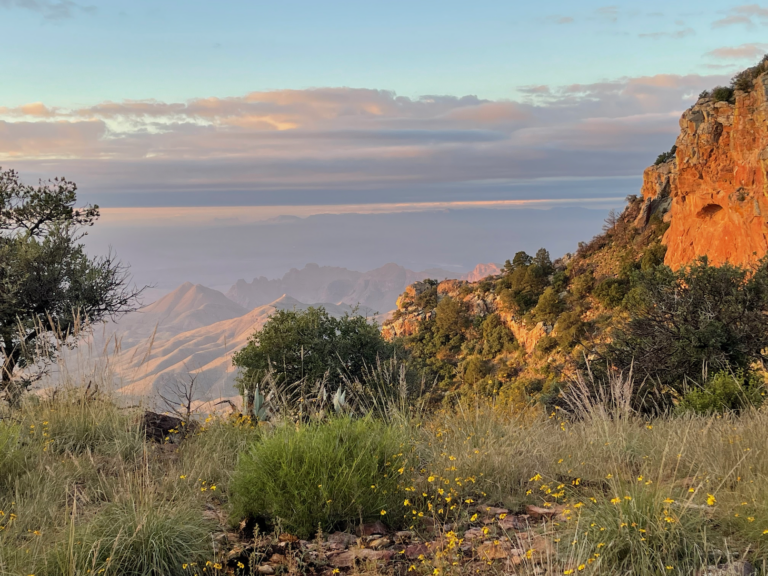
I set up in my usual spot, site #6, which is farthest from others and the parking lot and also most likely to have wildlife. In fact, while setting up, I rousted a herd of deer browsing around the site. I was the only person in the campground or anywhere else in the entire Dog Canyon area aside from the two Rangers. I had hoped to see some fall color, but wasn’t really expecting much. The Ranger volunteer told me I’d just missed peak color by about a week; but three very cold days followed by a windy spell had pretty much reduced the color to only a few trees around the campground and a few I could see high up on the surrounding mountains.
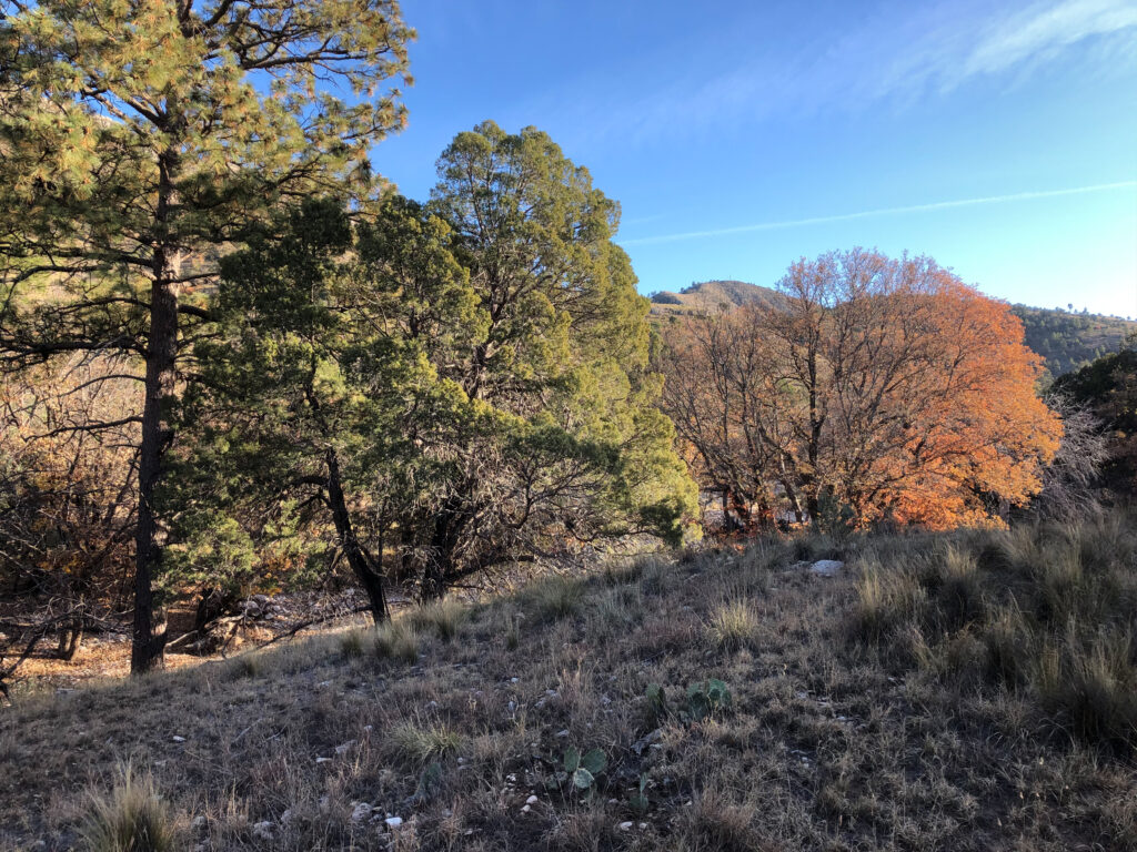
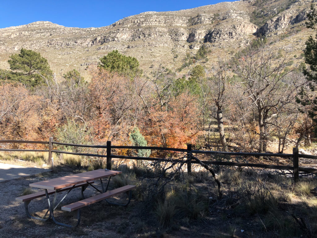
The weather was pretty nice; a bit chilly the first night, a freeze and in the morning my water bottles were about half full. Also that first night I heard a mountain lion come close by the tent, advertising for a mate. She came down the wash that runs along side the campground; I’d heard a similar call last year (2018) in the spring but it was a different lion.
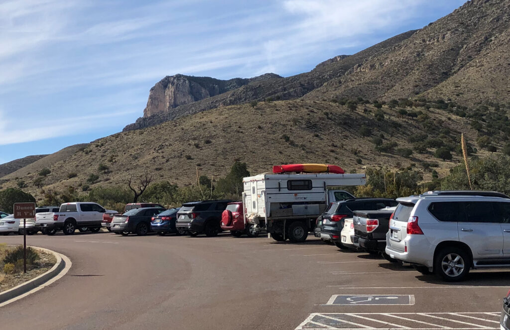
I left on Saturday, mid-morning, via the forest road that goes out to the East and hits 62-180 between Carlsbad and Whites City. Since I had plenty of time I thought I’d make the trip over to the west side of the park and maybe explore the dunes over there; one of the very few places in the park I had not seen. I stopped by Pine Springs to see what kind of info they had, and to get a guarantee there was gas to be had at Dell City. (They guaranteed it.) I could easily make it to Van Horn to fill up, but adding in the miles to the dunes and back would make it a pretty dicey proposition. Pine Springs was crowded; the sign on the way in warned “Hiker Parking Full” and compared to the solitude of Dog Canyon was somewhat jarring.
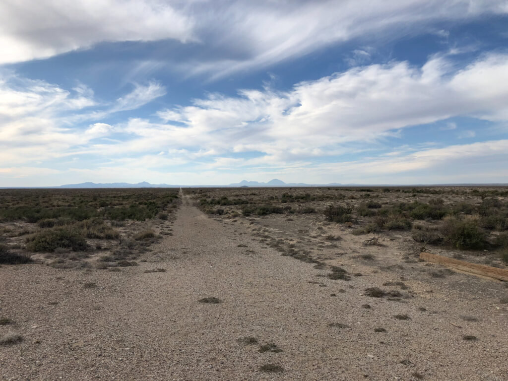
The drive out to the dunes is somewhat straightforward, but I actually got a bit lost in Dell City. I found the gas station; unmanned but open. I couldn’t find the “visitor center” for the dunes on the first pass; I did eventually. And the directions I had referred to Ranch Roads but the streets in town had other names. But once you get started in the right direction you can’t get lost; 12.5 miles down Williams Road, unpaved and straight as a string. (I assume the road is named after the same family who had the ranch at the base of the escarpment and whose house still stands.)
At the end of the road is a fairly modern picnic area, with an information kiosk at the trailhead and a clean pit toilet. I had not even been certain I would do the hike, but after the drive out here I figured it would have been time wasted to not do the final couple of miles. I put on my small 1 liter backpack, got my digital 35mm camera bag and took off down the trail.
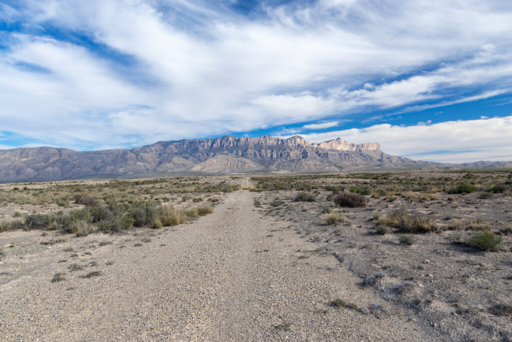
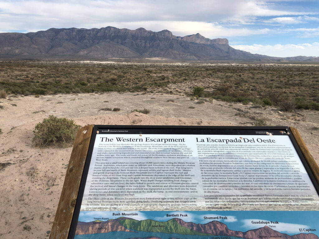
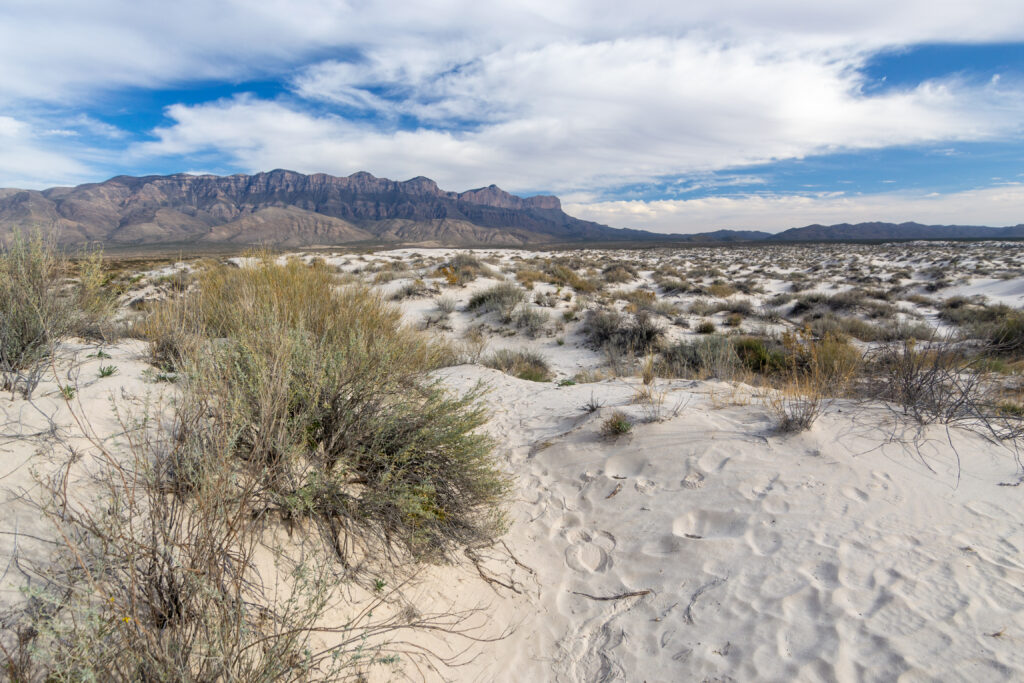
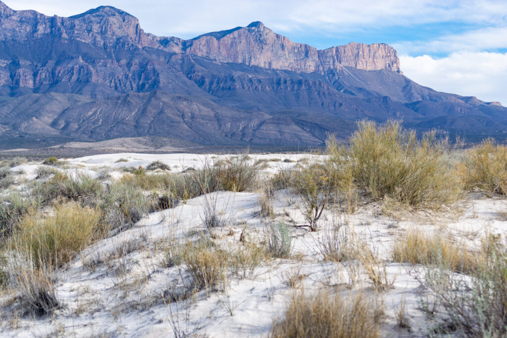
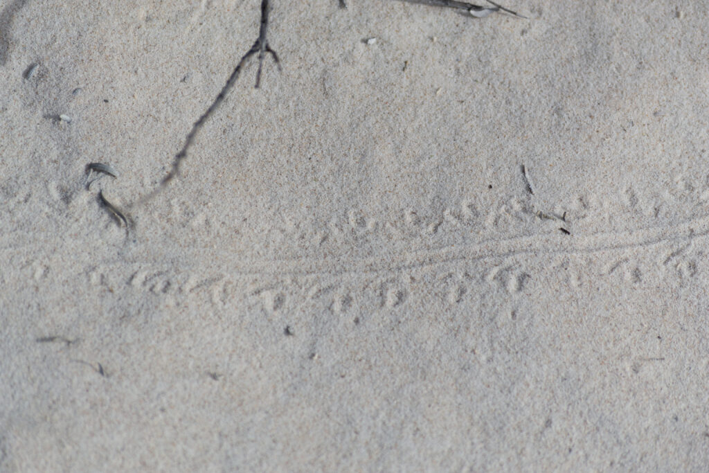
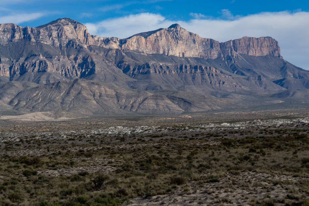
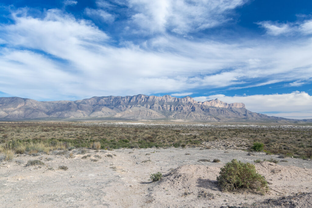
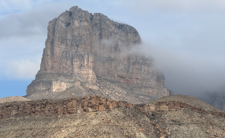
The hike is pretty simple; mostly following an ancient ranch road, easy to follow, mind the cactus as always. After about 1/2 mile I came upon another sign, this one naming the peaks of the Western Escarpment (El Capitan, Guadalupe Peak, Shumard, Bartlett, Bush). Thence another half mile and I took a well-used trail straight up into the dunes. I didn’t spend a whole lot of time there, as I was beginning to get into a time constraint and hadn’t actually planned to spend a lot of time there. But there were great views of the escarpment, and all sorts of tracks and trails in the sand. I barely explored the one side of the dunes I reached; one could spend hours up there.
I took only a few photos and I could see why some photographers have captured incredible scenes from here, the escarpment is dramatic, dominates the scenery, and even in the not-so-great light of an overcast midday hike I got some decent shots. Ideally I’d come back for a late afternoon hike, or if lucky when a thunderstorm was in the area. One could also spend an entire afternoon examining the side of the escarpment; I was trying to see if I could see the Williams Ranch house, near where I’d backpacked to in November of 2017.
I got back to the trail head/picnic area. I took my time eating lunch and listening to the Longhorns lose to Iowa State (there is pretty strong cell coverage out there.) Then I headed out, back to the highway and on my way home.
Discover more from Phil's Phieldnotes
Subscribe to get the latest posts sent to your email.

http://www.texasescapes.com/TRIPS/Guadalupe-Peak.htm