-
-
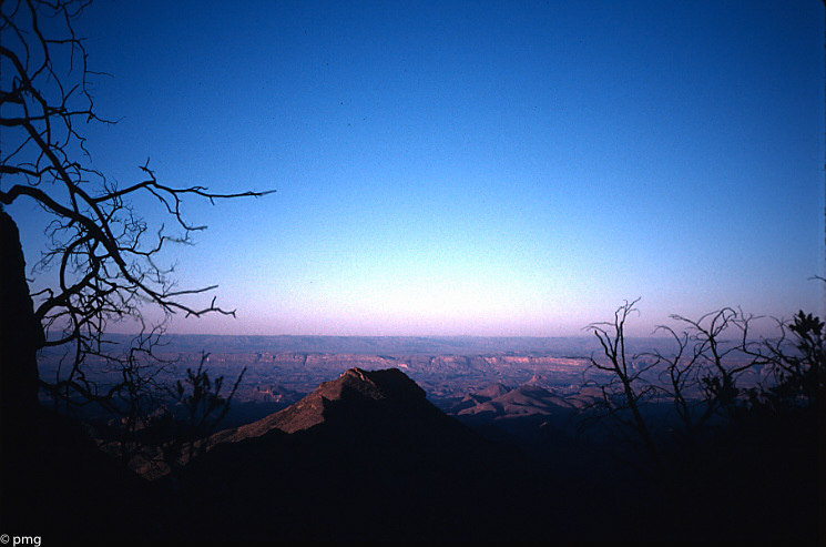
TR-Guadalupe Mountains NP Backpack Sept 1986
Trip report written some thirty-four years after the fact, relying on photos, map notes, and memory. Starting from Pine Spring Campground, I got up to the crest at the trail junction near Pine Top where I met Ranger Craig. Turns out he was doing a backcountry stint, and we hiked together for the next two…
-
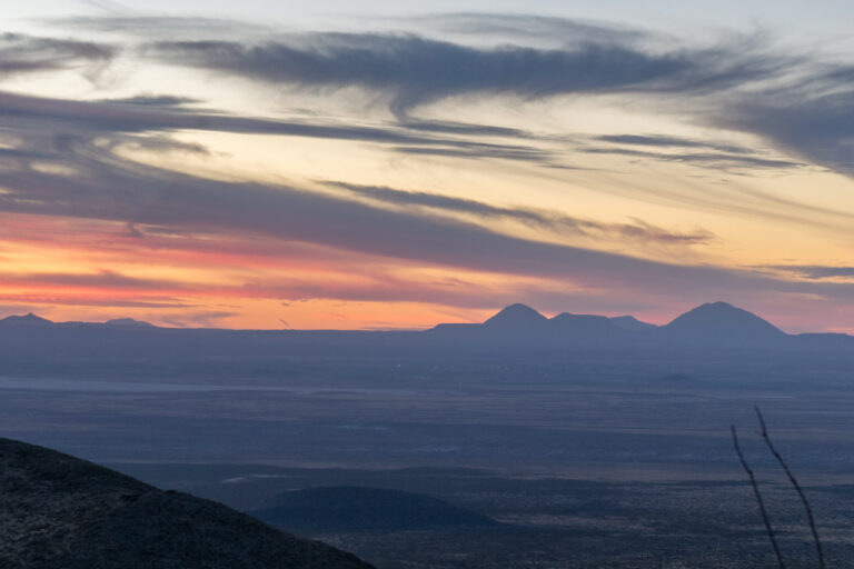
TR-Big Bend NP Backpack South Rim Feb/March 1999
This is a trip report copied almost verbatim from what I wrote in 2000. I took this trip on what I figured to be the last non-busy week before Spring Break; however, it was already getting crowded in the campsites (the Basin was full). I had arrived the night before around midnight; seeing that the…
-
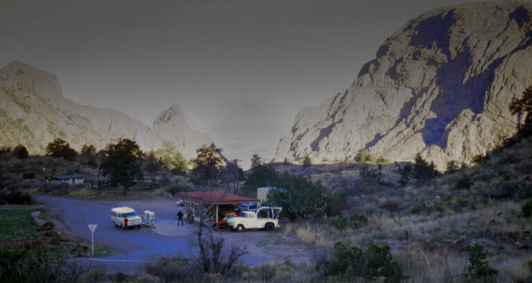
TR-Big Bend NP Family Trip April 1968
I was nine years old and kept thinking “
-
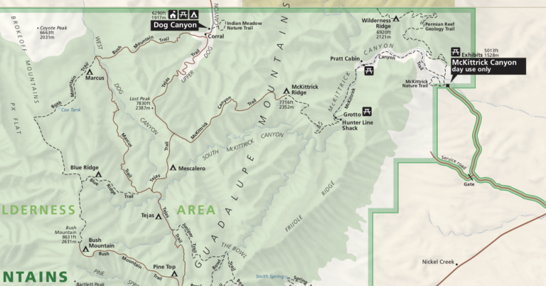
To-Do hikes
Marcus/Bush Mtn Trail Update: I finally did the Marcus trail in April 2025 but got snowed out of my following Blue Ridge/Bush Mountain backpack. I really want to finish up all the hiking trails in Guadalupe Mountains National Park. I’ve never been up the Permian Geology trail to the Wilderness Ridge BC site. I’ve never…
-
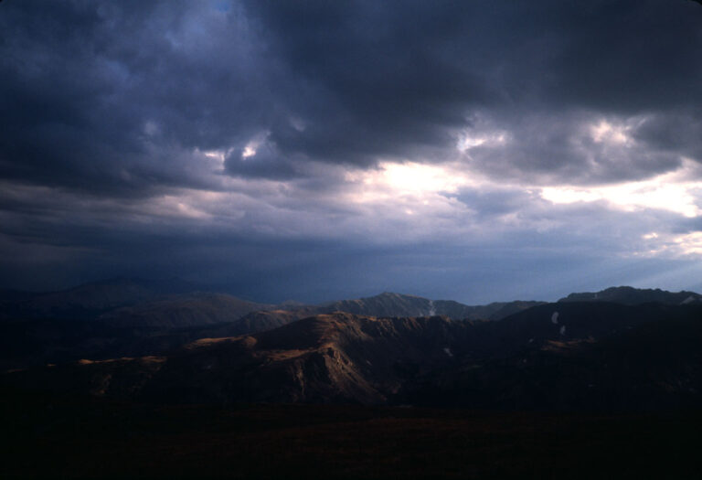
TR-Indian Peaks Wilderness August 24-25, 2000
Flickr album for this trip is here: This was a little backpacking trip in the Indian Peaks Wilderness area of Colorado. I’d already hiked much of the same area the previous year, that is the area up to and including the summit of South Arapaho Peak from the 4th of July trailhead. I would leave…
-
Guadalupe RIdge trail
https://backpackinglight.com/forums/topic/guadalupe-ridge/
-
Big Bend Camping Stats
Working planning doc
-
TR-Backpack-GUMO Shumard 11/16/2017
Gaiamaps link CalTopo map I spent most of a week in mid-November (2017) at Guadalupe Mountains National Park (GUMO). Camped 4 days/nights; at Pine Spring CG and in the middle an out/back overnight to the Shumard Canyon backcountry site. I don’t have a *lot* of info to add; i’ve done the El Cap/Overlook trail several…
-
Ken Sleight-Seldom Seen Smith
Ken Sleight was an old river runner/desert rat who was the inspiration for Ed Abbey’s character “Seldom Seen Smith” in The Monkey Wrench Gang.” I like that he calls Lake Powell “Lake Foul.” “It was probably foolish and masochistic of me to have hung around and watched it happen. But I just had to. At…