TR-Guadalupe Mountains NP Backpacking Feb-March 1986
Originally posted 3/16/2026
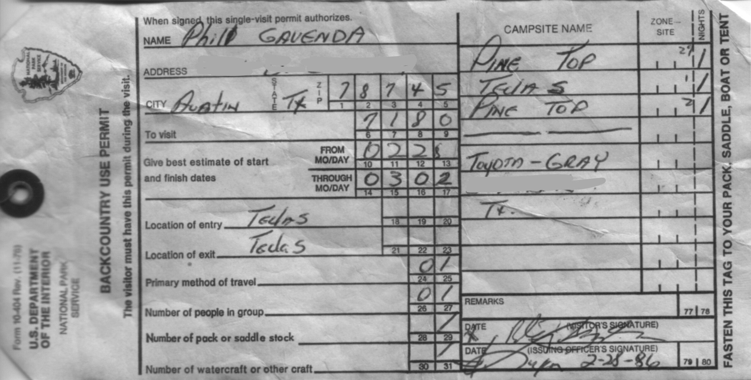
- 2/27/86-3/3/86 Guadalupe Mountains National Park
- 2/28/86 Pine Top backcountry site
- 3/1/86 Tejas backcountry site
- 3/2/86 Pine Top backcountry site
I recall that this was my first backpacking trip ever. I’ll have to go through my notes and photos to recollect exactly what I did, and will update this post accordingly. I did three (!!) backpacking trips in Guadalupe Mountains National Park (GUMO) in 1986 so while many details are clear, the itineraries take some figuring out on my part.
I was still working offshore in the Gulf and looks like I drove from Austin to GUMO on 2/27/86 and judging by my photos I may have spent the night at the rest area on the highway north of the park. I got my backcountry permit at the old “headquarters”–basically a tin shed on the unpaved road to Frijole.
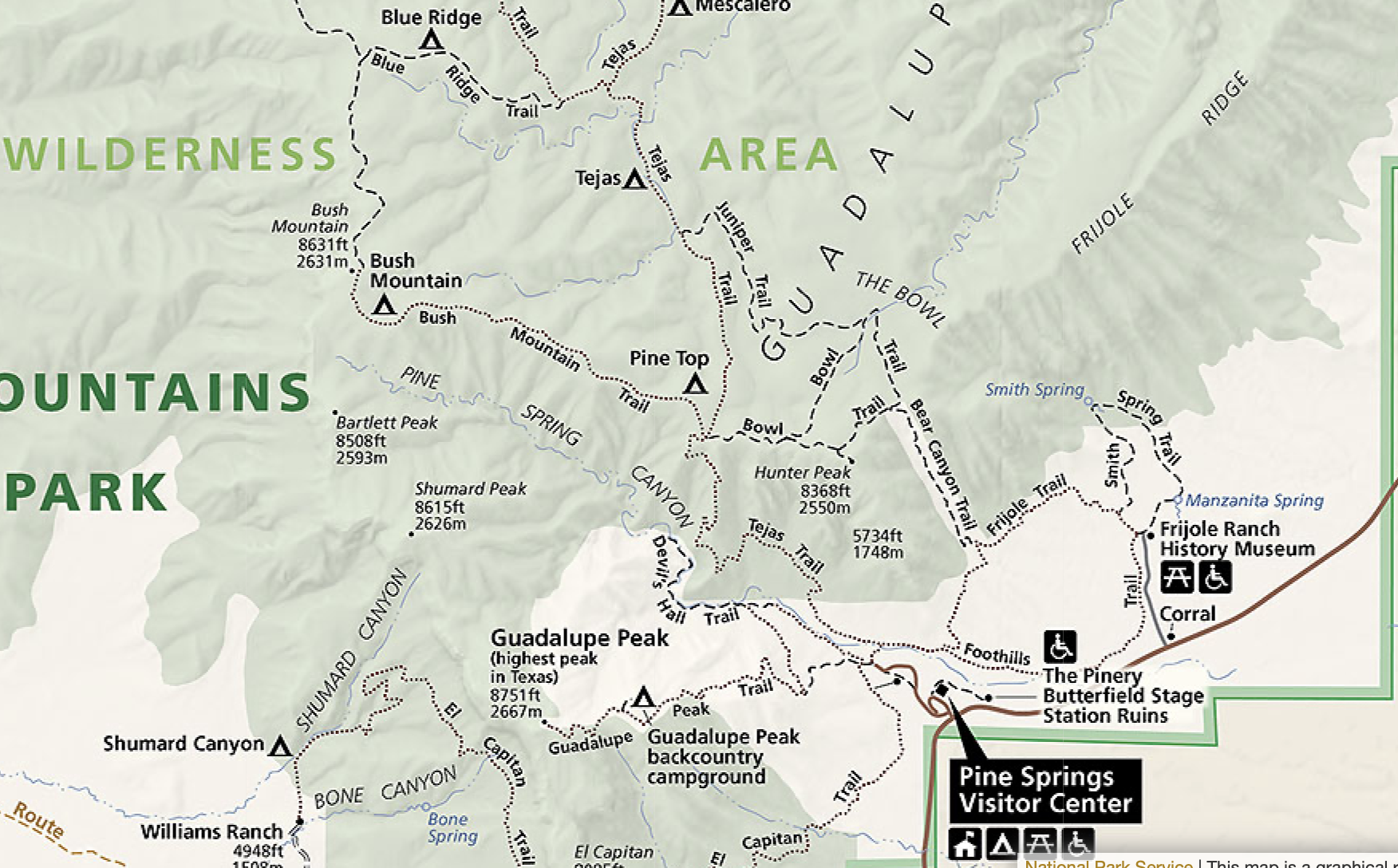
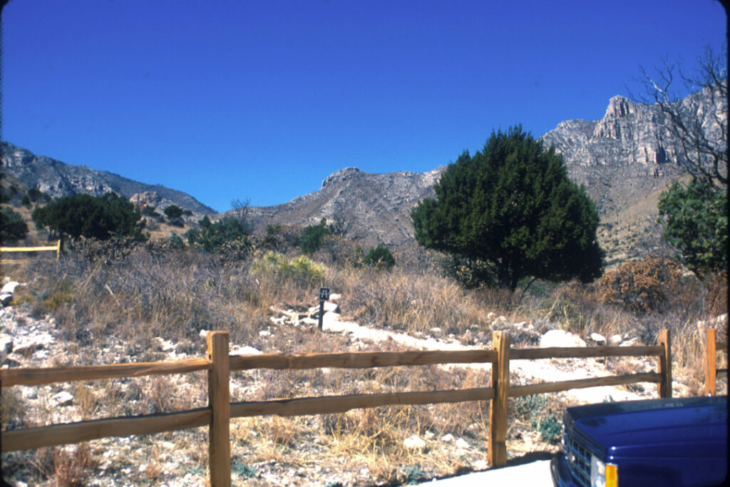
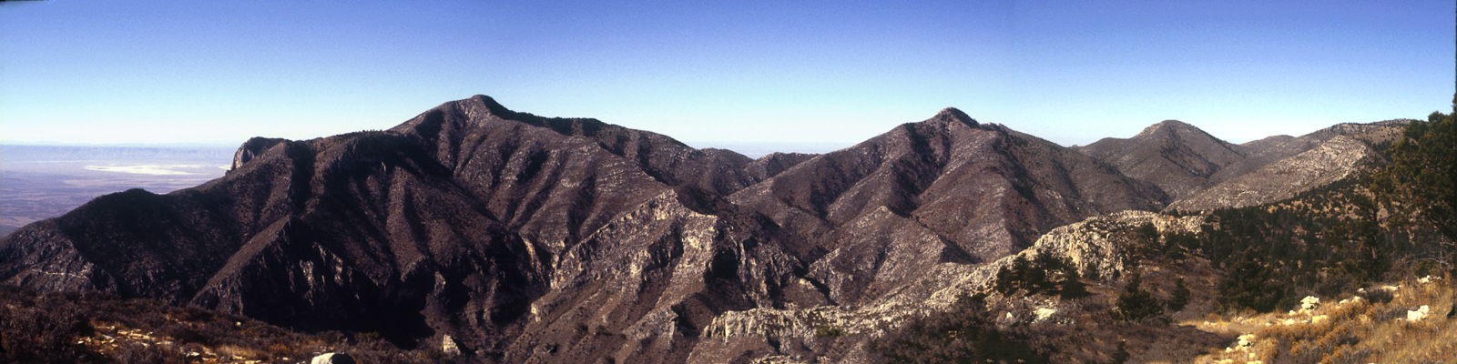
The route was up the Tejas trail, starting at trailhead by the Pine Spring campground, up to Pine Top backcountry site for first night; thence to Tejas backcountry site after exploring over to Hunter Peak, then maybe back along Tejas Trail, then back to Pine Top again for the last night.

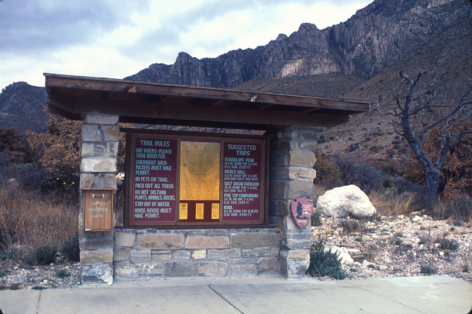
The most significant concern when planning backcountry trips in GUMO is water, as it is in any desert region, but it’s exacerbated by the absolute dearth of water sources in the high country. Unless it’s been extraordinarily wet, there’s no standing or running water to be found anywhere with the possible exception of well-hidden springs, and maybe a puddle at the bottom of The Bowl. I’ve backpacked in GUMO six times over the past forty years and come across (I think) two somewhat soggy patches by a trail and a puddle in The Bowl.
So there are only two real choices on a multi-day trip: pack a ton of water with you, or do a resupply run. For my three trips in 1986 I tried both strategies. They were both painful to a degree.
For this trip, my first backpacking trip ever, I used the “carry it all” strategy. I suspect I got by because although it was nominally a four day, three night trip I had a late start on day one and early departure on the final day, shortening the trip somewhat. I don’t recall how much I carried, probably less than three gallons. (I carried way too much superfluous crap though.)
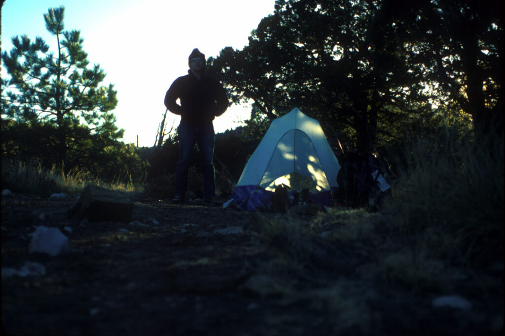
I set off from the trailhead for the Tejas trail probably late that day, carrying way too much weight–although there is a hanging scale to weigh your pack there at the trailhead kiosk I didn’t do it–and arrived at the top, Pine Top, late in the day. I must have been beat, because judging from my photos I didn’t do much exploring.
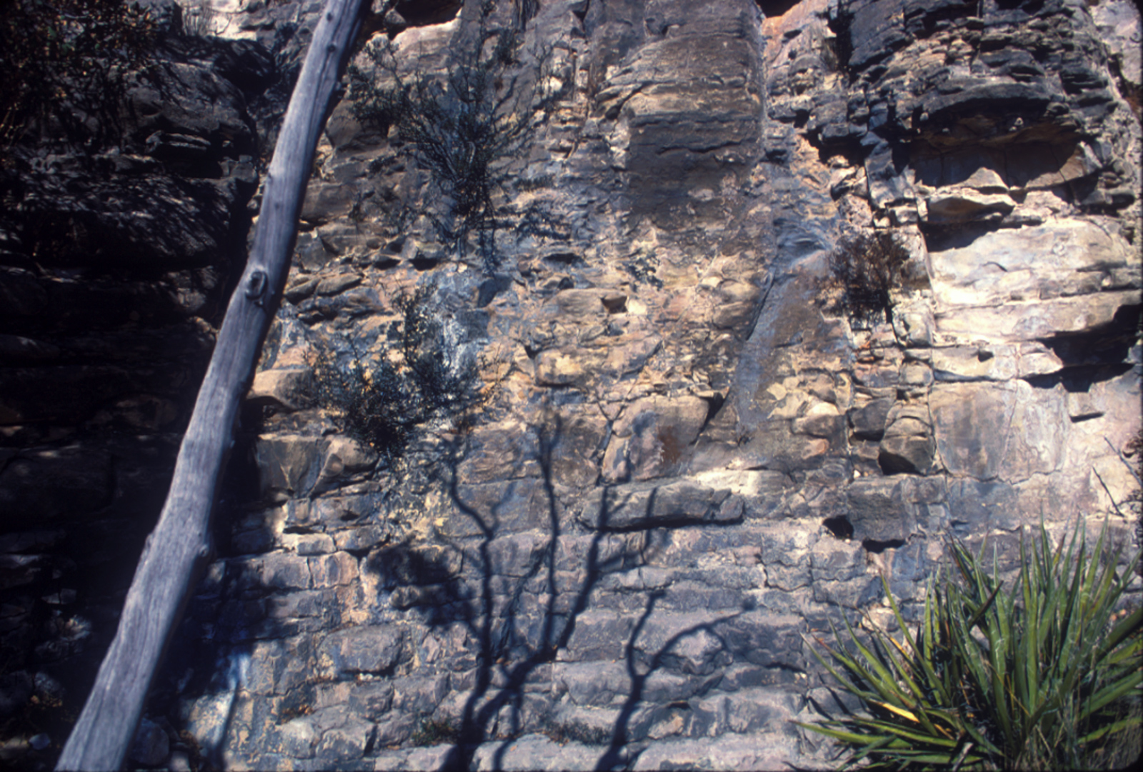
Looking around for the designated site I was supposed to occupy proved futile, owing to my inexperience. I’d thought it would be close to the trail and didn’t find it that evening, so I set up in the only clear flat spot I could find which was unfortunately right next to the trail (mea culpa: this is a huge no-no but I was dumb then).
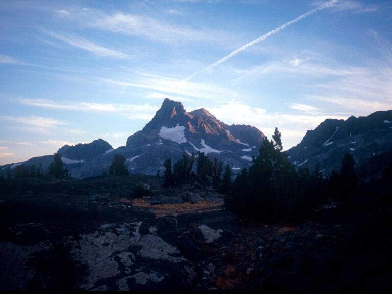
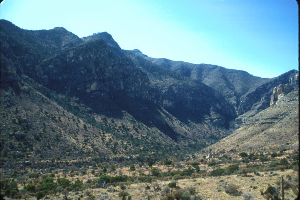
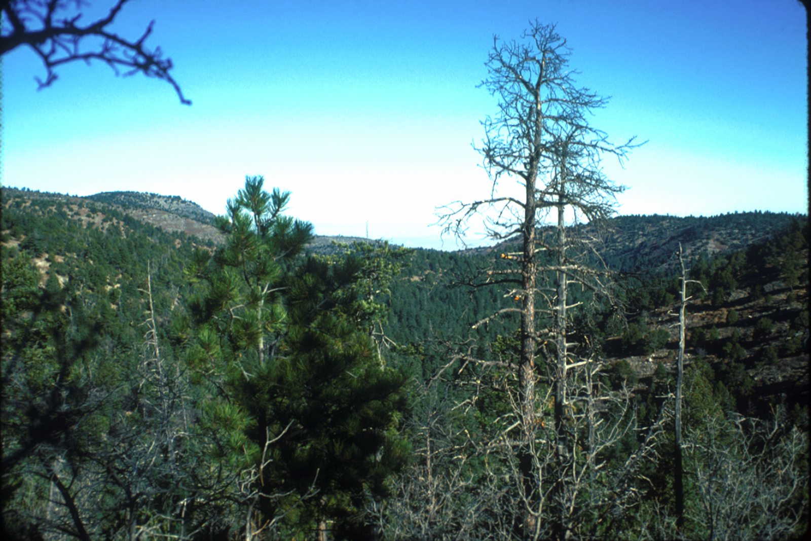
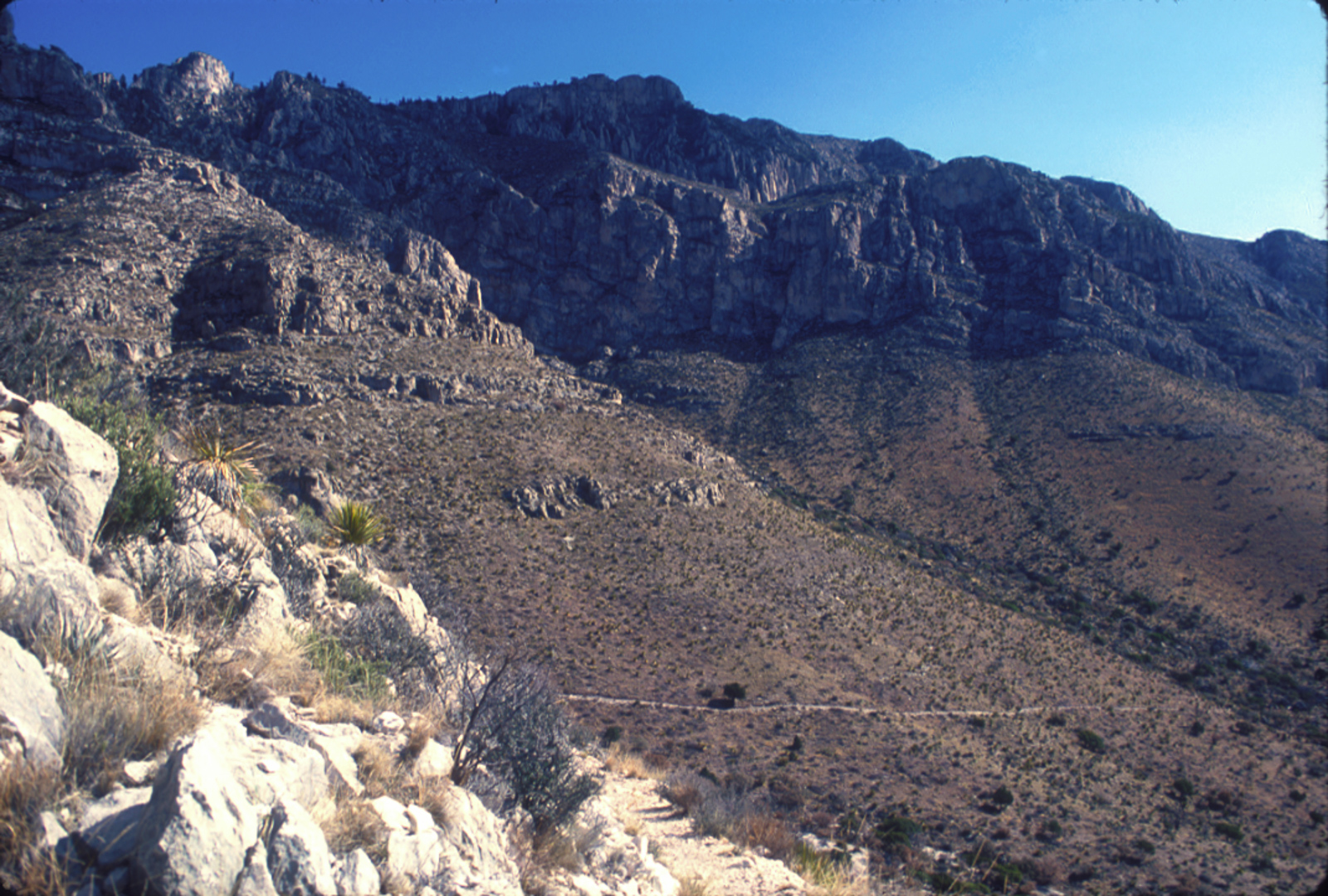
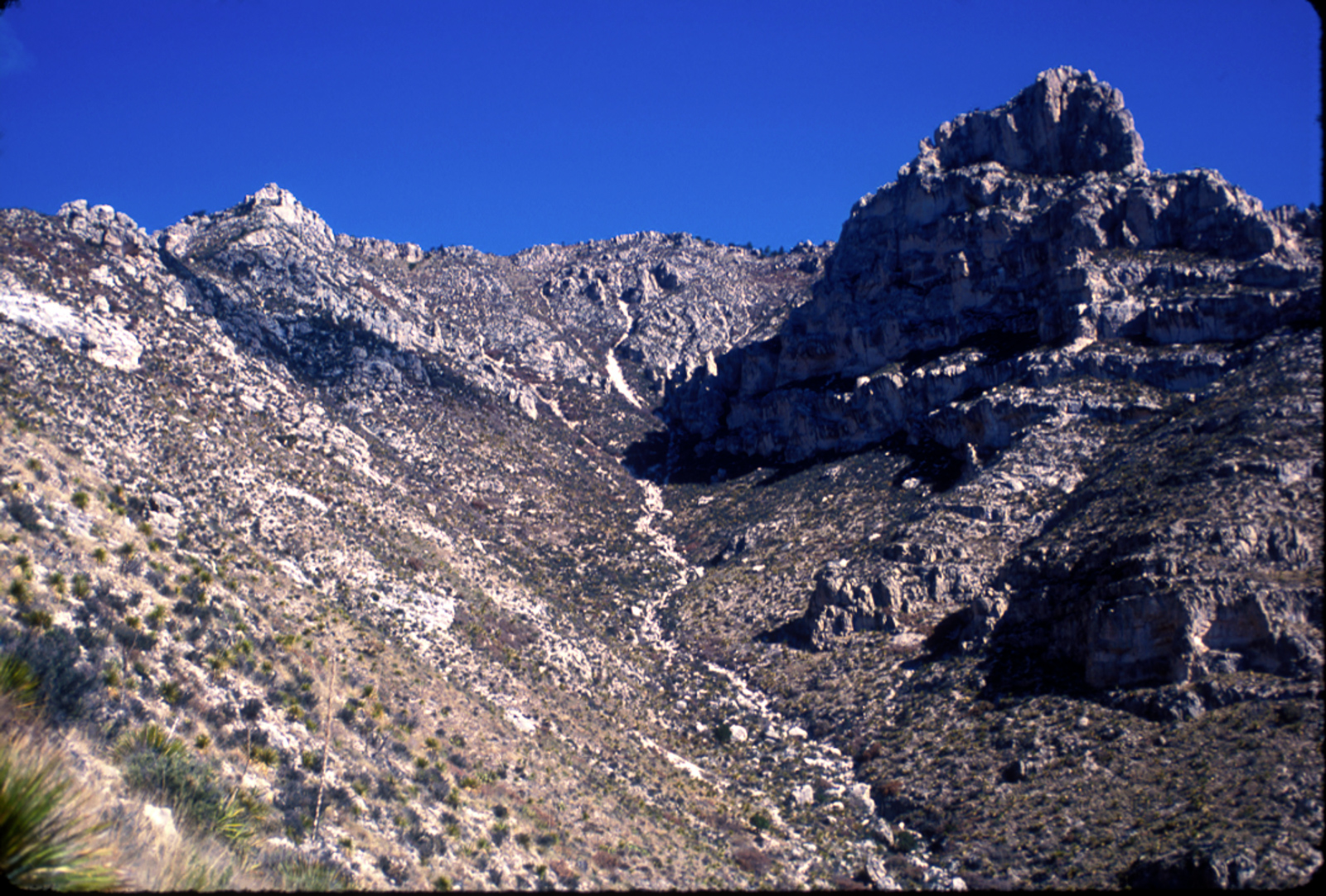
I rose before dawn, packed up and headed over to the Hunter Peak area. I took some pictures there, including a few showing the early NPS residemce area. I then made my way over to the next backcountry site, Tejas. I believe I took the western side of the Bowl trail. Something I’ve forgotten over the years but is now brought back to me when I look at the pictures is how shocked I was at the magnitude of the forest. I’m used to that now, having been in the Guadalupe Mountains high country many times, but at the time it was a revelation.
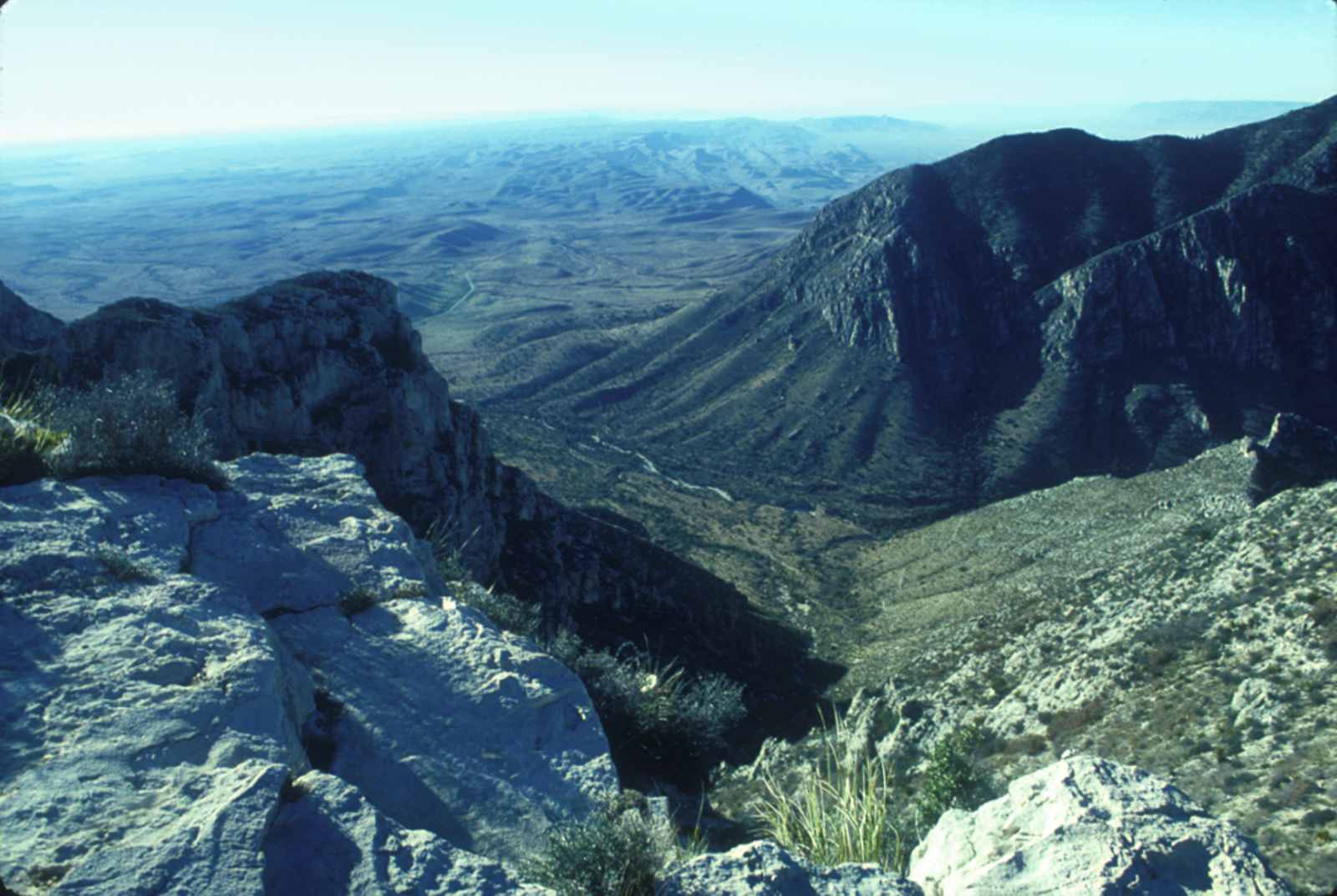
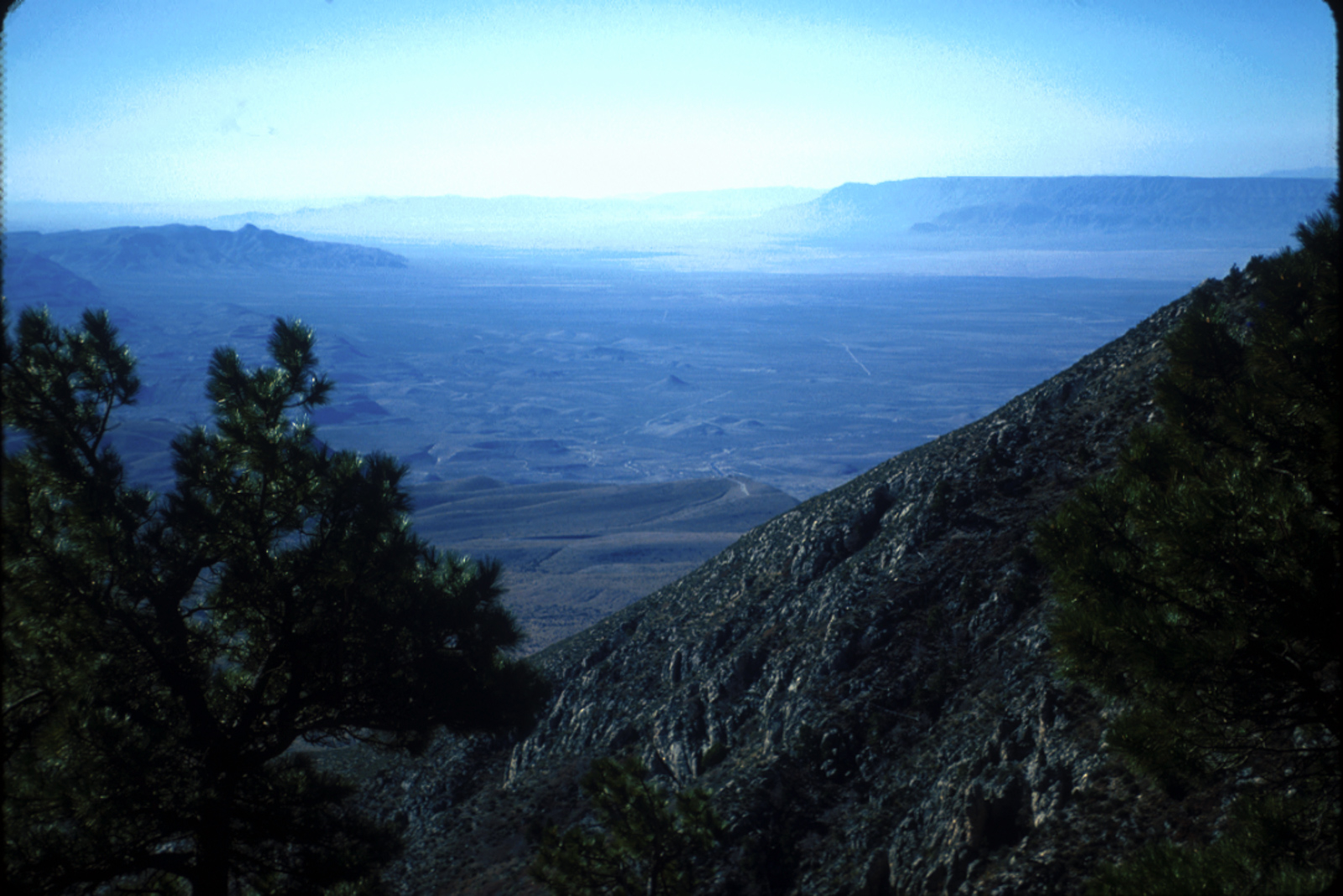
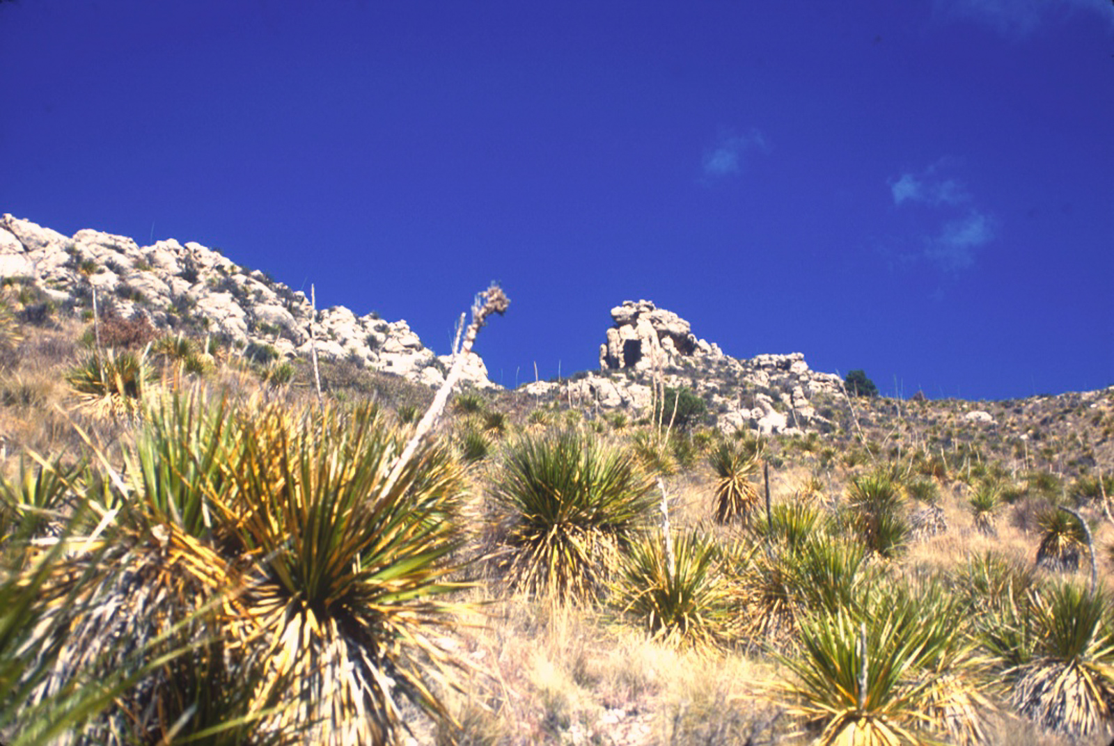
The entire Trans-Pecos area of Texas is desert, covered by desert scrub and larger trees are only found wherever the occasional spring pops up, or along the Pecos River. In the Guadalupe Mountains this pattern persists but once one gets above 6,000′ or so the landscape begins to change; McKittrick Canyon is well known for its Bigtooth Maples and other deciduous trees thanks to a permanent, spring-fed stream and I had been there before. But to most people looking at the long Guadalupe escarpment, capped by El Capitan at the southern end, the mountains look rocky and barren. But it has a “reverse timberline”–as you get higher, the slightly cooler and wetter zone allows a few more trees to survive, but you don’t really see the mammoth trees until you get above 7,000′ or so and on the north side of the mountains.
On the north side, more protected from the punishing sun and capturing a little bit more moisture, a large and diverse forest is found, replete with Piñon and Ponderosa pines and other conifers, oaks, maple and even Aspen.
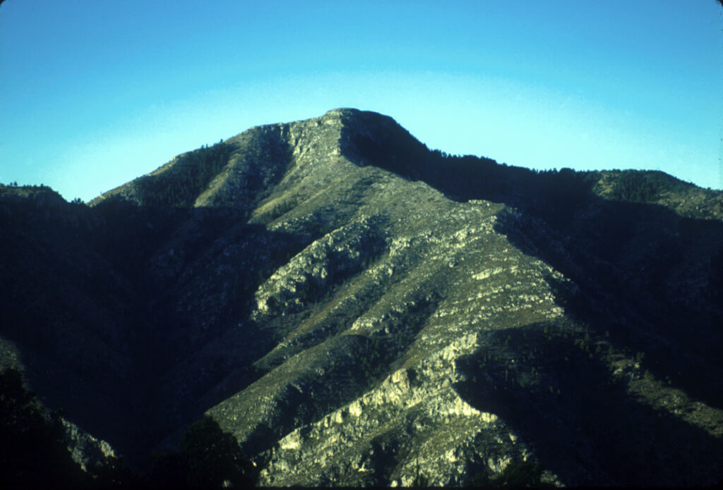
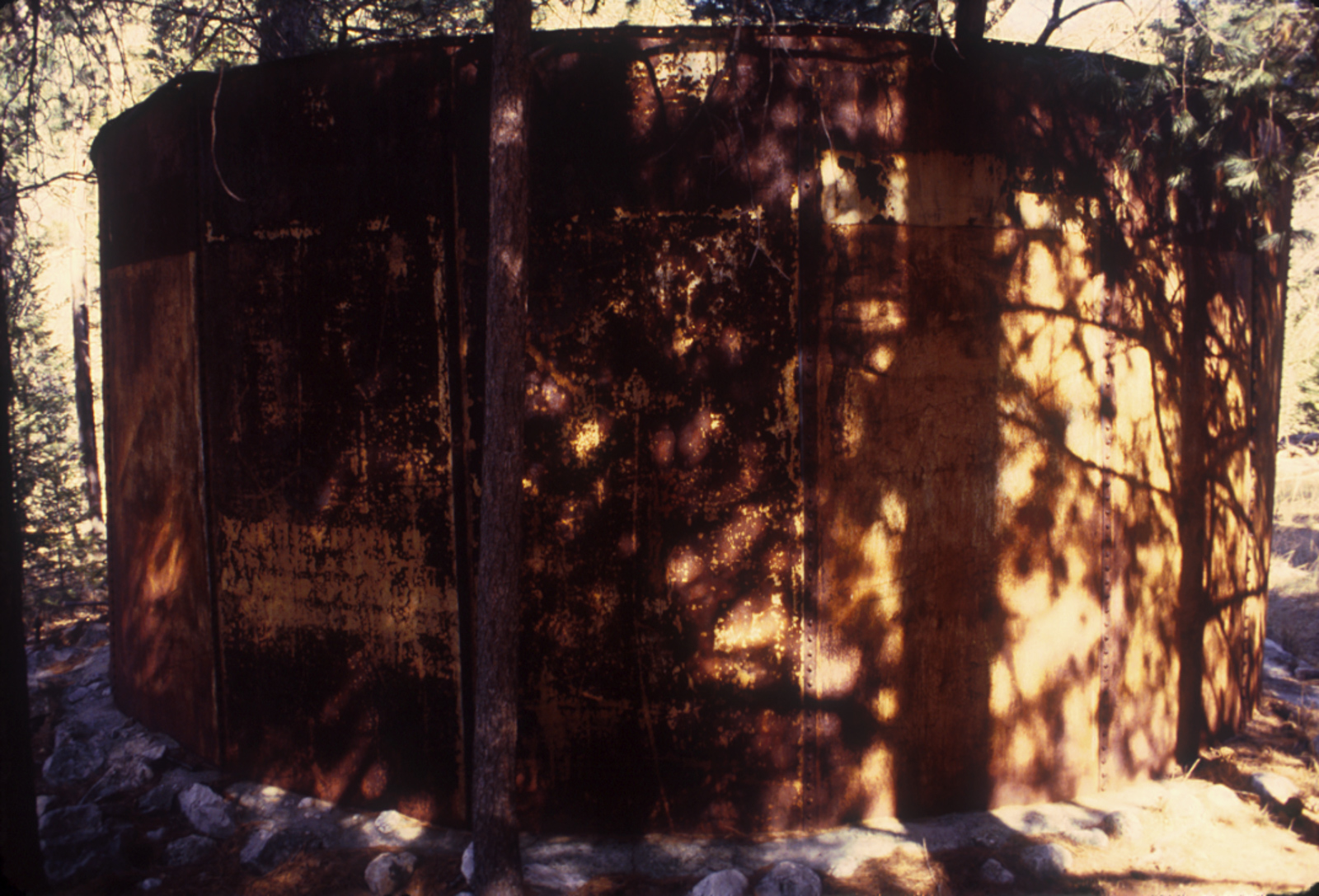
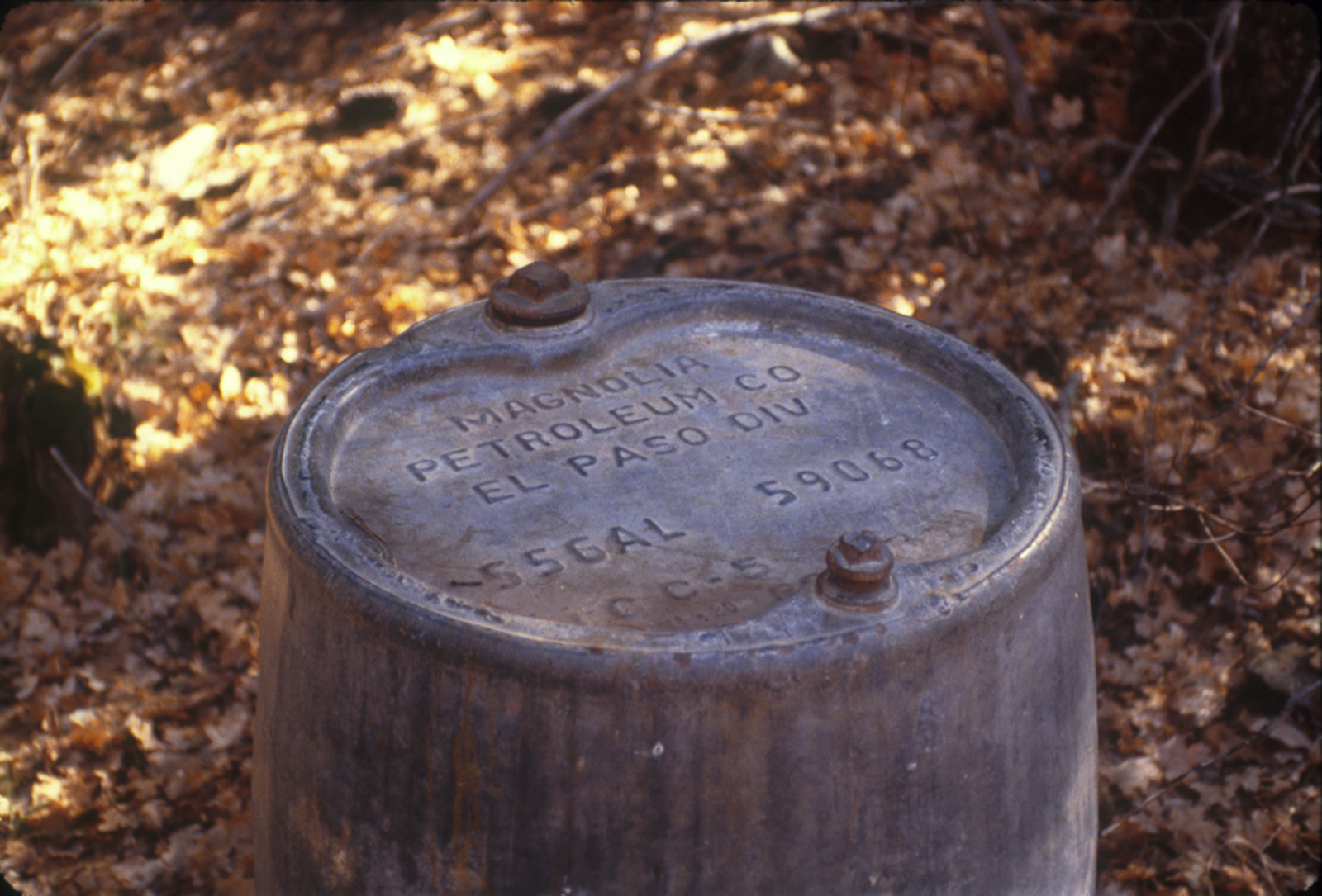
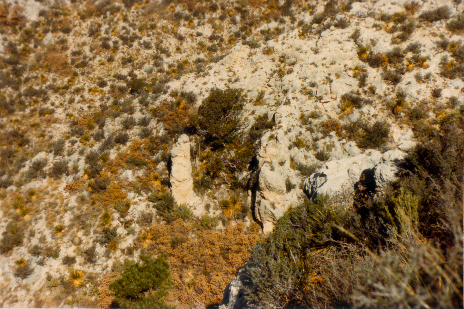
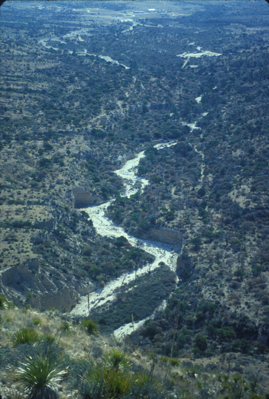
Approaching Tejas backcountry site, the trail follows a dry wash, and occasionally some small diameter pipe would also run along the trail (we’d call it “tubing” in the oilfield). When I got to Tejas (no confusion this time–the sites were clearly laid out) I spent the afternoon exploring the area. To my surprise I found a rather extensive irrigation system, long out of use, and more oilfield castaways, such as the tubing and Magnolia Petroleum oil drums. Later that evening a couple of guys came in, so there were two sites occupied at Tejas than night.
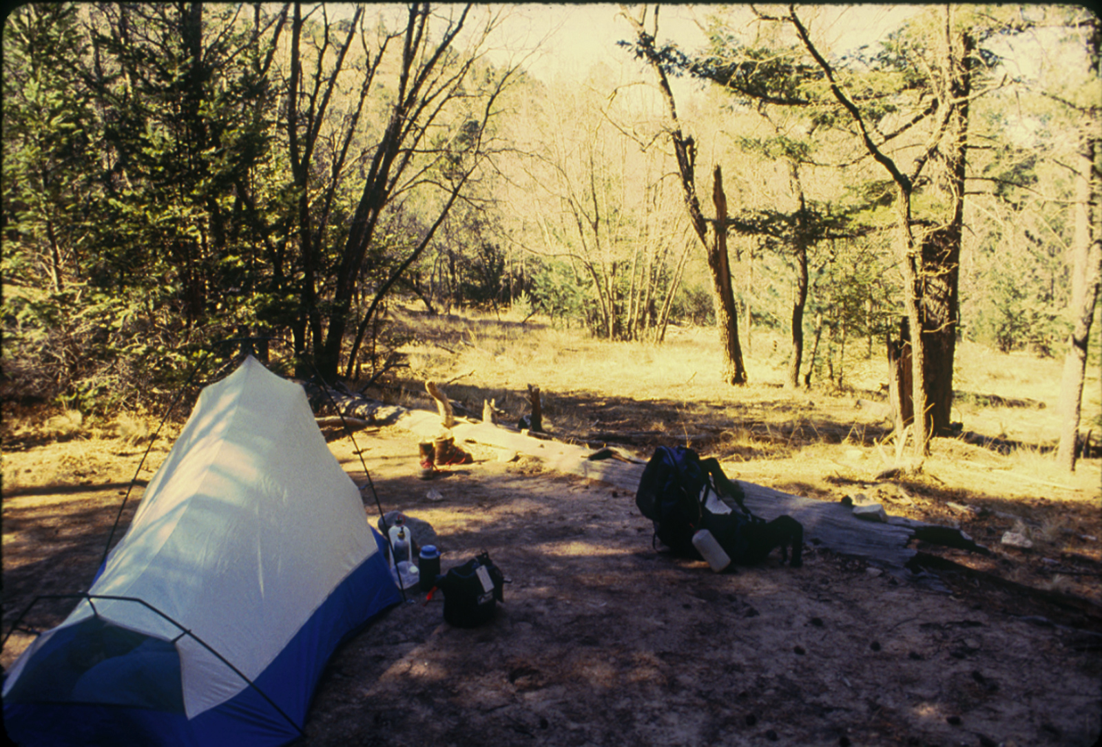
That night I spent some time experimenting with night photography; I succeeded in getting some photos of stars, but very unimpressive results compared to the easy captures of much better pictures today with my iPhone. The next morning I returned via the Tejas trail to the Pine Top site (which I found correctly this time). It was odd, apparently under some construction or something–one had to sleep on top of plywood platforms which was strange. Anyway I explored along the Bush Mountain trail for a while; it was overcast and not particularly scenic that day.
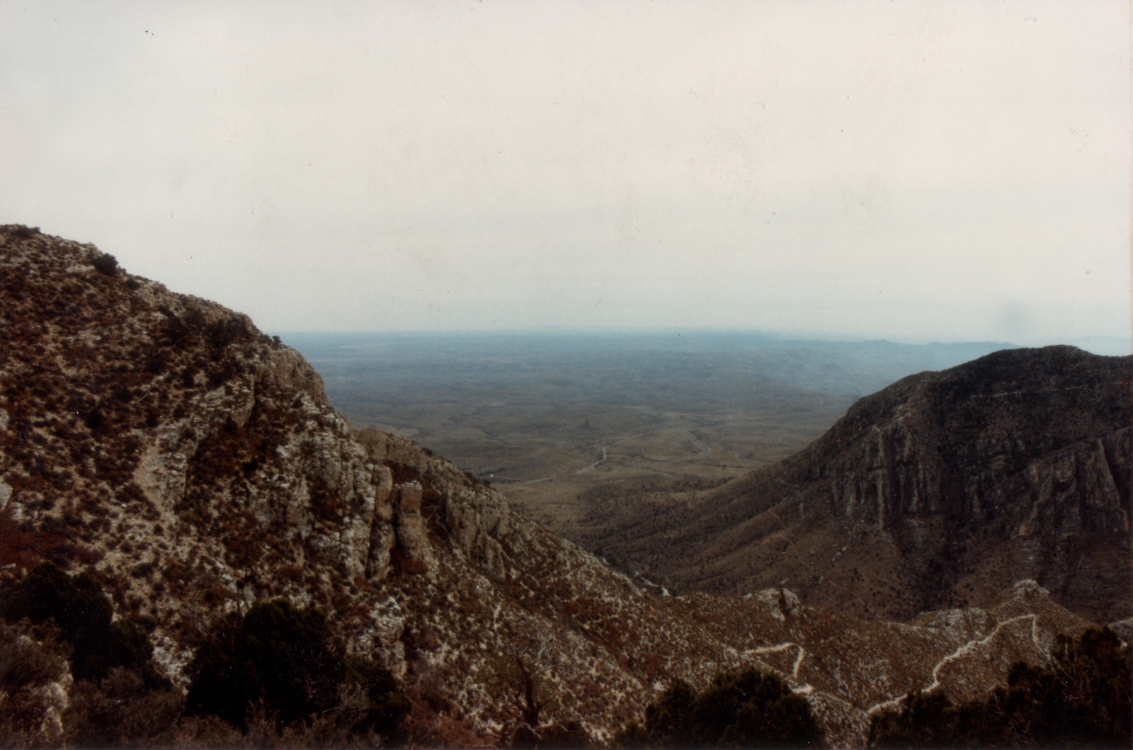
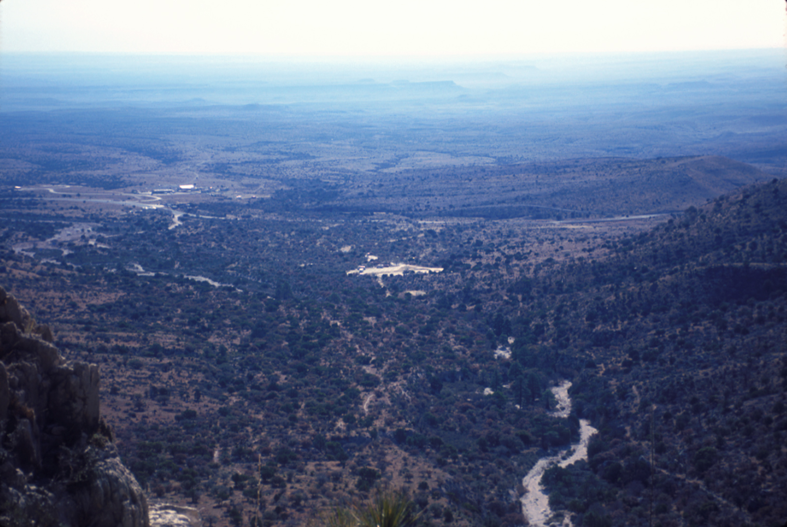
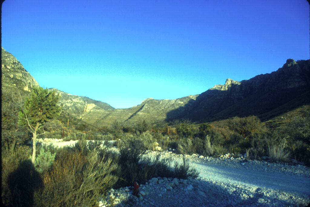
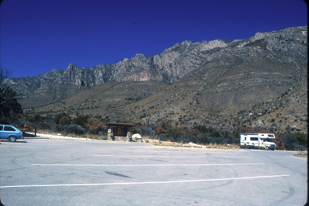
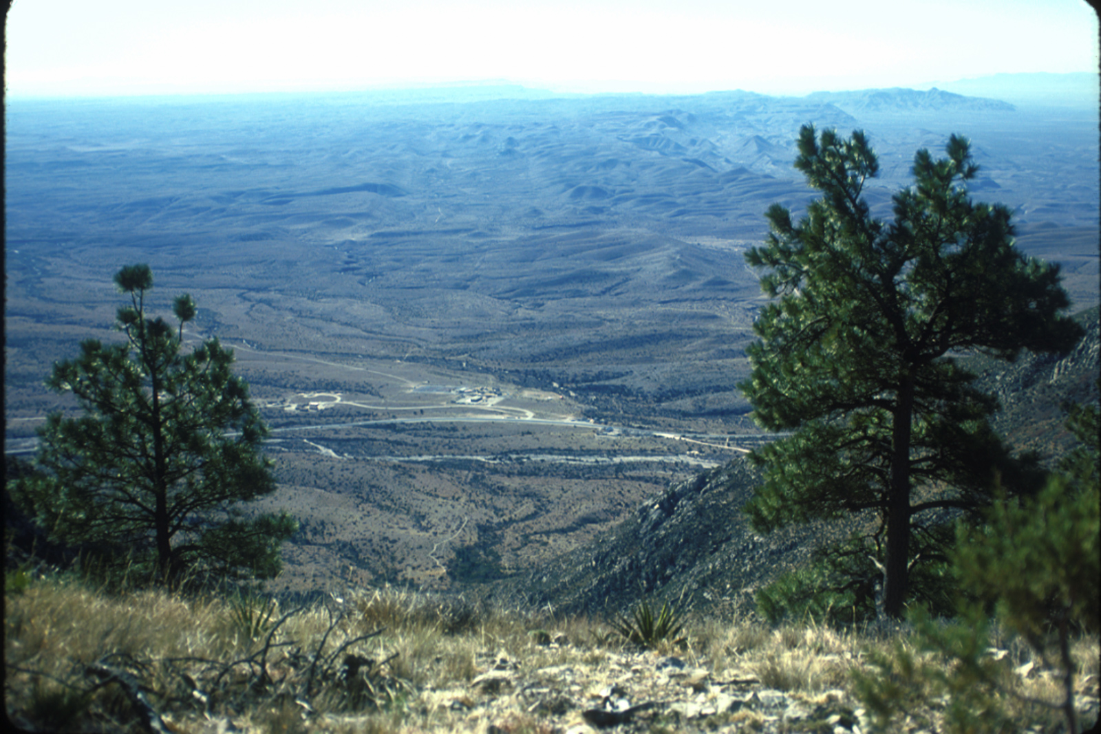
The next morning it was bright and sunny as I returned down the Tejas trail to the trailhead. The photos of Pine Springs Canyon which show the campground, maybe the old Glover store, and the development (or lack thereof) of the NPS residential area are somewhat interesting when compared to today. I rested a bit after arriving back at the nearly deserted trailhead, then departed the park, stopping to shoot a few photos from the El Capitan viewing area.
Little did I know that the recent collapse in oil prices that had given me the time off from my offshore job to do this trip would result in my layoff in June of that year. (Well, maybe I did suspect it was coming.)
Gear:
- Gregory Cassin pack
- Raichle Montagna Hiking Boots
- Tent: Sierra Designs Clip Flashlight 2
- Patagonia Capilene top
- Patagonia original Pile jacket
- Patagonia original pile balaclave
- Blue jeans?!
- Navigation: Silva Ranger 15T compass
Someday I’ll add the ridiculous extra gear/supplies I packed, when I get around to remembering.
Discover more from Phil's Phieldnotes
Subscribe to get the latest posts sent to your email.